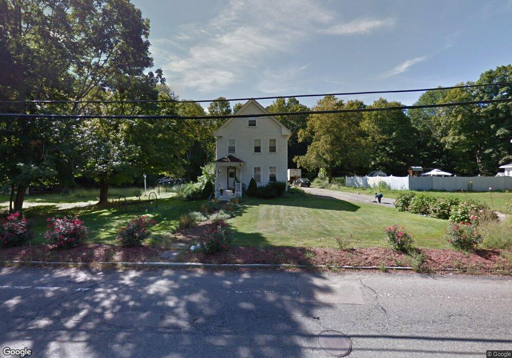
202 East St Wrentham, MA 02093
Estimated Value: $557,000 - $633,000
3
Beds
2
Baths
1,512
Sq Ft
$399/Sq Ft
Est. Value
About This Home
This home is located at 202 East St, Wrentham, MA 02093 and is currently estimated at $603,395, approximately $399 per square foot. 202 East St is a home located in Norfolk County with nearby schools including Delaney Elementary School and Charles E Roderick.
Ownership History
Date
Name
Owned For
Owner Type
Purchase Details
Closed on
Dec 13, 2002
Sold by
Marino Joseph R and Marino Carmela K
Bought by
Marino Vincent J and Marino Kathleen A
Current Estimated Value
Home Financials for this Owner
Home Financials are based on the most recent Mortgage that was taken out on this home.
Original Mortgage
$161,600
Outstanding Balance
$69,065
Interest Rate
6.17%
Mortgage Type
Purchase Money Mortgage
Estimated Equity
$534,330
Create a Home Valuation Report for This Property
The Home Valuation Report is an in-depth analysis detailing your home's value as well as a comparison with similar homes in the area
Home Values in the Area
Average Home Value in this Area
Purchase History
| Date | Buyer | Sale Price | Title Company |
|---|---|---|---|
| Marino Vincent J | $202,000 | -- |
Source: Public Records
Mortgage History
| Date | Status | Borrower | Loan Amount |
|---|---|---|---|
| Open | Marino Vincent J | $161,600 |
Source: Public Records
Tax History Compared to Growth
Tax History
| Year | Tax Paid | Tax Assessment Tax Assessment Total Assessment is a certain percentage of the fair market value that is determined by local assessors to be the total taxable value of land and additions on the property. | Land | Improvement |
|---|---|---|---|---|
| 2025 | $5,766 | $497,500 | $273,400 | $224,100 |
| 2024 | $5,574 | $464,500 | $273,400 | $191,100 |
| 2023 | $5,472 | $433,600 | $248,500 | $185,100 |
| 2022 | $5,152 | $376,900 | $223,600 | $153,300 |
| 2021 | $4,937 | $350,900 | $199,800 | $151,100 |
| 2020 | $4,866 | $341,500 | $182,300 | $159,200 |
| 2019 | $4,521 | $320,200 | $165,700 | $154,500 |
| 2018 | $3,560 | $250,000 | $166,000 | $84,000 |
| 2017 | $3,426 | $240,400 | $162,700 | $77,700 |
| 2016 | $3,324 | $232,800 | $158,000 | $74,800 |
| 2015 | $3,281 | $219,000 | $151,900 | $67,100 |
| 2014 | $3,249 | $212,200 | $146,100 | $66,100 |
Source: Public Records
Map
Nearby Homes
- 362 East St
- 10 Nature View Dr
- 15 Nature View Dr
- 1 Lorraine Metcalf Dr
- 270 Dedham St
- 319 Taunton St
- 65 Pond St
- 131 Creek St Unit 7
- 11 Earle Stewart Ln
- 120 Hawes St
- Lot 3 - 14 Earle Stewart Ln
- Lot 1 - Blueberry 2 Car Plan at King Philip Estates
- Lot 8 - Blueberry 2 Car Plan at King Philip Estates
- Lot 5 - Hughes 2 car Plan at King Philip Estates
- Lot 6 - Blueberry 3 Car Plan at King Philip Estates
- Lot 2 - Camden 2 Car Plan at King Philip Estates
- Lot 7 - Cedar Plan at King Philip Estates
- Lot 4 - Hemingway 2 Car Plan at King Philip Estates
- Lot 3 - Blueberry 2 Car Plan at King Philip Estates
- 483 Thurston St