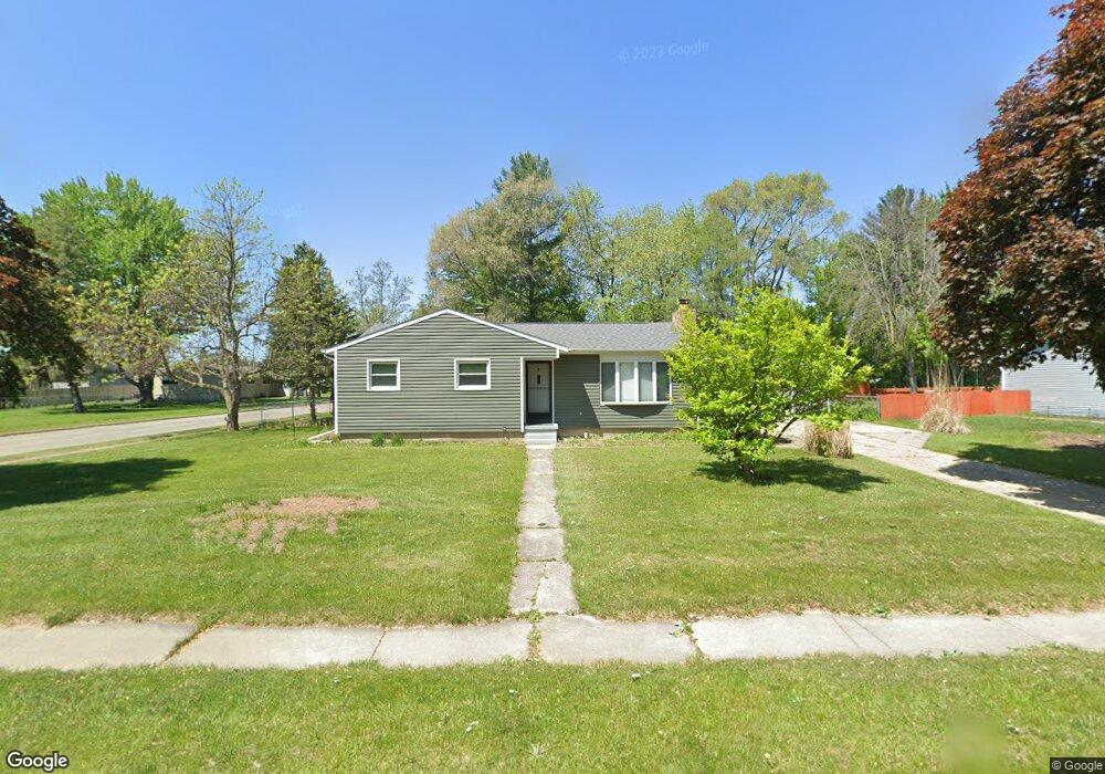
202 Edward St Auburn, MI 48611
Estimated Value: $173,441 - $211,000
--
Bed
--
Bath
1,056
Sq Ft
$181/Sq Ft
Est. Value
About This Home
This home is located at 202 Edward St, Auburn, MI 48611 and is currently estimated at $191,610, approximately $181 per square foot. 202 Edward St is a home located in Bay County with nearby schools including Auburn Elementary School, Western Middle School, and Bay City Western High School.
Ownership History
Date
Name
Owned For
Owner Type
Purchase Details
Closed on
Nov 11, 2006
Sold by
Neumeyer F Kay
Bought by
Smith Ronald D and Smith Ronald D
Current Estimated Value
Home Financials for this Owner
Home Financials are based on the most recent Mortgage that was taken out on this home.
Original Mortgage
$110,322
Outstanding Balance
$65,951
Interest Rate
6.4%
Mortgage Type
VA
Estimated Equity
$125,659
Purchase Details
Closed on
Sep 24, 2004
Sold by
Cody Patricia C and Cody Martin Thomas
Bought by
Neumeyer F Kay
Home Financials for this Owner
Home Financials are based on the most recent Mortgage that was taken out on this home.
Original Mortgage
$59,500
Interest Rate
5.95%
Mortgage Type
Purchase Money Mortgage
Create a Home Valuation Report for This Property
The Home Valuation Report is an in-depth analysis detailing your home's value as well as a comparison with similar homes in the area
Home Values in the Area
Average Home Value in this Area
Purchase History
| Date | Buyer | Sale Price | Title Company |
|---|---|---|---|
| Smith Ronald D | $108,000 | None Available | |
| Neumeyer F Kay | $95,500 | Fatic |
Source: Public Records
Mortgage History
| Date | Status | Borrower | Loan Amount |
|---|---|---|---|
| Open | Smith Ronald D | $110,322 | |
| Previous Owner | Neumeyer F Kay | $59,500 |
Source: Public Records
Tax History Compared to Growth
Tax History
| Year | Tax Paid | Tax Assessment Tax Assessment Total Assessment is a certain percentage of the fair market value that is determined by local assessors to be the total taxable value of land and additions on the property. | Land | Improvement |
|---|---|---|---|---|
| 2025 | $2,495 | $70,500 | $0 | $0 |
| 2024 | $1,954 | $62,400 | $0 | $0 |
| 2023 | $1,861 | $56,000 | $0 | $0 |
| 2022 | $2,246 | $48,900 | $0 | $0 |
| 2021 | $2,113 | $47,500 | $47,500 | $0 |
| 2020 | $1,983 | $45,500 | $45,500 | $0 |
| 2019 | $1,918 | $44,400 | $0 | $0 |
| 2018 | $1,894 | $45,700 | $0 | $0 |
| 2017 | $1,750 | $43,400 | $0 | $0 |
| 2016 | $1,688 | $42,700 | $0 | $42,700 |
| 2015 | -- | $43,200 | $0 | $43,200 |
| 2014 | -- | $42,300 | $0 | $42,300 |
Source: Public Records
Map
Nearby Homes
- 0 Price St
- 319 Price St
- 423 Sunshine Ct
- 937 Appaloosa Pass
- 221 Sycamore Ln
- 0 W North Union Rd Unit 50166876
- 268 W Midland Rd
- 1186 W Midland Rd
- 4649 Stephanie Ct
- 230 W Midland Rd
- 4760 Putt Ln
- 4648 Meadow Ct
- 1365 W North Union Rd
- 0 Court St
- 5501 Garfield Rd
- 4855 Wheat Ridge Ct
- 1598 Fisherville Ct
- 1587 Fisherville Ct
- 1598 Dawn Marie Ct
- 5749 11 Mile Rd