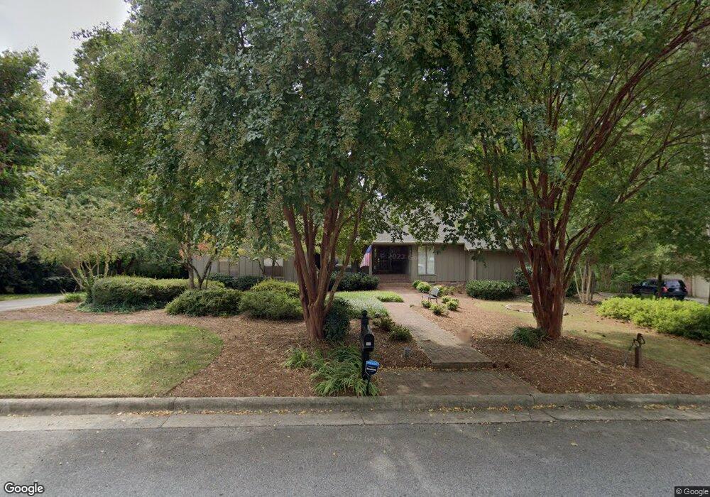
202 Edwards Ln Jamestown, NC 27282
Estimated Value: $431,000 - $490,000
4
Beds
3
Baths
2,295
Sq Ft
$202/Sq Ft
Est. Value
About This Home
This home is located at 202 Edwards Ln, Jamestown, NC 27282 and is currently estimated at $462,857, approximately $201 per square foot. 202 Edwards Ln is a home located in Guilford County with nearby schools including Jamestown Elementary School, Jamestown Middle School, and Ragsdale High School.
Ownership History
Date
Name
Owned For
Owner Type
Purchase Details
Closed on
Jun 29, 1999
Sold by
Cates Bradley W and Cates Jodi W
Bought by
Douglass Don M and Douglass Patricia M
Current Estimated Value
Home Financials for this Owner
Home Financials are based on the most recent Mortgage that was taken out on this home.
Original Mortgage
$200,000
Outstanding Balance
$54,739
Interest Rate
7.27%
Estimated Equity
$408,118
Purchase Details
Closed on
Jun 26, 1998
Sold by
Cates Hugh M and Cates Judith M
Bought by
Cates Bradley W and Cates Jodi W
Home Financials for this Owner
Home Financials are based on the most recent Mortgage that was taken out on this home.
Original Mortgage
$218,500
Interest Rate
7.21%
Create a Home Valuation Report for This Property
The Home Valuation Report is an in-depth analysis detailing your home's value as well as a comparison with similar homes in the area
Home Values in the Area
Average Home Value in this Area
Purchase History
| Date | Buyer | Sale Price | Title Company |
|---|---|---|---|
| Douglass Don M | $255,000 | -- | |
| Cates Bradley W | $230,000 | -- |
Source: Public Records
Mortgage History
| Date | Status | Borrower | Loan Amount |
|---|---|---|---|
| Open | Douglass Don M | $200,000 | |
| Previous Owner | Cates Bradley W | $218,500 |
Source: Public Records
Tax History Compared to Growth
Tax History
| Year | Tax Paid | Tax Assessment Tax Assessment Total Assessment is a certain percentage of the fair market value that is determined by local assessors to be the total taxable value of land and additions on the property. | Land | Improvement |
|---|---|---|---|---|
| 2025 | $4,058 | $299,400 | $55,000 | $244,400 |
| 2024 | $4,058 | $299,400 | $55,000 | $244,400 |
| 2023 | $4,058 | $299,400 | $55,000 | $244,400 |
| 2022 | $3,639 | $299,400 | $55,000 | $244,400 |
| 2021 | $2,916 | $239,900 | $50,000 | $189,900 |
| 2020 | $2,916 | $239,900 | $50,000 | $189,900 |
| 2019 | $2,875 | $239,900 | $0 | $0 |
| 2018 | $2,861 | $239,900 | $0 | $0 |
| 2017 | $2,875 | $239,900 | $0 | $0 |
| 2016 | $3,043 | $251,500 | $0 | $0 |
| 2015 | $3,056 | $251,500 | $0 | $0 |
| 2014 | $3,081 | $251,500 | $0 | $0 |
Source: Public Records
Map
Nearby Homes
- 120 Brookberry Dr
- 107 Brookberry Dr
- 104 Ragsdale Rd
- 200 Oakdale Forest Ct Unit Lot 1
- 200 Oakdale Forest Ct
- 5 Langholm Ct
- 204 Oakdale Forest Ct Unit Lot 3
- 204 Oakdale Forest Ct
- 206 Oakdale Forest Ct
- 206 Oakdale Forest Ct Unit Lot 4
- 201 Ragsdale Rd
- 202 Oakdale Rd
- 208 Oakdale Forest Ct
- 208 Oakdale Forest Ct Unit Lot 5
- 101 Byrnwood Dr
- 207 Forestdale Dr
- 105 Forestdale Dr
- 312 Quarterpath Ln
- 215 Channel Cove Ct
- 306 Misty Waters Ln
- 204 Edwards Ln
- 200 Edwards Ln
- 203 Edwards Ln
- 113 Brookberry Dr
- 410 Wyndwood Dr
- 500 Wyndwood Dr
- 408 Wyndwood Dr
- 111 Brookberry Dr
- 118 Brookberry Dr
- 106 Somerset Dr
- 116 Brookberry Dr
- 406 Wyndwood Dr
- 501 Wyndwood Dr
- 109 Brookberry Dr
- 407 Wyndwood Dr
- 114 Brookberry Dr
- 603 Oneil Dr
- 603 Oneil Dr
- 601 Oneil Dr
- 405 Wyndwood Dr