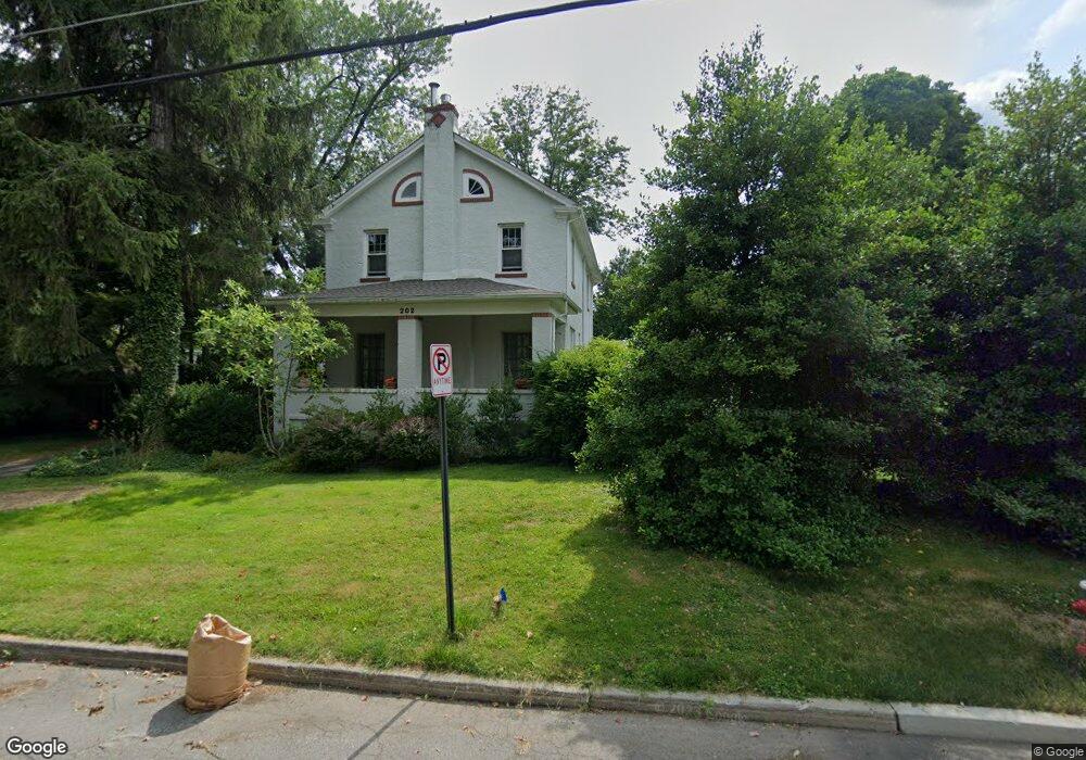
202 Ewing St Princeton, NJ 08540
Estimated Value: $1,107,000 - $1,492,000
--
Bed
--
Bath
2,181
Sq Ft
$601/Sq Ft
Est. Value
About This Home
This home is located at 202 Ewing St, Princeton, NJ 08540 and is currently estimated at $1,310,455, approximately $600 per square foot. 202 Ewing St is a home located in Mercer County with nearby schools including Community Park Elementary School, Princeton Middle School, and Princeton High School.
Ownership History
Date
Name
Owned For
Owner Type
Purchase Details
Closed on
Jul 14, 2005
Current Estimated Value
Purchase Details
Closed on
Jun 28, 2002
Sold by
Storie Wayne
Bought by
Christy Michelle and Vandryes Margaret
Home Financials for this Owner
Home Financials are based on the most recent Mortgage that was taken out on this home.
Original Mortgage
$360,000
Interest Rate
6.82%
Create a Home Valuation Report for This Property
The Home Valuation Report is an in-depth analysis detailing your home's value as well as a comparison with similar homes in the area
Home Values in the Area
Average Home Value in this Area
Purchase History
| Date | Buyer | Sale Price | Title Company |
|---|---|---|---|
| -- | $750,000 | -- | |
| Christy Michelle | $400,000 | -- |
Source: Public Records
Mortgage History
| Date | Status | Borrower | Loan Amount |
|---|---|---|---|
| Previous Owner | Christy Michelle | $360,000 |
Source: Public Records
Tax History Compared to Growth
Tax History
| Year | Tax Paid | Tax Assessment Tax Assessment Total Assessment is a certain percentage of the fair market value that is determined by local assessors to be the total taxable value of land and additions on the property. | Land | Improvement |
|---|---|---|---|---|
| 2025 | $19,160 | $719,500 | $357,000 | $362,500 |
| 2024 | $18,088 | $719,500 | $357,000 | $362,500 |
| 2023 | $18,088 | $719,500 | $357,000 | $362,500 |
| 2022 | $17,355 | $713,600 | $357,000 | $356,600 |
| 2021 | $16,480 | $675,700 | $327,000 | $348,700 |
| 2020 | $16,352 | $675,700 | $327,000 | $348,700 |
| 2019 | $15,492 | $653,100 | $327,000 | $326,100 |
| 2018 | $15,230 | $653,100 | $327,000 | $326,100 |
| 2017 | $15,021 | $653,100 | $327,000 | $326,100 |
| 2016 | $14,078 | $621,800 | $302,000 | $319,800 |
| 2015 | $13,754 | $621,800 | $302,000 | $319,800 |
| 2014 | $13,586 | $621,800 | $302,000 | $319,800 |
Source: Public Records
Map
Nearby Homes
- 16 Cameron Ct
- 22 Gordon Way
- 380 Franklin Ave
- 57 Moran Ave
- 189 Moore St
- 1 Markham Rd Unit 2C
- 1 Markham Rd Unit 1D
- 36 Moore St Unit 6
- 17 Aiken Ave
- 261 Moore St
- 56 Patton Ave
- 3 Harris Rd
- 428 Nassau St
- 75 Clover Ln
- 201 Grover Ave
- 532 Kingston Rd
- 722 Avery Ln
- 721 Avery Ln
- 98 Nassau St Unit 3
- 67 Locust Ln
- 204 Ewing St Unit A
- 204 Ewing St
- 206 Ewing St
- 105 Linden Ln
- 105 1/2 Linden Ln
- 208 Ewing St
- 246 Hawthorne Ave
- 103 Linden Ln
- 103 1/2 Linden Ln
- 109 Linden Ln
- 109 Linden Ln
- 198 Ewing St
- 210 Ewing St
- 111 Linden Ln
- 99 Linden Ln
- 99 Linden Ln Unit A
- 207 Ewing St
- 101 Linden Ln Unit B
- 101 Linden Ln
- 250 Hawthorne Ave