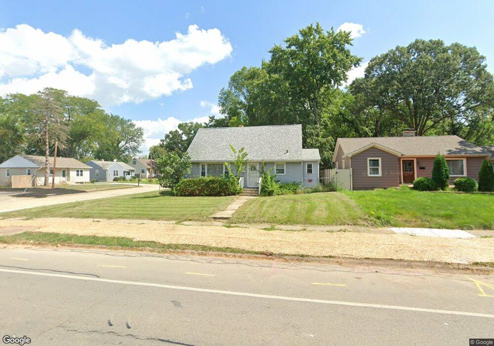
202 Fairview Ave Rockford, IL 61108
Estimated Value: $143,000 - $154,000
4
Beds
2
Baths
1,141
Sq Ft
$130/Sq Ft
Est. Value
About This Home
This home is located at 202 Fairview Ave, Rockford, IL 61108 and is currently estimated at $148,207, approximately $129 per square foot. 202 Fairview Ave is a home located in Winnebago County with nearby schools including Maud E. Johnson Elementary School, Abraham Lincoln Middle School, and Rockford East High School.
Ownership History
Date
Name
Owned For
Owner Type
Purchase Details
Closed on
Jul 4, 2024
Sold by
Schoon E Raymond E and Schoon Catherine R
Bought by
Mcwilliams Timothy
Current Estimated Value
Home Financials for this Owner
Home Financials are based on the most recent Mortgage that was taken out on this home.
Original Mortgage
$98,697
Outstanding Balance
$97,493
Interest Rate
6.88%
Mortgage Type
FHA
Estimated Equity
$50,714
Create a Home Valuation Report for This Property
The Home Valuation Report is an in-depth analysis detailing your home's value as well as a comparison with similar homes in the area
Home Values in the Area
Average Home Value in this Area
Purchase History
| Date | Buyer | Sale Price | Title Company |
|---|---|---|---|
| Mcwilliams Timothy | $135,000 | None Listed On Document |
Source: Public Records
Mortgage History
| Date | Status | Borrower | Loan Amount |
|---|---|---|---|
| Open | Mcwilliams Timothy | $98,697 |
Source: Public Records
Tax History Compared to Growth
Tax History
| Year | Tax Paid | Tax Assessment Tax Assessment Total Assessment is a certain percentage of the fair market value that is determined by local assessors to be the total taxable value of land and additions on the property. | Land | Improvement |
|---|---|---|---|---|
| 2024 | $3,281 | $34,625 | $4,079 | $30,546 |
| 2023 | $3,170 | $30,531 | $3,597 | $26,934 |
| 2022 | $3,118 | $27,289 | $3,215 | $24,074 |
| 2021 | $1,719 | $25,022 | $2,948 | $22,074 |
| 2020 | $879 | $23,655 | $2,787 | $20,868 |
| 2019 | $916 | $22,545 | $2,656 | $19,889 |
| 2018 | $1,351 | $21,247 | $2,504 | $18,743 |
| 2017 | $1,385 | $20,334 | $2,396 | $17,938 |
| 2016 | $1,352 | $19,953 | $2,351 | $17,602 |
| 2015 | $1,369 | $19,953 | $2,351 | $17,602 |
| 2014 | $2,791 | $23,587 | $2,943 | $20,644 |
Source: Public Records
Map
Nearby Homes
- 3419 Oak Grove Ave
- 3615 Marieme Dr
- 3715 Marieme Dr
- 106 Oriole Cir
- 407 28th St
- 3121 Crosby St
- 3619 Crosby St
- 320 Vale Ave S
- 414 Hilton Ave
- 336 Kenilworth Dr
- 2737 Broadmoor Dr
- 233 N Calvin Park Blvd
- 404 Vale Ave
- 4121 Crosby St
- 4016 Dempster Ave
- 215 Robert Ave
- 3603 Corbridge Ln
- 430 Hollister Ave
- 1112 Blenheim Dr
- 509 Wood Rd
- 204 Fairview Ave
- 3509 Oak Grove Ave
- 3508 Oak Grove Ave
- 208 Fairview Ave
- 3512 Oak Grove Ave
- 3425 Oak Grove Ave
- 205 Fairview Ave
- 215 Morningside Dr
- 116 Fairview Ave
- 212 Fairview Ave
- 207 Fairview Ave
- 3516 Oak Grove Ave
- 209 Fairview Ave
- 221 Morningside Dr
- 3520 Oak Grove Ave
- 3424 Oak Grove Ave
- 3426 Shirley Rd
- 3520 Shirley Rd
- 3604 Oak Grove Ave
- 3420 Oak Grove Ave