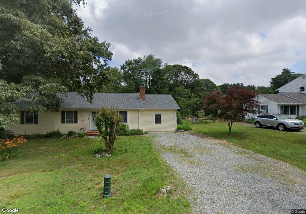
202 Fairview Dr Chestertown, MD 21620
Kingstown NeighborhoodEstimated Value: $267,361 - $377,000
Studio
1
Bath
1,828
Sq Ft
$187/Sq Ft
Est. Value
About This Home
This home is located at 202 Fairview Dr, Chestertown, MD 21620 and is currently estimated at $341,840, approximately $187 per square foot. 202 Fairview Dr is a home located in Queen Anne's County with nearby schools including Church Hill Elementary School, Sudlersville Middle School, and Queen Anne's County High School.
Ownership History
Date
Name
Owned For
Owner Type
Purchase Details
Closed on
Apr 6, 1992
Sold by
Orr Michele N and Orr Duane A
Bought by
Mcsorley Samuel Edward and Mary Kim
Current Estimated Value
Home Financials for this Owner
Home Financials are based on the most recent Mortgage that was taken out on this home.
Original Mortgage
$99,750
Interest Rate
8.96%
Purchase Details
Closed on
Apr 26, 1988
Sold by
Spray Charles A and Spray Mary
Bought by
Orr Michele N and Orr Duane A
Home Financials for this Owner
Home Financials are based on the most recent Mortgage that was taken out on this home.
Original Mortgage
$58,000
Interest Rate
10.3%
Create a Home Valuation Report for This Property
The Home Valuation Report is an in-depth analysis detailing your home's value as well as a comparison with similar homes in the area
Home Values in the Area
Average Home Value in this Area
Purchase History
| Date | Buyer | Sale Price | Title Company |
|---|---|---|---|
| Mcsorley Samuel Edward | $105,000 | -- | |
| Orr Michele N | $65,000 | -- |
Source: Public Records
Mortgage History
| Date | Status | Borrower | Loan Amount |
|---|---|---|---|
| Closed | Mcsorley Samuel Edward | $99,750 | |
| Previous Owner | Orr Michele N | $58,000 |
Source: Public Records
Tax History
| Year | Tax Paid | Tax Assessment Tax Assessment Total Assessment is a certain percentage of the fair market value that is determined by local assessors to be the total taxable value of land and additions on the property. | Land | Improvement |
|---|---|---|---|---|
| 2025 | $2,297 | $237,500 | $76,100 | $161,400 |
| 2024 | $2,114 | $218,033 | $0 | $0 |
| 2023 | $1,931 | $198,567 | $0 | $0 |
| 2022 | $1,747 | $179,100 | $56,100 | $123,000 |
| 2021 | $1,734 | $176,833 | $0 | $0 |
| 2020 | $1,734 | $174,567 | $0 | $0 |
| 2019 | $1,713 | $172,300 | $56,100 | $116,200 |
| 2018 | $1,603 | $160,900 | $0 | $0 |
| 2017 | $1,494 | $149,500 | $0 | $0 |
| 2016 | -- | $138,100 | $0 | $0 |
| 2015 | $826 | $138,100 | $0 | $0 |
| 2014 | $826 | $138,100 | $0 | $0 |
Source: Public Records
Map
Nearby Homes
- 129 Parma Rd
- 222 Dutchess Rd
- 109 Wilton Rd
- 119 Darden Rd
- 154 Longfellow Dr
- 0 East St
- 231 Richard Dr
- 206 Flyway Ln
- 117 N Water St Unit 1A, 1B, 2A, & 2B
- 117 N Water St Unit 2B
- 117 N Water St Unit 2A
- 117 N Water St Unit 1A
- 117 N Water St Unit 1B
- 204 Rolling Rd
- 104 Garland Ave
- 105 High St
- 216 Blakefield Dr
- 228 S Water St
- 206 S Water St
- 0 Elm St Unit MDKE2003590
Your Personal Tour Guide
Ask me questions while you tour the home.