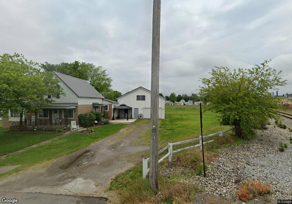
202 Fisher Ave van Wert, OH 45891
Estimated Value: $198,000 - $219,337
2
Beds
2
Baths
2,750
Sq Ft
$77/Sq Ft
Est. Value
About This Home
This home is located at 202 Fisher Ave, van Wert, OH 45891 and is currently estimated at $210,584, approximately $76 per square foot. 202 Fisher Ave is a home located in Van Wert County with nearby schools including Van Wert Early Childhood Center, Van Wert High School, and Lifelinks Community School.
Ownership History
Date
Name
Owned For
Owner Type
Purchase Details
Closed on
Jun 23, 2005
Sold by
Say Charles B and Say Theresa L
Bought by
Dunning Charis L and Dunning Robin R
Current Estimated Value
Home Financials for this Owner
Home Financials are based on the most recent Mortgage that was taken out on this home.
Original Mortgage
$93,400
Outstanding Balance
$58,037
Interest Rate
8.87%
Mortgage Type
Adjustable Rate Mortgage/ARM
Estimated Equity
$152,547
Purchase Details
Closed on
Apr 5, 2004
Bought by
Say Charles B
Create a Home Valuation Report for This Property
The Home Valuation Report is an in-depth analysis detailing your home's value as well as a comparison with similar homes in the area
Home Values in the Area
Average Home Value in this Area
Purchase History
| Date | Buyer | Sale Price | Title Company |
|---|---|---|---|
| Dunning Charis L | $46,700 | None Available | |
| Say Charles B | $79,900 | -- |
Source: Public Records
Mortgage History
| Date | Status | Borrower | Loan Amount |
|---|---|---|---|
| Open | Dunning Charis L | $93,400 |
Source: Public Records
Tax History Compared to Growth
Tax History
| Year | Tax Paid | Tax Assessment Tax Assessment Total Assessment is a certain percentage of the fair market value that is determined by local assessors to be the total taxable value of land and additions on the property. | Land | Improvement |
|---|---|---|---|---|
| 2024 | $1,870 | $56,210 | $6,380 | $49,830 |
| 2023 | $1,870 | $56,210 | $6,380 | $49,830 |
| 2022 | $1,682 | $44,090 | $6,120 | $37,970 |
| 2021 | $1,637 | $44,090 | $6,120 | $37,970 |
| 2020 | $1,632 | $44,090 | $6,120 | $37,970 |
| 2019 | $1,456 | $38,670 | $6,120 | $32,550 |
| 2018 | $1,435 | $38,670 | $6,120 | $32,550 |
| 2017 | $1,389 | $38,670 | $6,120 | $32,550 |
| 2016 | $1,287 | $36,090 | $6,120 | $29,970 |
| 2015 | $1,287 | $36,090 | $6,120 | $29,970 |
| 2014 | $1,274 | $36,090 | $6,120 | $29,970 |
| 2013 | $1,371 | $36,090 | $6,120 | $29,970 |
Source: Public Records
Map
Nearby Homes
- 1055 Westchester Ct
- 218 Burt St
- 1028 Westchester Ct
- 1006 Kear Rd
- 902 Kear Rd
- 829 Allingham St
- 603 Pewterboy Ave
- 927 Woodland Ave
- 1213 David St
- 729 George St
- 706 Woodland Ave
- 331 North St
- 1006 Hughes St
- 304 Anderson Ave
- 228 W 2nd St
- 1421 Krendl Dr
- 510 Euclid Ave
- 736 Leeson Ave
- 633 N Washington St
- 9188 John Brown Rd Unit Lot 37