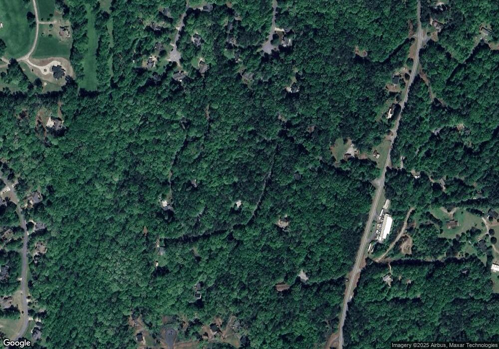
202 Gold Dust Trace Dahlonega, GA 30533
Estimated Value: $198,000 - $285,000
2
Beds
1
Bath
936
Sq Ft
$246/Sq Ft
Est. Value
About This Home
This home is located at 202 Gold Dust Trace, Dahlonega, GA 30533 and is currently estimated at $230,111, approximately $245 per square foot. 202 Gold Dust Trace is a home located in Lumpkin County with nearby schools including Clay County Middle School and Lumpkin County High School.
Ownership History
Date
Name
Owned For
Owner Type
Purchase Details
Closed on
Dec 4, 2018
Sold by
Volle Carl S
Bought by
Park Place Rentals Llc
Current Estimated Value
Purchase Details
Closed on
Dec 3, 2007
Sold by
Not Provided
Bought by
Volle Carl S
Purchase Details
Closed on
Aug 7, 2007
Sold by
Not Provided
Bought by
Volle Carl S
Purchase Details
Closed on
Jul 29, 1993
Sold by
Buran Gerald W and Buran Linda
Bought by
Daine Bonita K
Purchase Details
Closed on
Dec 1, 1986
Bought by
Buran Gerald W and Buran Linda
Create a Home Valuation Report for This Property
The Home Valuation Report is an in-depth analysis detailing your home's value as well as a comparison with similar homes in the area
Home Values in the Area
Average Home Value in this Area
Purchase History
| Date | Buyer | Sale Price | Title Company |
|---|---|---|---|
| Park Place Rentals Llc | -- | -- | |
| Volle Carl S | $61,000 | -- | |
| Volle Carl S | -- | -- | |
| Volle Carl S | -- | -- | |
| Daine Bonita K | $40,900 | -- | |
| Buran Gerald W | -- | -- |
Source: Public Records
Tax History Compared to Growth
Tax History
| Year | Tax Paid | Tax Assessment Tax Assessment Total Assessment is a certain percentage of the fair market value that is determined by local assessors to be the total taxable value of land and additions on the property. | Land | Improvement |
|---|---|---|---|---|
| 2024 | $855 | $36,355 | $4,097 | $32,258 |
| 2023 | $800 | $34,008 | $4,097 | $29,911 |
| 2022 | $742 | $29,980 | $4,097 | $25,883 |
| 2021 | $648 | $25,303 | $4,097 | $21,206 |
| 2020 | $650 | $24,652 | $4,097 | $20,555 |
| 2019 | $656 | $24,652 | $4,097 | $20,555 |
| 2018 | $625 | $22,031 | $4,097 | $17,934 |
| 2017 | $634 | $21,933 | $4,097 | $17,836 |
| 2016 | $604 | $20,199 | $4,097 | $16,102 |
| 2015 | $539 | $20,199 | $4,097 | $16,102 |
| 2014 | $539 | $20,443 | $4,097 | $16,346 |
| 2013 | -- | $20,931 | $4,096 | $16,834 |
Source: Public Records
Map
Nearby Homes
- 0 Honey Tree Terrace Unit 10448792
- 0 Honey Tree Terrace Unit 7516071
- 251 Bearslide Hollow
- 3149 Auraria Rd
- Lot 5 Still Rd
- 775 Crooked Creek Dr
- 191 Sleepy Hollow Rd
- 0 Falling Pines Rd Unit 10643861
- 0 Falling Pines Rd Unit 7681028
- 190 Grand Oak Ln
- 120 Rivermont Ln
- 1047 Nugget Ct
- 15 Baker St
- 103 Rainmore Dr
- 114 Funaro Ln
- 486 Laurel Cir
- 50 Loyal Dr
- 221 Laurel Cir
- 1170 Calhoun Rd
- 0 Rainmore Dr Unit 7620063
- 164 Gold Dust Trace
- 296 Gold Dust Trace
- 103 Gold Dust Trace
- 476 Gold Dust Trace Unit 8
- 476 Gold Dust Trace
- 422 Gold Dust Trace
- 237 Gold Dust Trace
- 142 Gold Dust Trace
- 316 Gold Dust Trace
- 102 Gold Dust Trace
- 523 Gold Dust Trace
- 311 Gold Dust Trace
- 0 Gold Dust Trace Unit 3191831
- 0 Gold Dust Trace Unit 7112348
- 0 Gold Dust Trace Unit 7546760
- 0 Gold Dust Trace Unit 7614778
- 185 Walkabout Way
- 185 Walkabout Way
- 182 Walkabout Way
- 183 Walkabout Way
