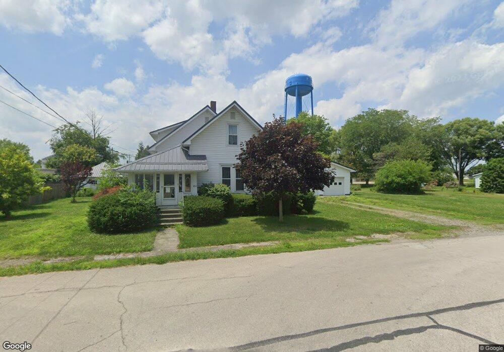
202 Griswold St Middle Point, OH 45863
Estimated Value: $144,000 - $157,000
4
Beds
2
Baths
1,530
Sq Ft
$98/Sq Ft
Est. Value
About This Home
This home is located at 202 Griswold St, Middle Point, OH 45863 and is currently estimated at $150,239, approximately $98 per square foot. 202 Griswold St is a home located in Van Wert County with nearby schools including Lincolnview Elementary School and Lincolnview Junior/Senior High School.
Ownership History
Date
Name
Owned For
Owner Type
Purchase Details
Closed on
Apr 10, 2024
Sold by
Odaffer Family Living Trust and Odaffer Mark
Bought by
Miller Jerry A and Miller Paula A
Current Estimated Value
Home Financials for this Owner
Home Financials are based on the most recent Mortgage that was taken out on this home.
Original Mortgage
$129,250
Outstanding Balance
$127,341
Interest Rate
6.94%
Mortgage Type
New Conventional
Estimated Equity
$22,898
Purchase Details
Closed on
May 3, 2013
Sold by
Daffer Albert L O and Daffer Trudy O
Bought by
Daffer Albert L O and Daffer Trudy O
Create a Home Valuation Report for This Property
The Home Valuation Report is an in-depth analysis detailing your home's value as well as a comparison with similar homes in the area
Purchase History
| Date | Buyer | Sale Price | Title Company |
|---|---|---|---|
| Miller Jerry A | $148,000 | None Listed On Document | |
| Daffer Albert L O | -- | Attorney |
Source: Public Records
Mortgage History
| Date | Status | Borrower | Loan Amount |
|---|---|---|---|
| Open | Miller Jerry A | $129,250 |
Source: Public Records
Tax History
| Year | Tax Paid | Tax Assessment Tax Assessment Total Assessment is a certain percentage of the fair market value that is determined by local assessors to be the total taxable value of land and additions on the property. | Land | Improvement |
|---|---|---|---|---|
| 2024 | $1,386 | $41,360 | $1,410 | $39,950 |
| 2023 | $1,375 | $41,360 | $1,410 | $39,950 |
| 2022 | $896 | $28,040 | $1,300 | $26,740 |
| 2021 | $901 | $28,040 | $1,300 | $26,740 |
| 2020 | $898 | $28,040 | $1,300 | $26,740 |
| 2019 | $673 | $23,790 | $1,300 | $22,490 |
| 2018 | $650 | $23,790 | $1,300 | $22,490 |
| 2017 | $648 | $23,790 | $1,300 | $22,490 |
| 2016 | $515 | $22,860 | $1,300 | $21,560 |
| 2015 | $508 | $22,860 | $1,300 | $21,560 |
| 2014 | $526 | $22,860 | $1,300 | $21,560 |
| 2013 | $619 | $22,860 | $1,300 | $21,560 |
Source: Public Records
Map
Nearby Homes
- 112 W Railroad St
- TBD Dog Creek Rd
- 19357 Church Rd
- 14998 Middle Point Rd
- 18906 Bebb St
- 15044 Main St
- 19059 Wittington St
- 10429 Ohio 66
- 537 / 539 Toomey
- 709 W 4th St
- 708 W 1st St
- 409 N Bredeick St
- 1109 Mendon Rd
- 1047 Mendon Rd
- TBD Mendon Rd
- 21092 St Rt 224
- 420 S Cass St
- 629 N Main St
- 702 N Main St
- 424 S Canal St
Your Personal Tour Guide
Ask me questions while you tour the home.