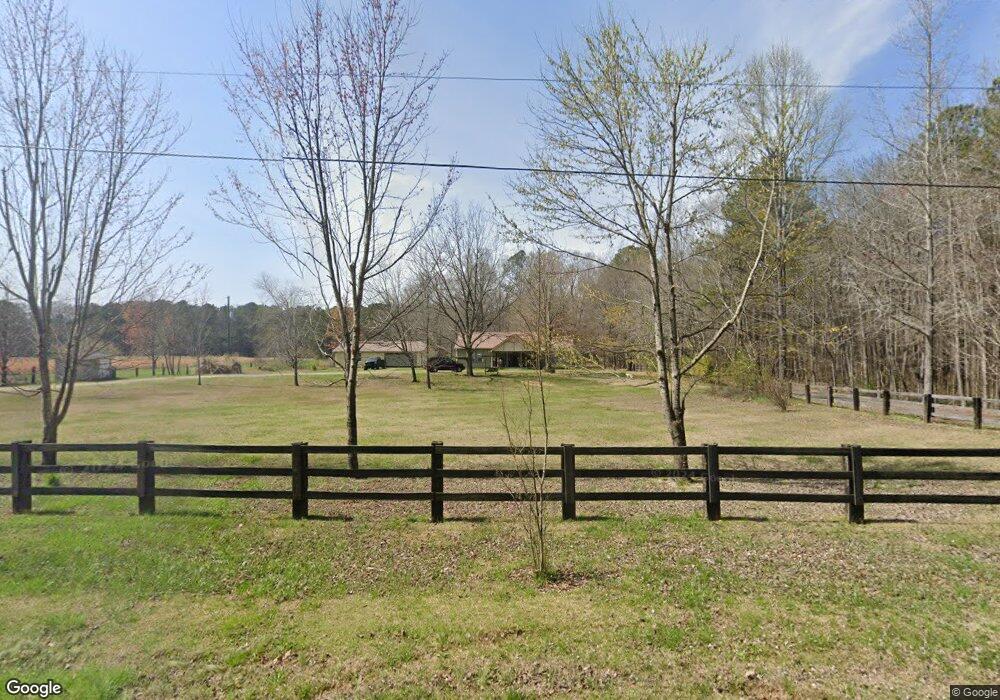
202 Hampton Rd Cedartown, GA 30125
Estimated Value: $459,000 - $474,000
3
Beds
2
Baths
2,116
Sq Ft
$221/Sq Ft
Est. Value
About This Home
This home is located at 202 Hampton Rd, Cedartown, GA 30125 and is currently estimated at $467,234, approximately $220 per square foot. 202 Hampton Rd is a home located in Polk County.
Ownership History
Date
Name
Owned For
Owner Type
Purchase Details
Closed on
May 14, 2021
Sold by
Raborg Ronald R
Bought by
Raborg Ronald R and Raborg Jill D
Current Estimated Value
Purchase Details
Closed on
Jul 14, 2017
Sold by
Martinez Juan R
Bought by
Raborg Ronald R
Home Financials for this Owner
Home Financials are based on the most recent Mortgage that was taken out on this home.
Original Mortgage
$255,375
Interest Rate
3.91%
Mortgage Type
VA
Purchase Details
Closed on
Jul 28, 2008
Sold by
Hutcheson Carole H
Bought by
Martinez Juan R and Martinez Angela K
Purchase Details
Closed on
Jul 17, 2006
Sold by
Hutcheson Robert S
Bought by
Woods Jackm
Purchase Details
Closed on
Feb 29, 1996
Sold by
Mcgoon Violet Etoy
Bought by
Hutcheson Carole H and Hutcheson Robert
Purchase Details
Closed on
Dec 6, 1967
Sold by
Runyan Pauline Mrs
Bought by
Mcgoon Mcgoon L and Mcgoon Violet
Purchase Details
Closed on
Jul 1, 1961
Bought by
Runyan Pauline Mrs
Create a Home Valuation Report for This Property
The Home Valuation Report is an in-depth analysis detailing your home's value as well as a comparison with similar homes in the area
Home Values in the Area
Average Home Value in this Area
Purchase History
| Date | Buyer | Sale Price | Title Company |
|---|---|---|---|
| Raborg Ronald R | -- | -- | |
| Raborg Ronald R | $250,000 | -- | |
| Martinez Juan R | $80,000 | -- | |
| Woods Jackm | -- | -- | |
| Hutcheson Carole H | -- | -- | |
| Mcgoon Mcgoon L | -- | -- | |
| Runyan Pauline Mrs | -- | -- |
Source: Public Records
Mortgage History
| Date | Status | Borrower | Loan Amount |
|---|---|---|---|
| Previous Owner | Raborg Ronald R | $255,375 |
Source: Public Records
Tax History Compared to Growth
Tax History
| Year | Tax Paid | Tax Assessment Tax Assessment Total Assessment is a certain percentage of the fair market value that is determined by local assessors to be the total taxable value of land and additions on the property. | Land | Improvement |
|---|---|---|---|---|
| 2024 | $3,108 | $150,688 | $26,846 | $123,842 |
| 2023 | $2,489 | $106,859 | $26,846 | $80,013 |
| 2022 | $2,016 | $86,943 | $17,897 | $69,046 |
| 2021 | $2,042 | $86,943 | $17,897 | $69,046 |
| 2020 | $2,046 | $86,943 | $17,897 | $69,046 |
| 2019 | $2,196 | $81,777 | $17,897 | $63,880 |
| 2018 | $2,210 | $80,193 | $17,897 | $62,296 |
| 2017 | $1,703 | $64,597 | $17,897 | $46,700 |
| 2016 | $1,664 | $63,142 | $16,443 | $46,700 |
| 2015 | $1,683 | $63,657 | $16,443 | $47,214 |
| 2014 | $1,695 | $63,657 | $16,443 | $47,214 |
Source: Public Records
Map
Nearby Homes
- 176 Runyon Loop
- 0 Runyon Loop Unit 10606366
- 0 Runyon Loop Unit 7650113
- 0 Everett Mtn Rd
- 1912 Hightower Rd
- 0 Hightower Rd Unit 10584768
- 0 Hightower Rd Unit 7633002
- 0 Hightower Rd Unit 10584778
- 0 Hightower Rd Unit 7632982
- 1838 Antioch Rd
- 160 Tate Rd
- 600 Grady Rd
- 470 Knight Rd
- 394 Knight Rd
- 247 Grady Rd
- 0 Youngs Farm Rd Unit 24829378
- 0 Buchanan Hwy Unit 10558945
- 4267 Buchanan Hwy
- 102 acres Youngs Farm Rd
- 45 York Cir
- 192 Hampton Rd
- 132 Hampton Rd
- 150 Hampton Rd
- 239 Hampton Rd
- 326 Hampton Rd
- 281 Hampton Rd
- 129 Hampton Rd
- 80 Hampton Rd
- 3244 Antioch Rd
- 257 Hampton Rd
- 70 Hampton Rd
- 382 Hampton Rd
- 355 Hampton Rd
- 40 Hampton Rd
- 3242 Antioch Rd
- 0 Hampton Rd Unit 3207227
- 0 Hampton Rd Unit 7616439
- 0 Hampton Rd Unit 4341555
- 0 Hampton Rd Unit 8437778
- 00 Hampton Rd