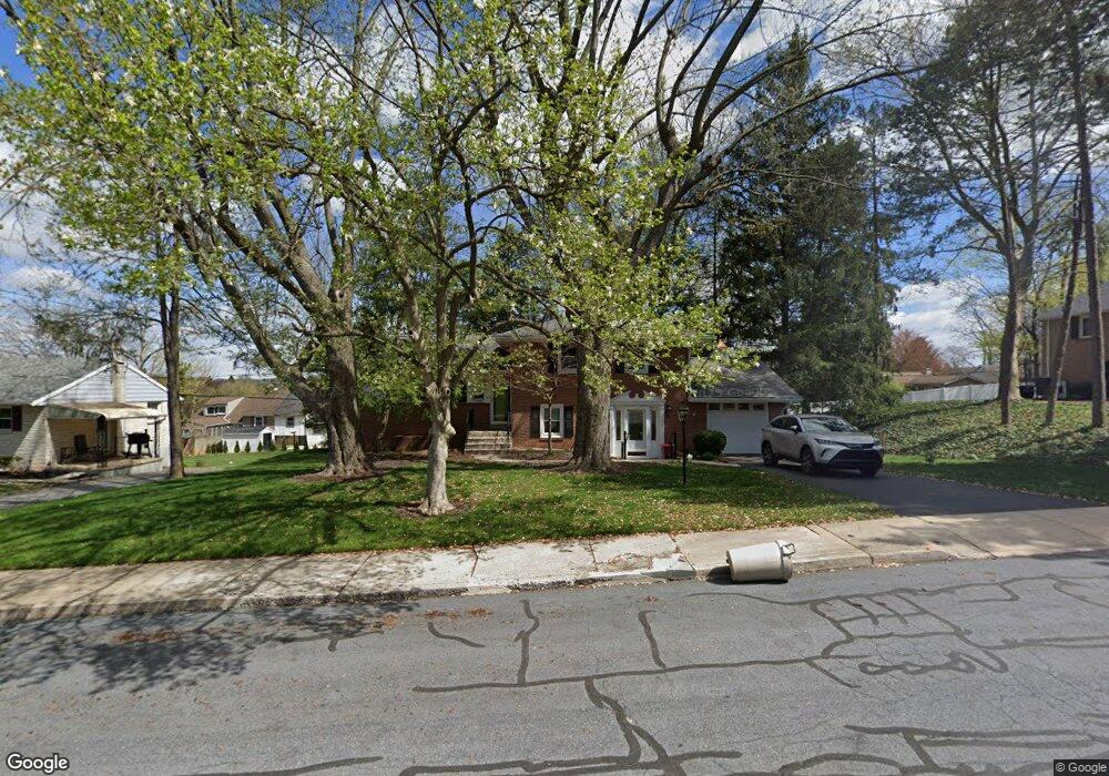
202 Hemlock Rd Ephrata, PA 17522
Estimated Value: $299,457 - $368,000
3
Beds
2
Baths
1,186
Sq Ft
$274/Sq Ft
Est. Value
About This Home
This home is located at 202 Hemlock Rd, Ephrata, PA 17522 and is currently estimated at $325,364, approximately $274 per square foot. 202 Hemlock Rd is a home located in Lancaster County with nearby schools including Highland Elementary School, Ephrata Intermediate School, and Ephrata Senior High School.
Ownership History
Date
Name
Owned For
Owner Type
Purchase Details
Closed on
Nov 5, 2025
Sold by
Rapp Sandra L
Bought by
Anderson Jacob and Falth Jennifer
Current Estimated Value
Home Financials for this Owner
Home Financials are based on the most recent Mortgage that was taken out on this home.
Original Mortgage
$29,600
Outstanding Balance
$29,600
Interest Rate
6.3%
Mortgage Type
New Conventional
Estimated Equity
$295,764
Purchase Details
Closed on
Aug 1, 2023
Sold by
Rapp Sandra L
Bought by
Rapp Sandra L
Create a Home Valuation Report for This Property
The Home Valuation Report is an in-depth analysis detailing your home's value as well as a comparison with similar homes in the area
Home Values in the Area
Average Home Value in this Area
Purchase History
| Date | Buyer | Sale Price | Title Company |
|---|---|---|---|
| Anderson Jacob | $370,000 | Regal Abstract | |
| Rapp Sandra L | -- | None Listed On Document |
Source: Public Records
Mortgage History
| Date | Status | Borrower | Loan Amount |
|---|---|---|---|
| Open | Anderson Jacob | $29,600 | |
| Open | Anderson Jacob | $358,900 |
Source: Public Records
Tax History Compared to Growth
Tax History
| Year | Tax Paid | Tax Assessment Tax Assessment Total Assessment is a certain percentage of the fair market value that is determined by local assessors to be the total taxable value of land and additions on the property. | Land | Improvement |
|---|---|---|---|---|
| 2025 | $3,295 | $137,400 | $46,300 | $91,100 |
| 2024 | $3,295 | $137,400 | $46,300 | $91,100 |
| 2023 | $3,214 | $137,400 | $46,300 | $91,100 |
| 2022 | $3,077 | $137,400 | $46,300 | $91,100 |
| 2021 | $3,012 | $137,400 | $46,300 | $91,100 |
| 2020 | $3,012 | $137,400 | $46,300 | $91,100 |
| 2019 | $2,971 | $137,400 | $46,300 | $91,100 |
| 2018 | $2,201 | $137,400 | $46,300 | $91,100 |
| 2017 | $3,393 | $128,200 | $45,800 | $82,400 |
| 2016 | $3,366 | $128,200 | $45,800 | $82,400 |
| 2015 | $744 | $128,200 | $45,800 | $82,400 |
| 2014 | $2,385 | $128,200 | $45,800 | $82,400 |
Source: Public Records
Map
Nearby Homes
- 212 Irene Ave
- 110 E Pine St
- 261 Linda Terrace
- 214 Linda Terrace
- 335 Lincoln Ave
- 308 Washington Ave
- 623 N State St
- 503 N State St
- 70 Brookfield Dr
- 224 Cherry St
- 346 Duke St
- 124 Washington Ave
- 144 Church Ave
- 432 E Main St
- 189 Ridge Ave
- 42 Gross St
- 146 Gregg Cir
- 147 Penn Ave
- 19 E Sunset Ave
- 11 E Sunset Ave