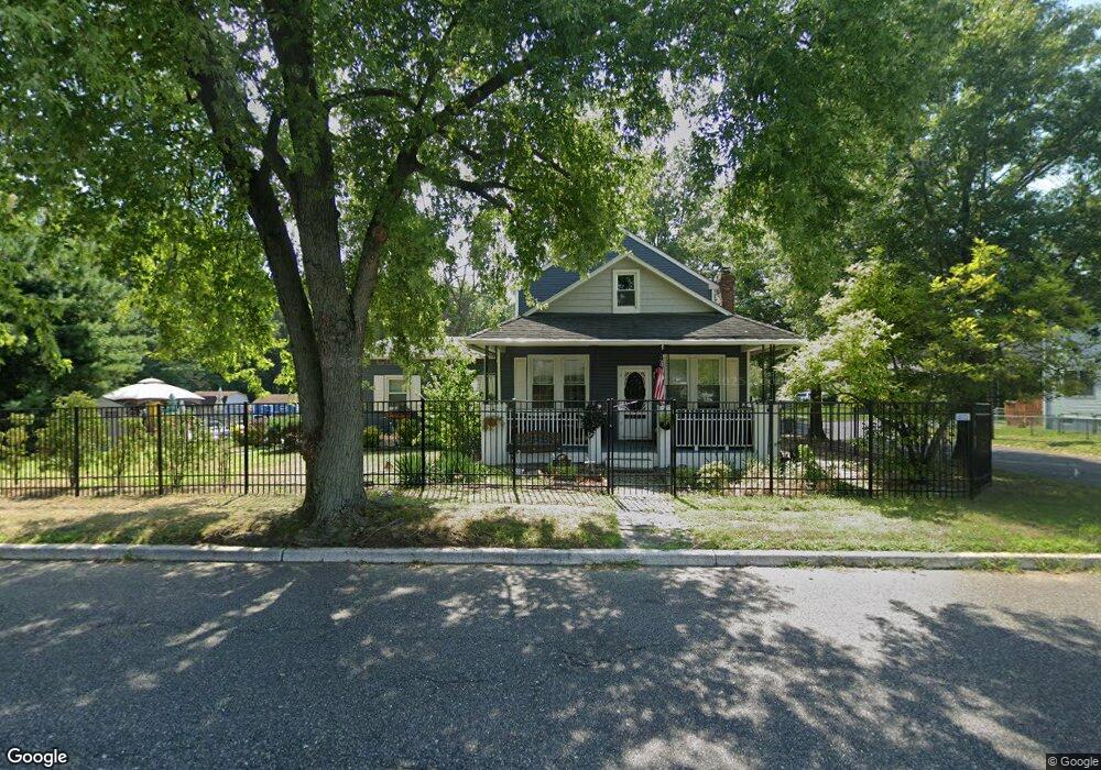
202 High St Maple Shade, NJ 08052
Estimated Value: $439,000 - $480,000
Studio
--
Bath
2,198
Sq Ft
$205/Sq Ft
Est. Value
About This Home
This home is located at 202 High St, Maple Shade, NJ 08052 and is currently estimated at $451,220, approximately $205 per square foot. 202 High St is a home located in Burlington County with nearby schools including Ralph J Steinhauer Elementary School, Maude M. Wilkins Elementary School, and Howard R Yocum School.
Ownership History
Date
Name
Owned For
Owner Type
Purchase Details
Closed on
May 31, 2002
Sold by
Streicher Steven and Streicher Karen T
Bought by
Kirk Michael F and Purcell Anna C
Current Estimated Value
Home Financials for this Owner
Home Financials are based on the most recent Mortgage that was taken out on this home.
Original Mortgage
$25,500
Interest Rate
6.36%
Mortgage Type
Stand Alone Second
Purchase Details
Closed on
Jul 28, 1999
Sold by
Pettine Angelina Jean
Bought by
Streicher Steven and Streicher Karen T
Home Financials for this Owner
Home Financials are based on the most recent Mortgage that was taken out on this home.
Original Mortgage
$85,000
Interest Rate
7.65%
Mortgage Type
Stand Alone First
Create a Home Valuation Report for This Property
The Home Valuation Report is an in-depth analysis detailing your home's value as well as a comparison with similar homes in the area
Home Values in the Area
Average Home Value in this Area
Purchase History
| Date | Buyer | Sale Price | Title Company |
|---|---|---|---|
| Kirk Michael F | $170,500 | Congress Title Corp | |
| Streicher Steven | $110,000 | -- |
Source: Public Records
Mortgage History
| Date | Status | Borrower | Loan Amount |
|---|---|---|---|
| Closed | Kirk Michael F | $25,500 | |
| Open | Kirk Michael F | $136,400 | |
| Previous Owner | Streicher Steven | $85,000 |
Source: Public Records
Tax History
| Year | Tax Paid | Tax Assessment Tax Assessment Total Assessment is a certain percentage of the fair market value that is determined by local assessors to be the total taxable value of land and additions on the property. | Land | Improvement |
|---|---|---|---|---|
| 2025 | $8,568 | $225,700 | $54,000 | $171,700 |
| 2024 | $8,319 | $225,700 | $54,000 | $171,700 |
| 2023 | $8,319 | $225,700 | $54,000 | $171,700 |
| 2022 | $8,191 | $225,700 | $54,000 | $171,700 |
| 2021 | $8,112 | $225,700 | $54,000 | $171,700 |
| 2020 | $8,134 | $225,700 | $54,000 | $171,700 |
| 2019 | $7,836 | $225,700 | $54,000 | $171,700 |
| 2018 | $7,701 | $225,700 | $54,000 | $171,700 |
| 2017 | $7,611 | $225,700 | $54,000 | $171,700 |
| 2016 | $7,498 | $225,700 | $54,000 | $171,700 |
| 2015 | $7,335 | $225,700 | $54,000 | $171,700 |
| 2014 | $7,112 | $225,700 | $54,000 | $171,700 |
Source: Public Records
Map
Nearby Homes
- 27 Indian Queen Ln
- 400 N Forklanding Rd
- 728 Haverford Ave
- 5 Exeter Place
- 712 E Woodlawn Ave
- 331 Collins Ln
- 207 E Park Ave
- 411 A3 Stiles Ave Unit A-3
- 411 C12 Stiles Ave Unit C-12
- 411 A2 Stiles Ave Unit A-2
- 2819 Haddonfield Rd
- 3444 New Jersey Ave
- 20 Kohlmyer Dr
- 21 Kohlmyer Dr
- 22 Theodore Ave
- 2414 Church Rd
- 18 Hamilton Ct
- 8661 Wyndam Rd
- 8315 Stockton Ave
- 8539 Bryn Mawr Ave
Your Personal Tour Guide
Ask me questions while you tour the home.