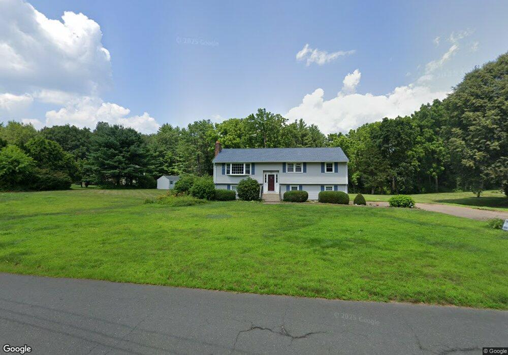
202 Holcomb St Simsbury, CT 06070
Estimated Value: $449,000 - $506,743
3
Beds
3
Baths
1,417
Sq Ft
$334/Sq Ft
Est. Value
About This Home
This home is located at 202 Holcomb St, Simsbury, CT 06070 and is currently estimated at $473,936, approximately $334 per square foot. 202 Holcomb St is a home located in Hartford County with nearby schools including Squadron Line School, Henry James Memorial School, and Simsbury High School.
Ownership History
Date
Name
Owned For
Owner Type
Purchase Details
Closed on
Jun 29, 2000
Sold by
Goerin Richard I
Bought by
Ritz Robert A and Ritz Jennifer L
Current Estimated Value
Purchase Details
Closed on
Jun 30, 1998
Sold by
Schoenfeld Eric and Schoenfeld Mary
Bought by
Goerin Richard
Purchase Details
Closed on
Aug 2, 1989
Sold by
Tofani Anthony
Bought by
Schoenfield Eric
Create a Home Valuation Report for This Property
The Home Valuation Report is an in-depth analysis detailing your home's value as well as a comparison with similar homes in the area
Home Values in the Area
Average Home Value in this Area
Purchase History
| Date | Buyer | Sale Price | Title Company |
|---|---|---|---|
| Ritz Robert A | $200,000 | -- | |
| Goerin Richard | $162,000 | -- | |
| Schoenfield Eric | $208,000 | -- |
Source: Public Records
Mortgage History
| Date | Status | Borrower | Loan Amount |
|---|---|---|---|
| Open | Schoenfield Eric | $84,500 | |
| Closed | Schoenfield Eric | $31,600 | |
| Open | Schoenfield Eric | $208,100 |
Source: Public Records
Tax History Compared to Growth
Tax History
| Year | Tax Paid | Tax Assessment Tax Assessment Total Assessment is a certain percentage of the fair market value that is determined by local assessors to be the total taxable value of land and additions on the property. | Land | Improvement |
|---|---|---|---|---|
| 2025 | $7,675 | $224,680 | $81,150 | $143,530 |
| 2024 | $7,484 | $224,680 | $81,150 | $143,530 |
| 2023 | $7,072 | $222,250 | $81,130 | $141,120 |
| 2022 | $7,017 | $181,640 | $88,150 | $93,490 |
| 2021 | $7,017 | $181,640 | $88,150 | $93,490 |
| 2020 | $6,737 | $181,640 | $88,150 | $93,490 |
| 2019 | $6,779 | $181,640 | $88,150 | $93,490 |
| 2018 | $6,828 | $181,640 | $88,150 | $93,490 |
| 2017 | $6,523 | $168,290 | $85,910 | $82,380 |
| 2016 | $6,247 | $168,290 | $85,910 | $82,380 |
| 2015 | $6,247 | $168,290 | $85,910 | $82,380 |
| 2014 | $6,250 | $168,290 | $85,910 | $82,380 |
Source: Public Records
Map
Nearby Homes
- 16 Berkshire Way
- 33 Whitman Dr
- 21 Berkshire Way
- 7 Knollwood Cir
- 27 Brettonwood Dr Unit 27
- 324 Firetown Rd
- 14 Brettonwood Dr
- 12 Gretel Ln
- 14 Gordon St
- 51 Canton Rd
- 5 Anja Dr
- 45 Hoskins Rd
- 30 Holcomb Ridge
- 7R Stonewall Dr
- 19 Elaine Dr
- 16 Whytewood Ln
- 26 Winterset Ln
- 55 Musket Trail
- 14 Hunt Glen Dr Unit 14
- 31 Hunt Glen Dr