202 Hudson Rd Harrodsburg, KY 40330
Estimated Value: $372,000 - $713,981
4
Beds
2
Baths
2,400
Sq Ft
$212/Sq Ft
Est. Value
About This Home
This home is located at 202 Hudson Rd, Harrodsburg, KY 40330 and is currently estimated at $507,660, approximately $211 per square foot. 202 Hudson Rd is a home located in Mercer County with nearby schools including Mercer County Elementary School, Mercer County Intermediate School, and King Middle School.
Ownership History
Date
Name
Owned For
Owner Type
Purchase Details
Closed on
Jul 11, 2025
Sold by
Hudson Road Farm Llc
Bought by
Altus Mercer Farm Llc
Current Estimated Value
Purchase Details
Closed on
Jul 20, 2021
Sold by
Ssta Enterprises Llc
Bought by
Wg Agriculture Llc
Home Financials for this Owner
Home Financials are based on the most recent Mortgage that was taken out on this home.
Original Mortgage
$1,136,919
Interest Rate
2.22%
Purchase Details
Closed on
Jun 11, 2021
Sold by
Mccaw Candace D
Bought by
Suxier Thomas A and Suxier Sylvia I
Home Financials for this Owner
Home Financials are based on the most recent Mortgage that was taken out on this home.
Original Mortgage
$1,136,919
Interest Rate
2.22%
Purchase Details
Closed on
Oct 17, 2011
Sold by
Mccaw Candace D and Mccaw
Bought by
Ssta Enterprises Llc
Create a Home Valuation Report for This Property
The Home Valuation Report is an in-depth analysis detailing your home's value as well as a comparison with similar homes in the area
Home Values in the Area
Average Home Value in this Area
Purchase History
| Date | Buyer | Sale Price | Title Company |
|---|---|---|---|
| Altus Mercer Farm Llc | $1,500,000 | None Listed On Document | |
| Wg Agriculture Llc | $984,340 | None Available | |
| Suxier Thomas A | -- | None Available | |
| Ssta Enterprises Llc | -- | -- |
Source: Public Records
Mortgage History
| Date | Status | Borrower | Loan Amount |
|---|---|---|---|
| Previous Owner | Wg Agriculture Llc | $1,136,919 |
Source: Public Records
Tax History Compared to Growth
Tax History
| Year | Tax Paid | Tax Assessment Tax Assessment Total Assessment is a certain percentage of the fair market value that is determined by local assessors to be the total taxable value of land and additions on the property. | Land | Improvement |
|---|---|---|---|---|
| 2024 | $3,079 | $257,644 | $5,144 | $252,500 |
| 2023 | $3,107 | $257,644 | $0 | $0 |
| 2022 | $5,513 | $466,685 | $0 | $0 |
| 2021 | $5,426 | $456,370 | $0 | $0 |
| 2020 | $5,403 | $456,370 | $74,046 | $382,324 |
| 2019 | $5,486 | $456,370 | $74,046 | $382,324 |
| 2018 | $5,362 | $456,370 | $0 | $0 |
| 2017 | $5,180 | $456,370 | $0 | $0 |
| 2016 | $5,064 | $454,575 | $0 | $0 |
| 2015 | $4,923 | $454,575 | $58,499 | $396,076 |
| 2014 | $4,923 | $454,575 | $0 | $0 |
Source: Public Records
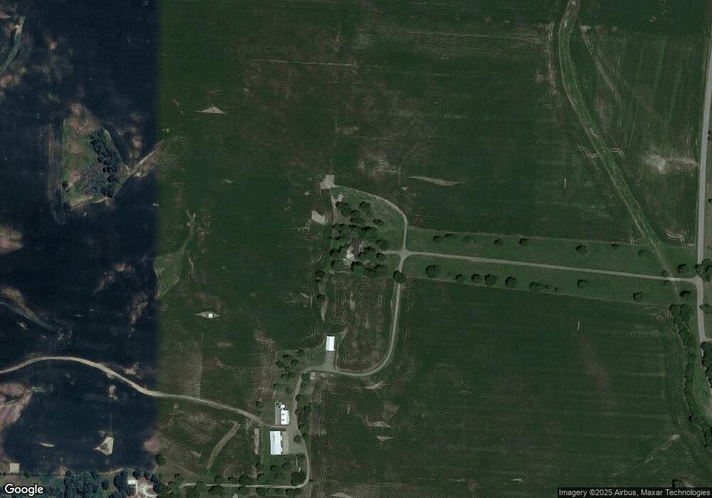
Map
Nearby Homes
- 280 Talmage Mayo Rd
- 125 Talmage-Mayo Rd
- 241 Cottonwood St
- 110 Gracelynn Cir
- 127 Man-O-war Dr
- 151 Man-O-war Dr
- 3062 Louisville Rd
- 1111 Jackson Pike
- 143 Providence Rd
- 110 Station Dr
- 935 Keenon Rd
- 1047 Jackson Pike
- 1256 Jackson Pike
- 420 Cole Ln
- 464 Haddix St
- Tract 3 Cole Rd
- Tract 3a Cole Rd
- 341 Palomino Dr
- 301 Palomino Dr
- 244 Claire de Lune
- 221 Hudson Rd
- 360 Hudson Rd
- 2690 Louisville Rd
- 201 Hudson Rd
- 2784 Louisville Rd
- 155 Hudson Rd
- 393 Hudson Rd
- 420 Hudson Rd
- 2779 Louisville Rd
- 2565 Louisville Rd
- 50 Mundys Landing Rd
- 10 Mundys Landing Rd
- 149 Dunn Ln
- 2406 Louisville Rd
- 2327 Harrodsburg-Salvisa Rd
- 252 Talmage Mayo Rd
- 238 Talmage Mayo Rd
- 256 Talmage Mayo Rd
- 218 Talmage Mayo Rd
- 262 Talmage Mayo Rd