202 Hudson Rd Lagrange, GA 30240
Estimated Value: $544,000 - $1,933,109
4
Beds
4
Baths
4,167
Sq Ft
$297/Sq Ft
Est. Value
About This Home
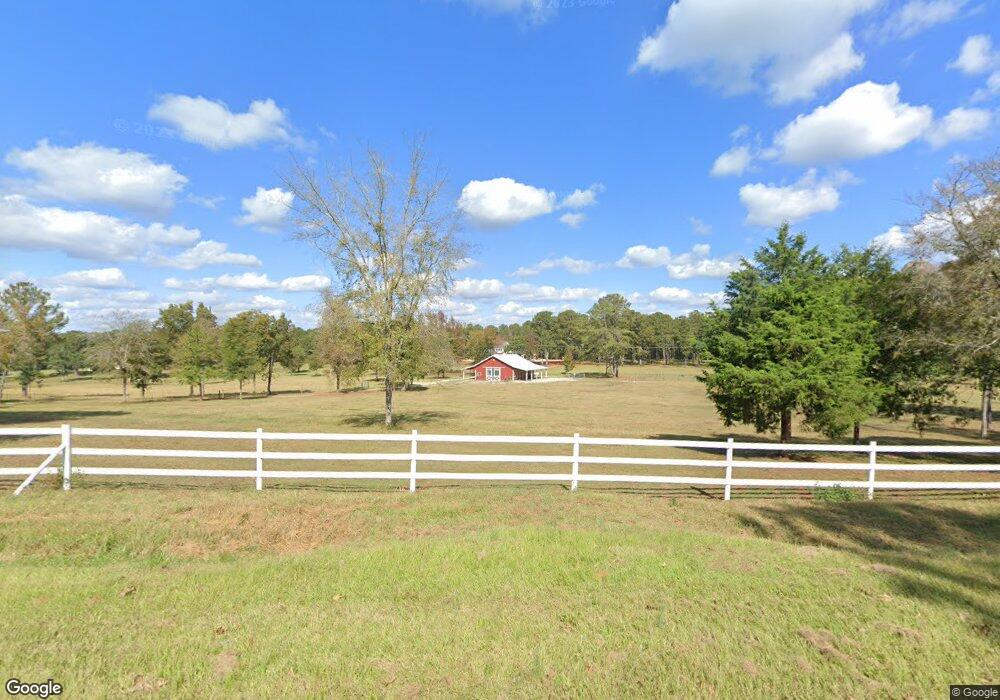
This home is located at 202 Hudson Rd, Lagrange, GA 30240 and is currently estimated at $1,238,555, approximately $297 per square foot. 202 Hudson Rd is a home with nearby schools including Long Cane Elementary School, Berta Weathersbee Elementary School, and Whitesville Road Elementary School.
Ownership History
Date
Name
Owned For
Owner Type
Purchase Details
Closed on
Feb 7, 2019
Sold by
Hudson Harris Ellen
Bought by
Cochran Matthew and Cochran Ruth
Current Estimated Value
Purchase Details
Closed on
Nov 27, 2018
Sold by
Synovus Trust Co Trustee
Bought by
Hudson Harris Ellen
Purchase Details
Closed on
Aug 12, 1998
Sold by
Callaway Fuller
Bought by
Trust U/W Fuller E Callaway Jr
Purchase Details
Closed on
Mar 11, 1975
Sold by
Thrower Samford E Etal
Bought by
Callaway Fuller
Purchase Details
Closed on
Dec 20, 1974
Sold by
Thrower Samford E Etal
Bought by
Thrower Samford E Etal
Purchase Details
Closed on
Mar 2, 1970
Sold by
Thrower Samford E
Bought by
Thrower Samford E Etal
Create a Home Valuation Report for This Property
The Home Valuation Report is an in-depth analysis detailing your home's value as well as a comparison with similar homes in the area
Purchase History
| Date | Buyer | Sale Price | Title Company |
|---|---|---|---|
| Cochran Matthew | $386,309 | -- | |
| Hudson Harris Ellen | -- | -- | |
| Trust U/W Fuller E Callaway Jr | -- | -- | |
| Callaway Fuller | -- | -- | |
| Thrower Samford E Etal | $276,000 | -- | |
| Thrower Samford E Etal | -- | -- |
Source: Public Records
Tax History
| Year | Tax Paid | Tax Assessment Tax Assessment Total Assessment is a certain percentage of the fair market value that is determined by local assessors to be the total taxable value of land and additions on the property. | Land | Improvement |
|---|---|---|---|---|
| 2025 | $14,882 | $726,040 | $225,360 | $500,680 |
| 2024 | $11,686 | $612,160 | $224,960 | $387,200 |
| 2023 | $4,423 | $347,040 | $224,960 | $122,080 |
| 2022 | $4,495 | $347,040 | $224,960 | $122,080 |
| 2021 | $4,133 | $305,480 | $206,320 | $99,160 |
| 2020 | $3,008 | $269,280 | $206,320 | $62,960 |
| 2019 | $4,695 | $155,680 | $155,680 | $0 |
| 2018 | $5,370 | $178,040 | $178,040 | $0 |
| 2017 | $5,370 | $178,040 | $178,040 | $0 |
| 2016 | $5,370 | $178,066 | $178,066 | $0 |
| 2015 | $5,379 | $178,066 | $178,066 | $0 |
| 2014 | $5,388 | $178,066 | $178,066 | $0 |
| 2013 | -- | $178,066 | $178,066 | $0 |
Source: Public Records
Map
Nearby Homes
- 640 Hudson Rd
- 266 Glass Bridge Rd
- 105 Redwood Dr
- 0 Glass Bridge Rd Unit 10679358
- 22 Freeman Rd
- 119 Plymouth Dr
- 808 S Fling Rd
- 112 Foxdale Dr
- 113 Colonial Ct Unit 100
- 102 Bridgewater Dr
- 124 Lincoln Ln
- 311 Cumberland Dr
- 2239 Pegasus Pkwy
- 101 Ivy Springs Dr
- 509 Connie Dr
- 107 Waters Edge Dr
- 0 Bradfield Dr Unit 10568803
- 107 Sweetwater Ct
- 427 Fling Rd
- 8 Horace Carter Rd
- 284 Hudson Rd
- 336 Hudson Rd
- 261 Hudson Rd
- 335 Hudson Rd
- 121 Hudson Rd
- 334 Hudson Rd
- 6100 Old West Point Rd
- 78 Hudson Rd
- 6144 Old West Point Rd
- 420 Hudson Rd
- 68 Hudson Rd
- 56 Hudson Rd
- 5898 Old West Point Rd
- 44 Hudson Rd
- 30 Hudson Rd
- 485 Hudson Rd
- 16 Hudson Rd
- 6314 Old West Point Rd
- 6010 Old West Point Rd
- 6278 Old West Point Rd
Your Personal Tour Guide
Ask me questions while you tour the home.