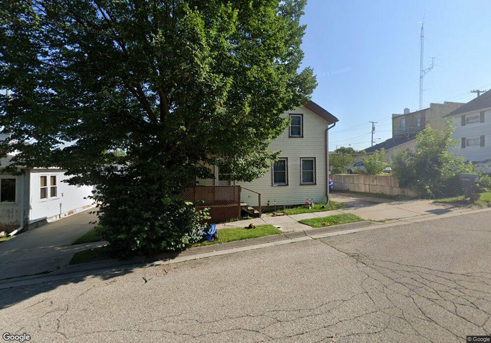
202 Hyland St Watertown, WI 53094
Estimated Value: $129,000 - $244,000
4
Beds
2
Baths
1,229
Sq Ft
$140/Sq Ft
Est. Value
About This Home
This home is located at 202 Hyland St, Watertown, WI 53094 and is currently estimated at $172,263, approximately $140 per square foot. 202 Hyland St is a home located in Jefferson County with nearby schools including Watertown High School, eCampus Academy Charter School, and Trinity-St. Luke's Lutheran Elementary School.
Ownership History
Date
Name
Owned For
Owner Type
Purchase Details
Closed on
Dec 12, 2024
Sold by
R & H Rental Llc
Bought by
Saldivar Properties Llc
Current Estimated Value
Purchase Details
Closed on
Feb 22, 2017
Sold by
Hinojosa Hector
Bought by
R & H Rental Llc
Home Financials for this Owner
Home Financials are based on the most recent Mortgage that was taken out on this home.
Original Mortgage
$407,700
Interest Rate
4.19%
Mortgage Type
Credit Line Revolving
Create a Home Valuation Report for This Property
The Home Valuation Report is an in-depth analysis detailing your home's value as well as a comparison with similar homes in the area
Home Values in the Area
Average Home Value in this Area
Purchase History
| Date | Buyer | Sale Price | Title Company |
|---|---|---|---|
| Saldivar Properties Llc | $100,000 | None Listed On Document | |
| R & H Rental Llc | -- | None Available |
Source: Public Records
Mortgage History
| Date | Status | Borrower | Loan Amount |
|---|---|---|---|
| Previous Owner | R & H Rental Llc | $407,700 |
Source: Public Records
Tax History Compared to Growth
Tax History
| Year | Tax Paid | Tax Assessment Tax Assessment Total Assessment is a certain percentage of the fair market value that is determined by local assessors to be the total taxable value of land and additions on the property. | Land | Improvement |
|---|---|---|---|---|
| 2024 | $2,011 | $136,800 | $23,800 | $113,000 |
| 2023 | $1,933 | $110,700 | $19,800 | $90,900 |
| 2022 | $1,939 | $110,700 | $19,800 | $90,900 |
| 2021 | $2,078 | $82,500 | $18,000 | $64,500 |
| 2020 | $2,055 | $82,500 | $18,000 | $64,500 |
| 2019 | $2,007 | $82,500 | $18,000 | $64,500 |
| 2018 | $1,952 | $82,500 | $18,000 | $64,500 |
| 2017 | $1,854 | $82,500 | $18,000 | $64,500 |
| 2016 | $1,831 | $82,500 | $18,000 | $64,500 |
| 2015 | $1,808 | $82,500 | $18,000 | $64,500 |
| 2014 | $1,833 | $82,500 | $18,000 | $64,500 |
| 2013 | $2,553 | $82,500 | $18,000 | $64,500 |
Source: Public Records
Map
Nearby Homes
- 913 S 3rd St
- 1215 Utah St
- 1301 Utah St
- 1313 Utah St
- 901 S 8th St
- 601 S 6th St
- 406 S 3rd St
- 419 S Montgomery St
- 1314 Waldron St
- 414 S Montgomery St
- 1418 S 9th St
- 411 S 7th St
- 709 S 10th St
- 1330 S 10th St
- 131 Cedar Ct
- The Saybrook Plan at Rock River Ridge
- The Atwater Plan at Rock River Ridge
- The Hudson Plan at Rock River Ridge
- The Coral Plan at Rock River Ridge
- The Drake Plan at Rock River Ridge