Estimated Value: $67,788 - $364,000
3
Beds
1
Bath
1,779
Sq Ft
$122/Sq Ft
Est. Value
About This Home
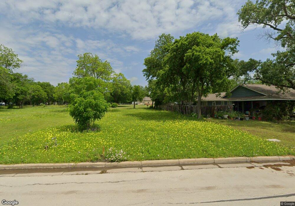
This home is located at 202 Jackson Cir, Wylie, TX 75098 and is currently estimated at $216,947, approximately $121 per square foot. 202 Jackson Cir is a home located in Collin County with nearby schools including R F Hartman Elementary School, AB Harrison Intermediate School, and Grady Burnett J High School.
Ownership History
Date
Name
Owned For
Owner Type
Purchase Details
Closed on
Feb 22, 2017
Sold by
Robinson Shelly J
Bought by
F O Birmingham Memorial Land Trust
Current Estimated Value
Purchase Details
Closed on
Apr 10, 2014
Sold by
Prather Joy
Bought by
Robinson Shelly L
Purchase Details
Closed on
May 12, 2000
Sold by
Wallace Randall and Wallace Audrey
Bought by
Prather Joy
Purchase Details
Closed on
Oct 8, 1999
Sold by
Hutchins Joel B and Hutchins Amy D
Bought by
Wallace Randall and Wallace Audrey
Home Financials for this Owner
Home Financials are based on the most recent Mortgage that was taken out on this home.
Original Mortgage
$55,800
Interest Rate
7.86%
Purchase Details
Closed on
Aug 31, 1995
Sold by
Gray Dovie and Gray Dovie Lajune
Bought by
Hutchins Joel B and Hutchins Amy D
Home Financials for this Owner
Home Financials are based on the most recent Mortgage that was taken out on this home.
Original Mortgage
$16,000
Interest Rate
7.76%
Mortgage Type
Seller Take Back
Create a Home Valuation Report for This Property
The Home Valuation Report is an in-depth analysis detailing your home's value as well as a comparison with similar homes in the area
Home Values in the Area
Average Home Value in this Area
Purchase History
| Date | Buyer | Sale Price | Title Company |
|---|---|---|---|
| F O Birmingham Memorial Land Trust | -- | Lawyers Title | |
| Robinson Shelly L | -- | None Available | |
| Prather Joy | -- | -- | |
| Wallace Randall | -- | Commonwealth Land Title Co | |
| Hutchins Joel B | -- | Commonwealth Land Title Co |
Source: Public Records
Mortgage History
| Date | Status | Borrower | Loan Amount |
|---|---|---|---|
| Previous Owner | Wallace Randall | $55,800 | |
| Previous Owner | Hutchins Joel B | $16,000 |
Source: Public Records
Tax History Compared to Growth
Tax History
| Year | Tax Paid | Tax Assessment Tax Assessment Total Assessment is a certain percentage of the fair market value that is determined by local assessors to be the total taxable value of land and additions on the property. | Land | Improvement |
|---|---|---|---|---|
| 2025 | $1,466 | $89,100 | $94,500 | -- |
| 2024 | $1,466 | $74,250 | $74,250 | -- |
| 2023 | $1,466 | $74,250 | $74,250 | $0 |
| 2022 | $1,333 | $60,750 | $60,750 | $0 |
| 2021 | $1,429 | $60,750 | $60,750 | $0 |
| 2020 | $1,173 | $47,250 | $47,250 | $0 |
| 2019 | $1,242 | $47,250 | $47,250 | $0 |
| 2018 | $1,272 | $47,250 | $47,250 | $0 |
| 2017 | $1,091 | $40,500 | $40,500 | $0 |
| 2016 | $2,700 | $97,169 | $16,200 | $80,969 |
| 2015 | $1,506 | $95,365 | $16,200 | $79,165 |
Source: Public Records
Map
Nearby Homes
- 702 S Ballard Ave
- 416 S 1st St
- 804 Memorial Dr
- 903 Mardi Gras Ln
- 307 Memorial Dr
- 600 Valentine Ln
- 406 Willow Way
- 329 S 2nd St
- 401 Willow Way
- 603 Valentine Ln
- 300 S Cottonbelt Ave Unit 3A
- 407 Stoneybrook Dr
- 217 Cloudcroft Dr
- 612 Willow Way
- 327 S 4th St
- 205 S Cottonbelt Ave
- 1306 Angel Fire Dr
- 301 S 3rd St
- 414 Briarwood Dr
- 416 Dogwood Dr
- 710 S Jackson Ave
- 204 Jackson Cir
- 213 Citizens Ave
- 203 Citizens Ave
- 700 S Jackson Ave
- 205 Citizens Ave
- 208 Stone Rd
- 211 Citizens Ave
- 711 S Jackson Ave
- 709 S Jackson Ave
- 117 Jackson Cir
- 713 S Jackson Ave
- 707 S Jackson Ave
- 705 S Jackson Ave
- 115 Jackson Cir
- 703 S Jackson Ave
- 210 W Kirby St
- 212 W Kirby St
- 210 W Kirby St Unit 212
- 701 S Birmingham St