202 Jake Ln Hampshire, IL 60140
Estimated Value: $366,000 - $391,000
3
Beds
3
Baths
1,824
Sq Ft
$207/Sq Ft
Est. Value
About This Home
This home is located at 202 Jake Ln, Hampshire, IL 60140 and is currently estimated at $376,850, approximately $206 per square foot. 202 Jake Ln is a home located in Kane County with nearby schools including Hampshire Elementary School, Hampshire Middle School, and Hampshire High School.
Ownership History
Date
Name
Owned For
Owner Type
Purchase Details
Closed on
Nov 2, 2016
Sold by
Hegendom Edward C and Hegendom Katherine M
Bought by
Hagendron Edward C and Hagendron Katherine M
Current Estimated Value
Create a Home Valuation Report for This Property
The Home Valuation Report is an in-depth analysis detailing your home's value as well as a comparison with similar homes in the area
Home Values in the Area
Average Home Value in this Area
Purchase History
| Date | Buyer | Sale Price | Title Company |
|---|---|---|---|
| Hagendron Edward C | -- | None Available |
Source: Public Records
Tax History Compared to Growth
Tax History
| Year | Tax Paid | Tax Assessment Tax Assessment Total Assessment is a certain percentage of the fair market value that is determined by local assessors to be the total taxable value of land and additions on the property. | Land | Improvement |
|---|---|---|---|---|
| 2024 | $7,165 | $105,754 | $25,917 | $79,837 |
| 2023 | $6,823 | $95,128 | $23,313 | $71,815 |
| 2022 | $6,540 | $87,425 | $21,425 | $66,000 |
| 2021 | $6,249 | $82,943 | $20,210 | $62,733 |
| 2020 | $6,144 | $80,676 | $19,658 | $61,018 |
| 2019 | $6,069 | $78,038 | $19,015 | $59,023 |
| 2018 | $5,919 | $73,732 | $17,966 | $55,766 |
| 2017 | $5,737 | $70,814 | $17,255 | $53,559 |
| 2016 | $5,626 | $66,567 | $16,220 | $50,347 |
| 2015 | -- | $61,871 | $15,076 | $46,795 |
| 2014 | -- | $59,831 | $14,579 | $45,252 |
| 2013 | -- | $63,657 | $15,511 | $48,146 |
Source: Public Records
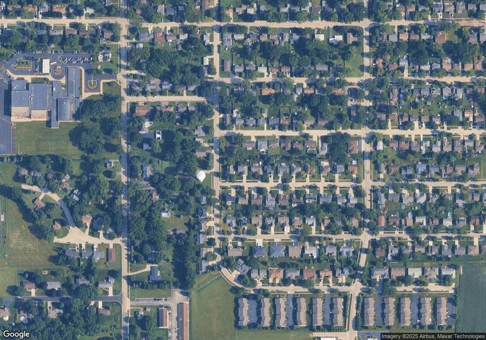
Map
Nearby Homes
- 704 S State St
- 895 S State St
- 318 Old Mill Ln
- 190 Grove Ave
- 263 E Jackson Ave
- 120 Jack Dylan Dr
- 862 Briar Glen Ct
- 804 Briar Glen Ct
- 820 Briar Glen Ct
- LOT 37 W Oak Knoll Dr
- 125 Mill Ave
- 602 Woodside Terrace
- 730 Bruce Dr
- 1655 Windsor Rd
- 431 Patricia Ln
- 808 James Dr
- 720 James Dr
- Lot 0 N State St
- 286 Wild Prairie Pointe
- 284 Wild Prairie Pointe