202 Keith Dr Unit 7-D Forsyth, GA 31029
Estimated Value: $112,000 - $203,000
3
Beds
2
Baths
1,320
Sq Ft
$130/Sq Ft
Est. Value
About This Home
This home is located at 202 Keith Dr Unit 7-D, Forsyth, GA 31029 and is currently estimated at $171,573, approximately $129 per square foot. 202 Keith Dr Unit 7-D is a home located in Monroe County with nearby schools including Katherine B. Sutton Elementary School and Mary Persons High School.
Ownership History
Date
Name
Owned For
Owner Type
Purchase Details
Closed on
May 2, 2013
Sold by
Cannon Ruby G
Bought by
Kudu Properties Llc
Current Estimated Value
Purchase Details
Closed on
Mar 29, 2013
Sold by
Sec Of Veterans Affa
Bought by
Cannon Ruby G
Purchase Details
Closed on
Jun 5, 2012
Sold by
Bank Of America
Bought by
Sec Of Veterans Affairs
Purchase Details
Closed on
Nov 3, 1997
Sold by
Betsy-Lynn Inc
Bought by
Rutherford Marvin
Purchase Details
Closed on
May 30, 1997
Sold by
Betsy-Lynn Inc
Bought by
Rutherford Marvin
Create a Home Valuation Report for This Property
The Home Valuation Report is an in-depth analysis detailing your home's value as well as a comparison with similar homes in the area
Home Values in the Area
Average Home Value in this Area
Purchase History
| Date | Buyer | Sale Price | Title Company |
|---|---|---|---|
| Kudu Properties Llc | -- | -- | |
| Cannon Ruby G | $36,000 | -- | |
| Sec Of Veterans Affairs | $61,691 | -- | |
| Bank Of America | $61,691 | -- | |
| Rutherford Marvin | -- | -- | |
| Rutherford Marvin | $7,500 | -- |
Source: Public Records
Tax History Compared to Growth
Tax History
| Year | Tax Paid | Tax Assessment Tax Assessment Total Assessment is a certain percentage of the fair market value that is determined by local assessors to be the total taxable value of land and additions on the property. | Land | Improvement |
|---|---|---|---|---|
| 2024 | $947 | $33,640 | $11,480 | $22,160 |
| 2023 | $949 | $33,640 | $11,480 | $22,160 |
| 2022 | $911 | $33,640 | $11,480 | $22,160 |
| 2021 | $943 | $33,640 | $11,480 | $22,160 |
| 2020 | $967 | $33,640 | $11,480 | $22,160 |
| 2019 | $974 | $33,640 | $11,480 | $22,160 |
| 2018 | $977 | $33,640 | $11,480 | $22,160 |
| 2017 | $978 | $33,640 | $11,480 | $22,160 |
| 2016 | $930 | $33,640 | $11,480 | $22,160 |
| 2015 | $881 | $33,640 | $11,480 | $22,160 |
| 2014 | $364 | $33,640 | $11,480 | $22,160 |
Source: Public Records
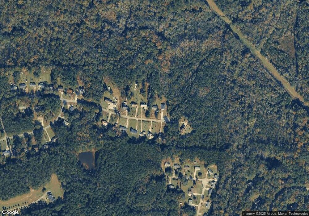
Map
Nearby Homes
- 4631 Capulet Ct Unit 331
- 4631 Capulet Ct
- 47 Ensign Rd
- 24 George St
- 81 Langston Ave
- 5343 Felles Way
- 5357 Felles Way Unit 378
- 3487 Georgia 42
- 3271 Georgia 42
- 3471 Georgia 42
- 5407 Felles Way Unit 356
- 5399 Felles Way Unit 358
- 5399 Felles Way
- 225 N Indian Springs Dr
- 397 Ensign Rd
- 5393 Felles Way Unit 359
- 5387 Felles Way
- 5387 Felles Way Unit 360
- 29 Deer Run
- 200 Indian Springs Dr