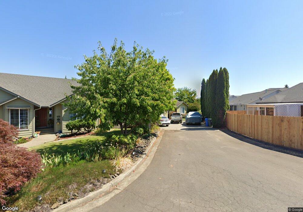
202 Kit Ln Sutherlin, OR 97479
Estimated Value: $361,639 - $436,000
3
Beds
2
Baths
1,420
Sq Ft
$285/Sq Ft
Est. Value
About This Home
This home is located at 202 Kit Ln, Sutherlin, OR 97479 and is currently estimated at $404,660, approximately $284 per square foot. 202 Kit Ln is a home located in Douglas County with nearby schools including East Sutherlin Primary School, West Sutherlin Intermediate School, and Sutherlin Middle School.
Ownership History
Date
Name
Owned For
Owner Type
Purchase Details
Closed on
Jun 22, 2016
Sold by
Knoll Grotting Kala Z and Grotting Josh L
Bought by
Faraghan Geoffrey T
Current Estimated Value
Purchase Details
Closed on
Jun 26, 2006
Sold by
Amos Elbert Layne
Bought by
Knoll Grotting Kala Z and Grotting Josh L
Home Financials for this Owner
Home Financials are based on the most recent Mortgage that was taken out on this home.
Original Mortgage
$181,125
Interest Rate
6.55%
Mortgage Type
Fannie Mae Freddie Mac
Create a Home Valuation Report for This Property
The Home Valuation Report is an in-depth analysis detailing your home's value as well as a comparison with similar homes in the area
Home Values in the Area
Average Home Value in this Area
Purchase History
| Date | Buyer | Sale Price | Title Company |
|---|---|---|---|
| Faraghan Geoffrey T | $216,500 | First American Title | |
| Knoll Grotting Kala Z | $241,500 | Ticor Title |
Source: Public Records
Mortgage History
| Date | Status | Borrower | Loan Amount |
|---|---|---|---|
| Previous Owner | Knoll Grotting Kala Z | $181,125 |
Source: Public Records
Tax History Compared to Growth
Tax History
| Year | Tax Paid | Tax Assessment Tax Assessment Total Assessment is a certain percentage of the fair market value that is determined by local assessors to be the total taxable value of land and additions on the property. | Land | Improvement |
|---|---|---|---|---|
| 2024 | $2,588 | $216,367 | -- | -- |
| 2023 | $2,514 | $210,066 | $0 | $0 |
| 2022 | $2,442 | $203,948 | $0 | $0 |
| 2021 | $2,372 | $198,008 | $0 | $0 |
| 2020 | $2,302 | $192,241 | $0 | $0 |
| 2019 | $2,236 | $186,642 | $0 | $0 |
| 2018 | $2,170 | $181,206 | $0 | $0 |
| 2017 | $2,224 | $175,929 | $0 | $0 |
| 2016 | $2,159 | $170,805 | $0 | $0 |
| 2015 | $2,097 | $165,831 | $0 | $0 |
| 2014 | $2,034 | $161,001 | $0 | $0 |
| 2013 | -- | $156,312 | $0 | $0 |
Source: Public Records
Map
Nearby Homes
- 307 Cambridge Dr
- 122 Lilly Ct
- 101 Frontier Ct
- 2730 Golfview Ave
- 178 Dovetail Ln
- 910 Swallow Ave
- 149 Coles Valley St
- 126 Coles Valley St
- 154 Coles Valley St
- 135 Elkton St
- 832 Sand Pines Ave
- 702 Divot Loop
- 336 Schudeiske Rd
- 881 Medina Ave
- 890 Durham Ave
- 420 Backwater Loop
- 1688 W Central Ave
- 181 SW Hutchins St
- 1716 Scardi Blvd Unit 174
- 0 Dakota St Unit B 500248401