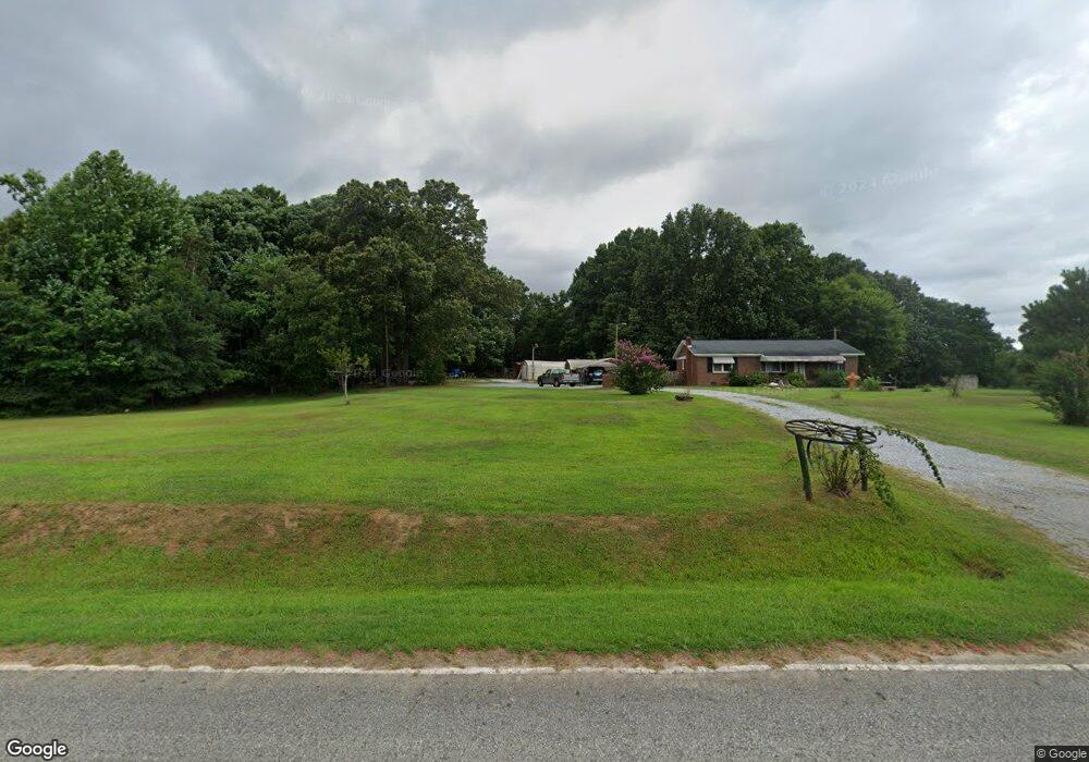
202 Langston Rd Clinton, SC 29325
Estimated Value: $107,820 - $311,000
--
Bed
--
Bath
--
Sq Ft
1.22
Acres
About This Home
This home is located at 202 Langston Rd, Clinton, SC 29325 and is currently estimated at $209,410. 202 Langston Rd is a home with nearby schools including Clinton High School.
Ownership History
Date
Name
Owned For
Owner Type
Purchase Details
Closed on
Dec 1, 2009
Sold by
Watts Sheron R
Bought by
Rice Michael B
Current Estimated Value
Purchase Details
Closed on
May 4, 2009
Sold by
Smith Trenton J
Bought by
Rice Michael B and Watts Sheron R
Purchase Details
Closed on
Apr 27, 2009
Sold by
Smith Henry
Bought by
Rice Michel B and Watts Sheron R
Purchase Details
Closed on
Mar 20, 2008
Sold by
Rice Khelsy C
Bought by
Rice Michael B and Watts Sheron R
Purchase Details
Closed on
Jun 25, 2007
Sold by
Estate Of William M Rice
Bought by
Rice Michael B and Watts Sheron R
Create a Home Valuation Report for This Property
The Home Valuation Report is an in-depth analysis detailing your home's value as well as a comparison with similar homes in the area
Home Values in the Area
Average Home Value in this Area
Purchase History
| Date | Buyer | Sale Price | Title Company |
|---|---|---|---|
| Rice Michael B | -- | None Available | |
| Rice Michael B | -- | None Available | |
| Rice Michel B | -- | None Available | |
| Rice Michael B | -- | None Available | |
| Rice Michael B | -- | None Available |
Source: Public Records
Tax History Compared to Growth
Tax History
| Year | Tax Paid | Tax Assessment Tax Assessment Total Assessment is a certain percentage of the fair market value that is determined by local assessors to be the total taxable value of land and additions on the property. | Land | Improvement |
|---|---|---|---|---|
| 2024 | $477 | $2,320 | $150 | $2,170 |
| 2023 | $477 | $2,320 | $0 | $0 |
| 2022 | $463 | $2,320 | $150 | $2,170 |
| 2021 | $410 | $2,020 | $160 | $1,860 |
| 2020 | $401 | $2,020 | $160 | $1,860 |
| 2019 | $424 | $2,020 | $160 | $1,860 |
| 2018 | $409 | $2,020 | $160 | $1,860 |
| 2017 | $404 | $2,020 | $160 | $1,860 |
| 2015 | $369 | $1,960 | $160 | $1,800 |
| 2014 | $369 | $1,960 | $160 | $1,800 |
| 2013 | $369 | $1,960 | $160 | $1,800 |
Source: Public Records
Map
Nearby Homes
- 833 Duncan Creek Church Rd
- 00 Bethany Church Rd
- 320 Richwood Down Dr
- 97 Poole Rd
- 940 Cattle Dr
- 748 Cattle Dr
- 211 Stone Creek Rd
- 214 Stone Creek Rd
- 218 Stone Creek Rd
- 220 Stone Creek Rd
- 222 Stone Creek Rd
- 95 Madden Rd
- 1225 Dogwood Ln
- 2100 Horseshoe Falls Rd
- 563 Compton Rd
- 00 Poole Town Rd
- 0000 Penland Rd Unit CATTLE DRIVE TRACK B
- 1147 Mount Vernon Church Rd
- 1944 Langston Rd
- 1959 Langston Rd
- 2037 Langston Rd
- 1889 Langston Rd
- 2673 Bethany Church Rd
- 2853 Bethany Church Rd
- 1811 Langston Rd
- 0 Duncan Creek Rd Unit 1170287
- 2413 Bethany Church Rd
- 15 Beagle Dr
- 16 Duncan Creek Church Rd
- 47 Beagle Dr
- 147 Beagle Dr
- 99 Beagle Dr
- 155 Duncan Creek Church Rd
- 1704 Langston Rd
- 187 Beagle Dr
- 109 Beagle Dr
- 183 Duncan Creek Church Rd
- 214 Duncan Creek Church Rd