202 Lincoln Ave Roscommon, MI 48653
Estimated Value: $304,000 - $441,000
--
Bed
--
Bath
2,410
Sq Ft
$143/Sq Ft
Est. Value
About This Home
This home is located at 202 Lincoln Ave, Roscommon, MI 48653 and is currently estimated at $344,109, approximately $142 per square foot. 202 Lincoln Ave is a home with nearby schools including Roscommon Elementary School, Roscommon Middle School, and Roscommon High School.
Ownership History
Date
Name
Owned For
Owner Type
Purchase Details
Closed on
Jul 20, 2023
Sold by
Gibson David Andrew and Gibson David Anthony
Bought by
Gibson David Andrew and Gibson David Anthony
Current Estimated Value
Purchase Details
Closed on
Feb 24, 2006
Sold by
Parr Donna Lee
Bought by
Gibson David A
Home Financials for this Owner
Home Financials are based on the most recent Mortgage that was taken out on this home.
Original Mortgage
$60,000
Interest Rate
5.87%
Mortgage Type
Adjustable Rate Mortgage/ARM
Create a Home Valuation Report for This Property
The Home Valuation Report is an in-depth analysis detailing your home's value as well as a comparison with similar homes in the area
Home Values in the Area
Average Home Value in this Area
Purchase History
| Date | Buyer | Sale Price | Title Company |
|---|---|---|---|
| Gibson David Andrew | -- | None Listed On Document | |
| Gibson David A | $100,000 | 1St Title Inc |
Source: Public Records
Mortgage History
| Date | Status | Borrower | Loan Amount |
|---|---|---|---|
| Previous Owner | Gibson David A | $60,000 |
Source: Public Records
Tax History Compared to Growth
Tax History
| Year | Tax Paid | Tax Assessment Tax Assessment Total Assessment is a certain percentage of the fair market value that is determined by local assessors to be the total taxable value of land and additions on the property. | Land | Improvement |
|---|---|---|---|---|
| 2025 | $2,194 | $157,500 | $0 | $0 |
| 2024 | $2,057 | $104,300 | $0 | $0 |
| 2023 | $784 | $104,300 | $0 | $0 |
| 2022 | $1,968 | $64,400 | $0 | $0 |
| 2021 | $2,207 | $86,800 | $0 | $0 |
| 2020 | $2,112 | $89,000 | $0 | $0 |
| 2019 | $2,017 | $85,700 | $0 | $0 |
| 2018 | $1,992 | $89,900 | $0 | $0 |
| 2016 | $1,868 | $85,100 | $0 | $0 |
| 2015 | -- | $84,200 | $0 | $0 |
| 2014 | -- | $73,200 | $0 | $0 |
| 2013 | -- | $71,900 | $0 | $0 |
Source: Public Records
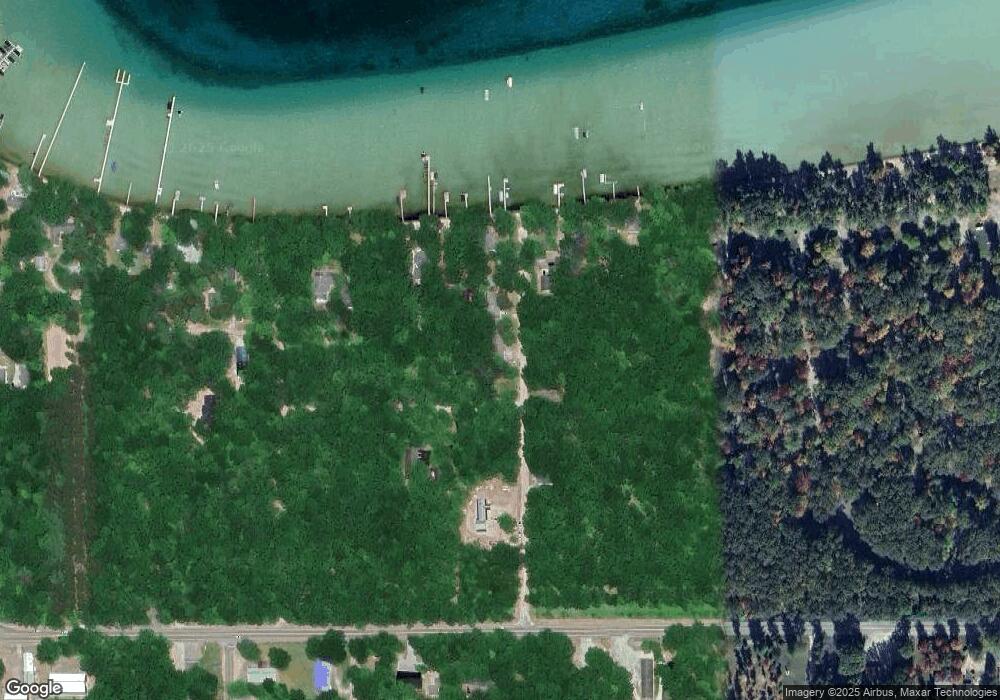
Map
Nearby Homes
- 119 Ethel Dr
- 121 Caduca Dr
- 408 Kirkshire Ave
- 212 Glenhurst Dr
- 804 Ridgedale Dr
- 115 Holly Ln
- 4628 W Marl Lake Rd
- 106 Kirkwood Dr
- 250 Mink Dr
- Lot 10 Burgundy Way
- 302 Sheffield Dr
- 5740 N Reserve Rd
- 205 Jackson Blvd
- 309 Englewood Dr
- 330 Ivy Dr
- 237 Quail Blvd
- 0 Garfield Blvd Unit 20250006241
- V/L N
- V/L N
- 215 Garfield Blvd
- 102 Snowbell Dr
- 104 Snowbell Dr
- 104 Lincoln Ave
- 101 Lincoln Ave
- 207 Lincoln Ave
- 108 Snowbell Dr
- 102 Lincoln Ave
- 114 Snowbell Dr
- 103 Lincoln Ave
- 219 Lincoln
- 1301 Michigan Blvd
- 112 Snowbell Dr
- 217 Lincoln Ave
- 111 Snowbell Dr
- 219 Lincoln Ave
- 122 Snowbell Dr
- 1281 Michigan Blvd
- 660 W Higgins Lake Dr
- 455 W Higgins Lake Dr
- 449 W Higgins Lake Dr