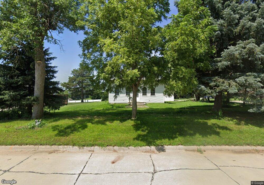
202 Lonsdale St Laurel, NE 68745
Estimated Value: $82,000 - $289,000
2
Beds
1
Bath
1,497
Sq Ft
$96/Sq Ft
Est. Value
About This Home
This home is located at 202 Lonsdale St, Laurel, NE 68745 and is currently estimated at $143,230, approximately $95 per square foot. 202 Lonsdale St is a home located in Cedar County with nearby schools including Laurel-Concord-Coleridge Elementary School, Laurel-Concord-Coleridge Middle School, and Laurel-Concord-Coleridge High School.
Ownership History
Date
Name
Owned For
Owner Type
Purchase Details
Closed on
Sep 28, 2022
Sold by
Revocable Living Trust
Bought by
Pimentel Kir-Hareseth and Lozada Angel
Current Estimated Value
Home Financials for this Owner
Home Financials are based on the most recent Mortgage that was taken out on this home.
Original Mortgage
$49,000
Outstanding Balance
$22,042
Interest Rate
5.44%
Estimated Equity
$121,188
Purchase Details
Closed on
Sep 2, 2015
Bought by
Dietrich Michael R (Trustee)
Create a Home Valuation Report for This Property
The Home Valuation Report is an in-depth analysis detailing your home's value as well as a comparison with similar homes in the area
Home Values in the Area
Average Home Value in this Area
Purchase History
| Date | Buyer | Sale Price | Title Company |
|---|---|---|---|
| Pimentel Kir-Hareseth | $69,000 | -- | |
| Dietrich Michael R (Trustee) | $29,400 | -- |
Source: Public Records
Mortgage History
| Date | Status | Borrower | Loan Amount |
|---|---|---|---|
| Open | Pimentel Kir-Hareseth | $49,000 |
Source: Public Records
Tax History Compared to Growth
Tax History
| Year | Tax Paid | Tax Assessment Tax Assessment Total Assessment is a certain percentage of the fair market value that is determined by local assessors to be the total taxable value of land and additions on the property. | Land | Improvement |
|---|---|---|---|---|
| 2024 | $732 | $57,600 | $6,250 | $51,350 |
| 2023 | $874 | $53,795 | $6,250 | $47,545 |
| 2022 | $491 | $28,700 | $6,250 | $22,450 |
| 2021 | $497 | $28,700 | $6,250 | $22,450 |
| 2020 | $442 | $28,700 | $6,250 | $22,450 |
| 2019 | $424 | $28,700 | $6,250 | $22,450 |
| 2018 | $382 | $27,630 | $6,250 | $21,380 |
| 2017 | $386 | $27,630 | $6,250 | $21,380 |
| 2016 | $370 | $28,210 | $6,250 | $21,960 |
| 2015 | -- | $27,570 | $6,250 | $21,320 |
| 2014 | $274 | $27,570 | $6,250 | $21,320 |
| 2013 | -- | $27,570 | $6,250 | $21,320 |
Source: Public Records
Map
Nearby Homes
- 701 Elm St
- 702 Cedar Ave
- 812 Oak St
- 86904 569 Ave
- 86904 569th Ave
- 87360 State Highway 15
- 87360 State Hwy 15
- Jensen Farm Highway 20
- 57069 876 Rd
- 412 S Main St
- 410 S Main St
- 408 S Main St
- 406 S Main St
- 411 S Main St
- 409 S Main St
- 407 S Main St
- 405 S Main St
- 613 E Broadway St
- 0 577 Ave at 864 Rd Unit NOC6327682
- 409 W Broadway St