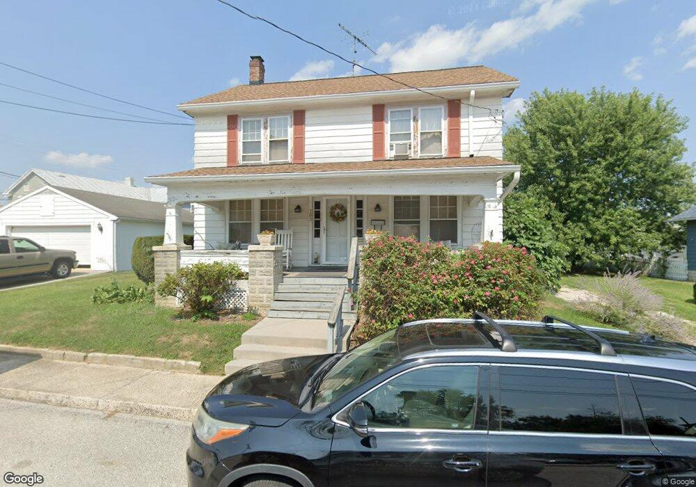
202 M St Littlestown, PA 17340
Estimated Value: $239,055 - $252,000
3
Beds
2
Baths
1,560
Sq Ft
$158/Sq Ft
Est. Value
About This Home
This home is located at 202 M St, Littlestown, PA 17340 and is currently estimated at $246,014, approximately $157 per square foot. 202 M St is a home located in Adams County with nearby schools including Rolling Acres El School, Maple Avenue Middle School, and Littlestown Senior High School.
Ownership History
Date
Name
Owned For
Owner Type
Purchase Details
Closed on
Mar 30, 2007
Sold by
Orock Matthew B and Matthew Orock Shelley M
Bought by
Kovacs Matthew and Kovacs Rhondda
Current Estimated Value
Home Financials for this Owner
Home Financials are based on the most recent Mortgage that was taken out on this home.
Original Mortgage
$161,850
Outstanding Balance
$98,342
Interest Rate
6.24%
Mortgage Type
New Conventional
Estimated Equity
$147,672
Create a Home Valuation Report for This Property
The Home Valuation Report is an in-depth analysis detailing your home's value as well as a comparison with similar homes in the area
Home Values in the Area
Average Home Value in this Area
Purchase History
| Date | Buyer | Sale Price | Title Company |
|---|---|---|---|
| Kovacs Matthew | $166,900 | -- |
Source: Public Records
Mortgage History
| Date | Status | Borrower | Loan Amount |
|---|---|---|---|
| Open | Kovacs Matthew | $161,850 |
Source: Public Records
Tax History
| Year | Tax Paid | Tax Assessment Tax Assessment Total Assessment is a certain percentage of the fair market value that is determined by local assessors to be the total taxable value of land and additions on the property. | Land | Improvement |
|---|---|---|---|---|
| 2025 | $3,600 | $156,600 | $37,600 | $119,000 |
| 2024 | $3,469 | $156,600 | $37,600 | $119,000 |
| 2023 | $3,335 | $156,600 | $37,600 | $119,000 |
| 2022 | $3,314 | $156,600 | $37,600 | $119,000 |
| 2021 | $3,216 | $156,600 | $37,600 | $119,000 |
| 2020 | $3,178 | $156,600 | $37,600 | $119,000 |
| 2019 | $3,083 | $156,600 | $37,600 | $119,000 |
| 2018 | $3,026 | $156,600 | $37,600 | $119,000 |
| 2017 | $2,949 | $156,600 | $37,600 | $119,000 |
| 2016 | -- | $156,600 | $37,600 | $119,000 |
| 2015 | -- | $156,600 | $37,600 | $119,000 |
| 2014 | -- | $156,600 | $37,600 | $119,000 |
Source: Public Records
Map
Nearby Homes
- 22 Cemetery St
- 230 M St
- 117 Charles St
- 115 Charles St
- 161 Cemetery St
- 144 W King St
- 141 W King St
- 149 Lumber St
- 72 Patrick Ave
- 68 Maple Ave
- 102 N Queen St
- 149 W Myrtle St
- 15 Yorktowne Ct Unit 97
- 52 N Gala Unit 394
- 6120 Baltimore Pike
- 21 Johnamac N Unit 384
- 20 Stedtle Ave
- 535 Lumber St
- 162 Newark St
- 41 Smith Cir
- Lot M St
- 206 M St
- 210 M St
- 207 & 209 M St
- 8207 Cemetary St and South Queen St
- 8 Cemetery St Unit 5
- 8 Cemetery St Unit 2
- 8 Cemetery St
- 218 M St
- 207 S Queen St
- 222 M St Unit 2
- 201 S Queen St
- 219 M St
- 4 LOT # Georgetown Rd
- 226 M St
- 223 M St
- 124 M St
- 227 M St
- 217 S Queen St
- 0 Adams County Pa Liquor License Unit PAAD114398
Your Personal Tour Guide
Ask me questions while you tour the home.