Estimated Value: $81,000 - $178,000
3
Beds
1
Bath
1,295
Sq Ft
$100/Sq Ft
Est. Value
About This Home
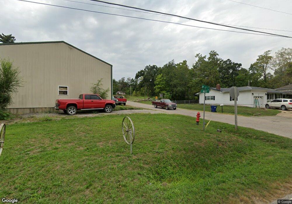
This home is located at 202 Maple St, Dixon, MO 65459 and is currently estimated at $129,500, approximately $100 per square foot. 202 Maple St is a home located in Pulaski County with nearby schools including Dixon Elementary School, Dixon Middle School, and Dixon High School.
Ownership History
Date
Name
Owned For
Owner Type
Purchase Details
Closed on
Aug 13, 2025
Sold by
Asher Gregory A and Asher Lamoine K
Bought by
Stricklan Troy
Current Estimated Value
Purchase Details
Closed on
Apr 10, 2019
Sold by
Jones Jim R and Porteous Brandi R
Bought by
Asher Gregory A and Asher Lamoine K
Purchase Details
Closed on
Oct 30, 2009
Sold by
Jim R Jim R
Bought by
Jones Jim R and Porteous Brandi Rae
Purchase Details
Closed on
Jul 31, 2009
Sold by
Rodney E Rodney E
Bought by
Jones Jim R
Home Financials for this Owner
Home Financials are based on the most recent Mortgage that was taken out on this home.
Original Mortgage
$39,372
Interest Rate
5.31%
Mortgage Type
Purchase Money Mortgage
Create a Home Valuation Report for This Property
The Home Valuation Report is an in-depth analysis detailing your home's value as well as a comparison with similar homes in the area
Purchase History
| Date | Buyer | Sale Price | Title Company |
|---|---|---|---|
| Stricklan Troy | -- | -- | |
| Asher Gregory A | -- | -- | |
| Jones Jim R | -- | -- | |
| Jones Jim R | -- | -- |
Source: Public Records
Mortgage History
| Date | Status | Borrower | Loan Amount |
|---|---|---|---|
| Previous Owner | Jones Jim R | $39,372 |
Source: Public Records
Tax History
| Year | Tax Paid | Tax Assessment Tax Assessment Total Assessment is a certain percentage of the fair market value that is determined by local assessors to be the total taxable value of land and additions on the property. | Land | Improvement |
|---|---|---|---|---|
| 2025 | $45 | $1,074 | $1,074 | $0 |
| 2024 | $45 | $895 | $895 | $0 |
| 2023 | $45 | $895 | $895 | $0 |
| 2022 | $46 | $895 | $895 | $0 |
| 2021 | $47 | $895 | $895 | $0 |
| 2020 | $47 | $895 | $0 | $0 |
| 2019 | $307 | $5,852 | $0 | $0 |
| 2018 | $309 | $5,852 | $0 | $0 |
| 2017 | $309 | $6,389 | $0 | $0 |
| 2016 | $309 | $5,850 | $0 | $0 |
| 2015 | -- | $5,850 | $0 | $0 |
| 2014 | $232 | $5,850 | $0 | $0 |
Source: Public Records
Map
Nearby Homes
- 501 W 5th St
- 412 W Chestnut St
- 709 Slone Rd
- 302 W 3rd St
- 200 W 6th St
- 103 S Ellen St
- 000 Highway 28
- 215 E 5th St
- 13306 Canuck Ln
- 15001 Highway 133
- 14011 Cobra Dr
- 11880 Cypress Rd
- 16560 Highway 133
- 40255 Maries Road 634
- 13416 Colorado Rd
- 17110 Cavalier Rd
- 12855 Chicago Rd
- 15785 Commander Dr
- 0 Highway 28 Unit MIS26009961
- 13820 Highway O
Your Personal Tour Guide
Ask me questions while you tour the home.