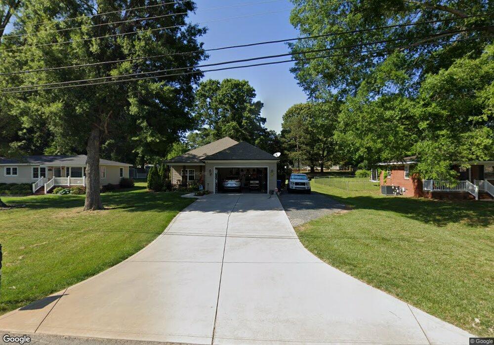
202 Maple St Locust, NC 28097
Estimated Value: $159,000 - $302,000
2
Beds
1
Bath
1,300
Sq Ft
$182/Sq Ft
Est. Value
About This Home
This home is located at 202 Maple St, Locust, NC 28097 and is currently estimated at $236,220, approximately $181 per square foot. 202 Maple St is a home located in Stanly County with nearby schools including Locust Elementary School, West Stanly Middle School, and West Stanly High School.
Ownership History
Date
Name
Owned For
Owner Type
Purchase Details
Closed on
Nov 29, 2022
Sold by
Afre 1 Llc
Bought by
Jjte 2 Llc
Current Estimated Value
Purchase Details
Closed on
Aug 15, 2022
Sold by
Afre 1 Llc
Bought by
Otto John and Otto Therez Michelle
Purchase Details
Closed on
Jan 15, 2021
Sold by
Barbee Jacquelien P and Estate Of Bobby Harold Barbee
Bought by
Afre 1 Llc
Create a Home Valuation Report for This Property
The Home Valuation Report is an in-depth analysis detailing your home's value as well as a comparison with similar homes in the area
Home Values in the Area
Average Home Value in this Area
Purchase History
| Date | Buyer | Sale Price | Title Company |
|---|---|---|---|
| Jjte 2 Llc | -- | -- | |
| Otto John | $310,000 | -- | |
| Otto John | $310,000 | None Listed On Document | |
| Afre 1 Llc | $95,000 | None Available | |
| Burleson Tammy Barbee | -- | None Available |
Source: Public Records
Tax History
| Year | Tax Paid | Tax Assessment Tax Assessment Total Assessment is a certain percentage of the fair market value that is determined by local assessors to be the total taxable value of land and additions on the property. | Land | Improvement |
|---|---|---|---|---|
| 2025 | $1,620 | $176,070 | $31,135 | $144,935 |
| 2024 | $1,187 | $108,862 | $18,398 | $90,464 |
| 2023 | $1,307 | $108,862 | $18,398 | $90,464 |
| 2022 | $1,296 | $108,862 | $18,398 | $90,464 |
| 2021 | $1,285 | $108,862 | $18,398 | $90,464 |
| 2020 | $927 | $72,262 | $16,133 | $56,129 |
| 2019 | $937 | $72,262 | $16,133 | $56,129 |
| 2018 | $817 | $72,262 | $16,133 | $56,129 |
| 2017 | $817 | $72,262 | $16,133 | $56,129 |
| 2016 | $806 | $71,295 | $15,001 | $56,294 |
| 2015 | $924 | $71,295 | $15,001 | $56,294 |
| 2014 | $852 | $71,295 | $15,001 | $56,294 |
Source: Public Records
Map
Nearby Homes
- 117 Battery Dr
- 117 Danita Dr
- 166 Battery Dr
- 230 Battery Dr
- 319 N Central Ave
- 219 Kerri Dawn Ln
- 288 Harrison Ln
- 213 Delancy St
- 417 Kiser Ln
- 206 Delancy St
- 213 Vanderbilt Blvd
- 913 Meadow Creek Church Rd
- 716 Saddlebred Ln
- 347 Carolina Hemlock Dr
- 421 Carolina Hemlock Dr
- 206 Montclair Dr
- 106 Marlwood Dr
- 107 Oakgrove St
- 201 N Beverly Dr
- Lot 1 Meadow Creek Church Rd Unit 1
- 204 Maple St
- 206 Maple St
- 219 Maple St
- 219 Maple St Unit 7
- 205 Danita Dr
- 211 Maple St
- 203 Danita Dr
- 207 Danita Dr
- 201 Dogwood St
- 207 Maple St Unit 4
- 203 Dogwood St
- 103 Battery Dr
- 203 Maple St
- 209 Danita Dr
- 000 Battery Dr
- 109 Battery Dr Unit 9
- 109 Battery Dr
- 205 Dogwood St
- 115 Dogwood St
- 207 Dogwood St
Your Personal Tour Guide
Ask me questions while you tour the home.