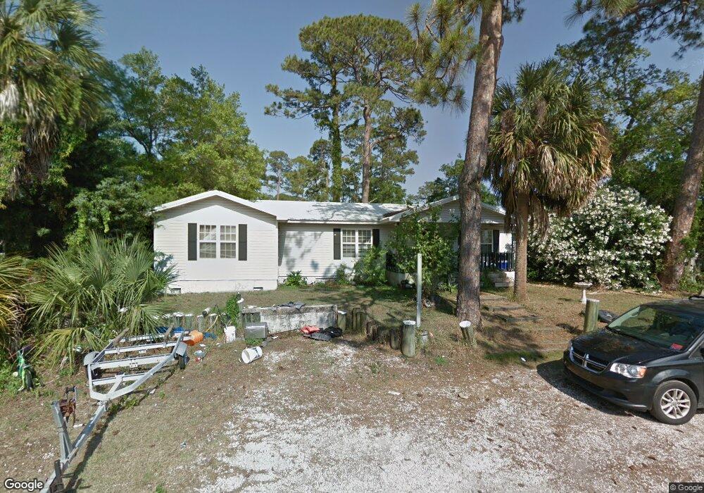
202 Mckenzie Ave Tybee Island, GA 31328
Estimated Value: $606,367 - $729,000
3
Beds
2
Baths
1,536
Sq Ft
$435/Sq Ft
Est. Value
About This Home
This home is located at 202 Mckenzie Ave, Tybee Island, GA 31328 and is currently estimated at $668,092, approximately $434 per square foot. 202 Mckenzie Ave is a home located in Chatham County with nearby schools including Howard Elementary School, Coastal Middle School, and Islands High School.
Ownership History
Date
Name
Owned For
Owner Type
Purchase Details
Closed on
May 28, 2014
Sold by
Williams Travis S
Bought by
Jpw Iii Llc
Current Estimated Value
Purchase Details
Closed on
Feb 24, 2011
Sold by
Williams Travis S and The Franklin D Kohel Administr
Bought by
Williams Travis S
Purchase Details
Closed on
Oct 5, 2009
Sold by
The Franklin D Kohel Admin
Bought by
Williams Travis S
Purchase Details
Closed on
Sep 18, 2008
Sold by
Not Provided
Bought by
Williams Travis S
Create a Home Valuation Report for This Property
The Home Valuation Report is an in-depth analysis detailing your home's value as well as a comparison with similar homes in the area
Home Values in the Area
Average Home Value in this Area
Purchase History
| Date | Buyer | Sale Price | Title Company |
|---|---|---|---|
| Jpw Iii Llc | $55,392 | -- | |
| Williams Travis S | -- | -- | |
| Williams Travis S | -- | -- | |
| Williams Travis S | -- | -- | |
| Williams Travis S | -- | -- |
Source: Public Records
Tax History Compared to Growth
Tax History
| Year | Tax Paid | Tax Assessment Tax Assessment Total Assessment is a certain percentage of the fair market value that is determined by local assessors to be the total taxable value of land and additions on the property. | Land | Improvement |
|---|---|---|---|---|
| 2025 | $16,091 | $254,120 | $172,520 | $81,600 |
| 2024 | $16,091 | $255,080 | $172,520 | $82,560 |
| 2023 | $3,156 | $244,200 | $172,520 | $71,680 |
| 2022 | $4,663 | $196,760 | $126,520 | $70,240 |
| 2021 | $4,811 | $138,760 | $57,680 | $81,080 |
| 2020 | $4,368 | $127,120 | $57,680 | $69,440 |
| 2019 | $4,367 | $127,120 | $57,680 | $69,440 |
| 2018 | $4,312 | $125,520 | $57,680 | $67,840 |
| 2017 | $4,066 | $126,200 | $57,680 | $68,520 |
| 2016 | $4,065 | $126,160 | $57,680 | $68,480 |
| 2015 | $1,615 | $22,157 | $11,256 | $10,901 |
| 2014 | $4,816 | $101,120 | $0 | $0 |
Source: Public Records
Map
Nearby Homes
- 1010 Live Oak Rd
- 1108 Bay St
- 1229 U S 80 Unit A
- 1111 Bay St Unit A
- 1101 Bay St Unit B
- 201 Byers St
- 1201 Bay St
- 1217 Bay St Unit 128A
- 1217 Bay St Unit 206A
- 1217 Bay St Unit 301B
- 1217 Bay St Unit 214B
- 1217 Bay St Unit 235A
- 1217 Bay St Unit 107B
- 1217 Bay St Unit 101C
- 1217 Bay St Unit 109B
- 1217 Bay St Unit 132A
- 1217 Bay St Unit 230A
- 1 Waterside Walk
- 5 Shipwatch Cir
- 15 Teresa Ln
- 1114 Laurel Ave
- 1115 Us Highway 80
- 1113 Laurel Ave
- 130 Mckenzie Ave
- 1110 Laurel Ave
- 1109 E Highway 80 Rd
- 1109 Laurel Ave
- 201 Mckenzie Ave
- 15 Soda Rock Ln
- 1108 Laurel Ave
- 109 Mckenzie Ave
- 1107 Laurel Ave
- 13 Soda Rock Ln
- 11 Soda Rock Ln
- 1106 Laurel Ave
- 1105 U S 80
- 9 Soda Rock Ln
- 1105 Highway 80
- 1105 Laurel Ave
- 0 Laurel Ave