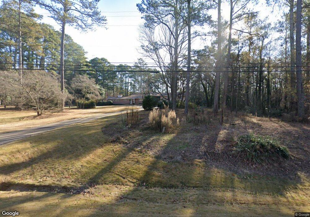
202 Monroe Hwy Winder, GA 30680
Estimated Value: $402,000 - $448,000
4
Beds
4
Baths
2,634
Sq Ft
$159/Sq Ft
Est. Value
About This Home
This home is located at 202 Monroe Hwy, Winder, GA 30680 and is currently estimated at $418,999, approximately $159 per square foot. 202 Monroe Hwy is a home located in Barrow County with nearby schools including Kennedy Elementary School, Westside Middle School, and Apalachee High School.
Ownership History
Date
Name
Owned For
Owner Type
Purchase Details
Closed on
Dec 2, 2005
Sold by
Jennings Thomas R
Bought by
Jennings Donald L
Current Estimated Value
Purchase Details
Closed on
Oct 18, 2005
Sold by
Jennings Edna A
Bought by
Jennings Donald L
Purchase Details
Closed on
Oct 20, 1976
Sold by
Jennings W H
Bought by
Jennings Edna A Mrs
Purchase Details
Closed on
Jul 9, 1976
Sold by
Jennings W H
Bought by
Jennings W H
Create a Home Valuation Report for This Property
The Home Valuation Report is an in-depth analysis detailing your home's value as well as a comparison with similar homes in the area
Home Values in the Area
Average Home Value in this Area
Purchase History
| Date | Buyer | Sale Price | Title Company |
|---|---|---|---|
| Jennings Donald L | $150,000 | -- | |
| Jennings Donald L | -- | -- | |
| Jennings Edna A Mrs | -- | -- | |
| Jennings W H | -- | -- |
Source: Public Records
Tax History Compared to Growth
Tax History
| Year | Tax Paid | Tax Assessment Tax Assessment Total Assessment is a certain percentage of the fair market value that is determined by local assessors to be the total taxable value of land and additions on the property. | Land | Improvement |
|---|---|---|---|---|
| 2024 | $3,804 | $138,247 | $21,424 | $116,823 |
| 2023 | $3,308 | $138,247 | $21,424 | $116,823 |
| 2022 | $3,108 | $94,856 | $21,424 | $73,432 |
| 2021 | $2,876 | $84,565 | $17,139 | $67,426 |
| 2020 | $2,585 | $78,754 | $19,798 | $58,956 |
| 2019 | $2,498 | $75,058 | $19,798 | $55,260 |
| 2018 | $2,489 | $75,058 | $19,798 | $55,260 |
| 2017 | $2,007 | $67,274 | $19,798 | $47,476 |
| 2016 | $2,045 | $64,995 | $19,798 | $45,197 |
| 2015 | $2,047 | $64,995 | $19,798 | $45,197 |
| 2014 | $1,693 | $54,898 | $9,701 | $45,197 |
| 2013 | -- | $51,206 | $9,701 | $41,505 |
Source: Public Records
Map
Nearby Homes
- 435 Watson Rd
- 1076 Sutherland Dr
- 1106 Sutherland Dr
- 536 Dianne Ct
- 1053 Sutherland Dr
- 1048 Sutherland Dr
- 256 Oceanliner Dr
- 252 Oceanliner Dr
- 812 Castilla Way
- 0 Gordon Ct Unit 10634940
- 0 Gordon Ct Unit 7674399
- 29 Lighthouse Dr
- 0 Atlanta Hwy SE Unit 10371310
- 120 2nd St
- 434 Aberdeen Way
- 211 Brooks Ln
- 422 Aberdeen Way
- 328 Advent Dr
- 194 Graham St
- 40 Huckleberry Ln
- 208 Monroe Hwy
- 184 Monroe Hwy
- 216 Monroe Hwy
- 456 Watson Rd
- 0 Watson Rd Unit 4060069
- 220 Monroe Hwy
- 172 Monroe Hwy
- 224 Monroe Hwy
- 448 Watson Rd
- 444 Watson Rd
- 168 Monroe Hwy
- 0 Monroe Hwy Unit 8388413
- 0 Monroe Hwy Unit 7410244
- 0 Monroe Hwy Unit 7253866
- 164 Monroe Hwy
- 430 Watson Rd
- 1082 Sutherland Dr
- 242 Monroe Hwy
- 1084 Sutherland Dr
- 1080 Sutherland Dr