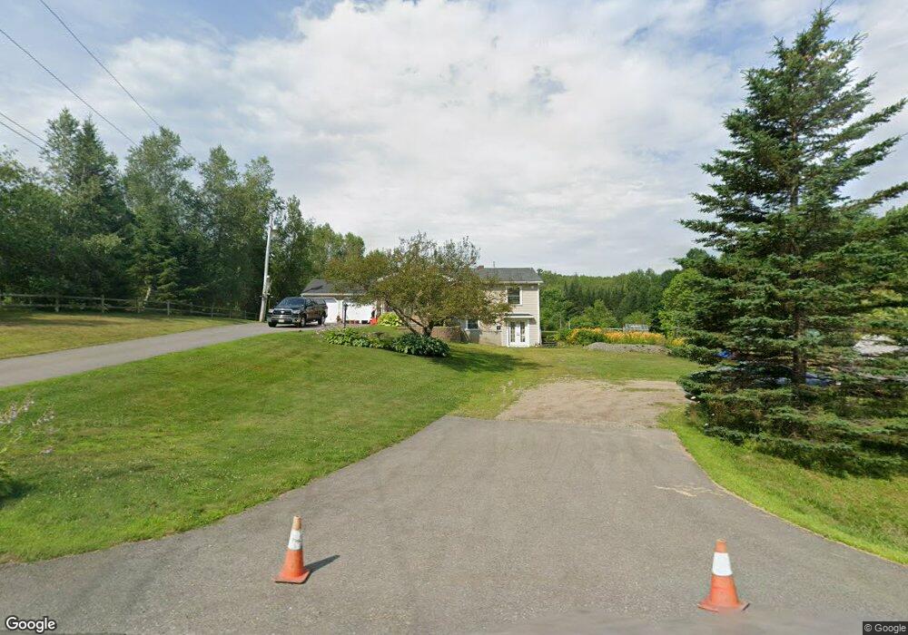
202 Moosehead Trail Dixmont, ME 04932
Estimated Value: $156,541 - $278,000
--
Bed
--
Bath
--
Sq Ft
2.96
Acres
About This Home
This home is located at 202 Moosehead Trail, Dixmont, ME 04932 and is currently estimated at $224,135. 202 Moosehead Trail is a home located in Penobscot County with nearby schools including Nokomis Regional Middle School/High School.
Ownership History
Date
Name
Owned For
Owner Type
Purchase Details
Closed on
Dec 29, 2016
Sold by
Ashley Rebecca
Bought by
Ashley Ricky R
Current Estimated Value
Home Financials for this Owner
Home Financials are based on the most recent Mortgage that was taken out on this home.
Original Mortgage
$108,800
Interest Rate
3.94%
Mortgage Type
Unknown
Purchase Details
Closed on
Jun 27, 2006
Sold by
Braley Stephen D
Bought by
Braley Stephen D and Braley Suzanne C
Home Financials for this Owner
Home Financials are based on the most recent Mortgage that was taken out on this home.
Original Mortgage
$82,500
Interest Rate
6.59%
Mortgage Type
Purchase Money Mortgage
Create a Home Valuation Report for This Property
The Home Valuation Report is an in-depth analysis detailing your home's value as well as a comparison with similar homes in the area
Home Values in the Area
Average Home Value in this Area
Purchase History
| Date | Buyer | Sale Price | Title Company |
|---|---|---|---|
| Ashley Ricky R | -- | -- | |
| Braley Stephen D | -- | -- | |
| Braley Stephen D | -- | -- | |
| Ashley Ricky R | -- | -- | |
| Braley Stephen D | -- | -- |
Source: Public Records
Mortgage History
| Date | Status | Borrower | Loan Amount |
|---|---|---|---|
| Closed | Ashley Ricky R | $108,800 | |
| Closed | Braley Stephen D | $82,500 |
Source: Public Records
Tax History Compared to Growth
Tax History
| Year | Tax Paid | Tax Assessment Tax Assessment Total Assessment is a certain percentage of the fair market value that is determined by local assessors to be the total taxable value of land and additions on the property. | Land | Improvement |
|---|---|---|---|---|
| 2024 | $1,560 | $144,450 | $43,290 | $101,160 |
| 2023 | $1,464 | $107,650 | $32,070 | $75,580 |
| 2022 | $1,399 | $107,650 | $32,070 | $75,580 |
| 2021 | $1,399 | $107,650 | $32,070 | $75,580 |
| 2020 | $1,399 | $107,650 | $32,070 | $75,580 |
| 2019 | $129 | $107,650 | $32,070 | $75,580 |
| 2018 | $3,232 | $105,151 | $32,068 | $73,083 |
| 2017 | $1,250 | $102,040 | $19,480 | $82,560 |
| 2016 | $1,148 | $102,040 | $19,480 | $82,560 |
| 2015 | $1,046 | $102,040 | $19,480 | $82,560 |
| 2014 | $1,122 | $102,040 | $19,480 | $82,560 |
Source: Public Records
Map
Nearby Homes
- M 4 L 43 Off Route 9 and Route 7
- 1260 Moosehead Trail
- M10L13-6 Moosehead Trail Hwy
- 337 Hatch Rd
- 678 Moosehead Trail
- Lot 3 & 4 Nason Hill Rd
- 5-1 Garland & Nason Hill Roads
- 020 Dodge Rd
- 582 Western Ave
- 581 Western Ave
- 13 N Long Swamp Rd
- 4685 Kennebec Rd
- M5L28-5 Moosehead Trail
- 516 Barker Rd
- 0 Village Rd Unit LotWP001 24895979
- M4L14 Village Rd
- 132 Village Rd
- 424 Ward Hill Rd
- Lot A Ward Hill Rd
- Lot 4 Jackson Ridge Rd
- 194 Moosehead Trail
- 56 Windsong Ln
- 200 Moosehead Trail
- 180 Moosehead Trail
- 20 Windsong Ln
- 225 Moosehead Trail
- 168 Moosehead Trail
- 235 Moosehead Trail
- 240 Moosehead Trail
- 243 Moosehead Trail
- 150 Moosehead Trail
- 251 Moosehead Trail
- 272 Moosehead Trail
- 132 Moosehead Trail
- 115 Moosehead Trail
- 108 Moosehead Trail
- 103 Moosehead Trail
- 306 Moosehead Trail
- 93 Fire Tower Rd
- 100 Moosehead Trail