Estimated Value: $201,587 - $369,000
--
Bed
--
Bath
1,456
Sq Ft
$185/Sq Ft
Est. Value
About This Home
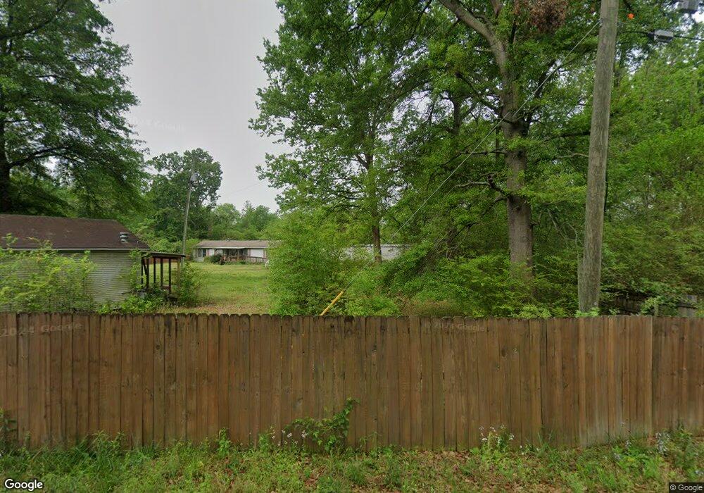
This home is located at 202 Morgan Ln, Cabot, AR 72023 and is currently estimated at $269,196, approximately $184 per square foot. 202 Morgan Ln is a home located in Lonoke County with nearby schools including Eastside Elementary School, Cabot Middle School North, and Cabot Junior High North.
Ownership History
Date
Name
Owned For
Owner Type
Purchase Details
Closed on
Aug 28, 2025
Sold by
Scott Shackleford V Shackleford Kennels and Burk Angela K
Bought by
Shackleford Scott
Current Estimated Value
Purchase Details
Closed on
May 25, 2007
Sold by
Shackleford Scott
Bought by
Shackleford Kennels Inc
Purchase Details
Closed on
May 18, 2007
Sold by
Shackleford Scott
Bought by
Shackleford Kennels Inc
Purchase Details
Closed on
Oct 22, 1997
Bought by
Shackleford
Purchase Details
Closed on
Mar 13, 1990
Bought by
Trojcak and Wife Ronnie
Purchase Details
Closed on
Oct 18, 1989
Bought by
Bowen and Bowen Wife
Purchase Details
Closed on
Oct 26, 1988
Bought by
Kelley
Purchase Details
Closed on
Jun 14, 1982
Bought by
Bowen and Wife Betty
Create a Home Valuation Report for This Property
The Home Valuation Report is an in-depth analysis detailing your home's value as well as a comparison with similar homes in the area
Home Values in the Area
Average Home Value in this Area
Purchase History
| Date | Buyer | Sale Price | Title Company |
|---|---|---|---|
| Shackleford Scott | $93,308 | None Listed On Document | |
| Shackleford Kennels Inc | -- | -- | |
| Shackleford Kennels Inc | -- | -- | |
| Shackleford | $29,000 | -- | |
| Shackleford | $29,000 | -- | |
| Trojcak | $11,000 | -- | |
| Bowen | -- | -- | |
| Kelley | $13,000 | -- | |
| Bowen | $3,000 | -- |
Source: Public Records
Tax History Compared to Growth
Tax History
| Year | Tax Paid | Tax Assessment Tax Assessment Total Assessment is a certain percentage of the fair market value that is determined by local assessors to be the total taxable value of land and additions on the property. | Land | Improvement |
|---|---|---|---|---|
| 2025 | $1,473 | $32,090 | $3,120 | $28,970 |
| 2024 | $1,473 | $32,090 | $3,120 | $28,970 |
| 2023 | $1,473 | $32,090 | $3,120 | $28,970 |
| 2022 | $1,445 | $32,090 | $3,120 | $28,970 |
| 2021 | $1,325 | $32,090 | $3,120 | $28,970 |
| 2020 | $1,205 | $26,250 | $2,340 | $23,910 |
| 2019 | $1,205 | $26,250 | $2,340 | $23,910 |
| 2018 | $1,205 | $26,250 | $2,340 | $23,910 |
| 2017 | $1,113 | $26,250 | $2,340 | $23,910 |
| 2016 | $1,205 | $26,250 | $2,340 | $23,910 |
| 2015 | $1,006 | $23,720 | $2,340 | $21,380 |
| 2014 | $1,089 | $23,720 | $2,340 | $21,380 |
Source: Public Records
Map
Nearby Homes
- 28 Shenandoah Way
- 42 Seminole Cir
- 13 Shenandoah Way
- 84 Seminole Cir
- Lot 3 Woodiel Dr
- 44 Shadow Creek Cir
- 2902 E Main St
- 3466 E Main St
- 2912 E Main St
- 2434 E Main St
- 2446 E Main St
- 2952 E Main St
- 2964 E Main St
- 3026 E Main St
- 3034 E Main St
- 3072 E Main St
- 3084 E Main St
- 141 Creekside Dr
- 86 Hudson Branch Dr
- 2614 Highway 38
- 17 Cumberland Cove
- 256 Morgan Ln
- 16 Charleston Cove
- 0 Charleston Cove Unit 17030172
- 15 Cumberland Cove
- 14 Cumberland Cove
- 15 Confederate Cove
- 14 Charleston Cove
- 11 Cumberland Cove
- 12 Cumberland Cove
- 17 Charleston Cove
- 12 Charleston Cove
- 16 Confederate Cove
- 21 Cumberland Dr
- 23 Cumberland Dr
- 15 Charleston Cove
- 25 Cumberland Dr
- 0 Morgan Ln
- 17 Cumberland Dr
- 258 Morgan Ln