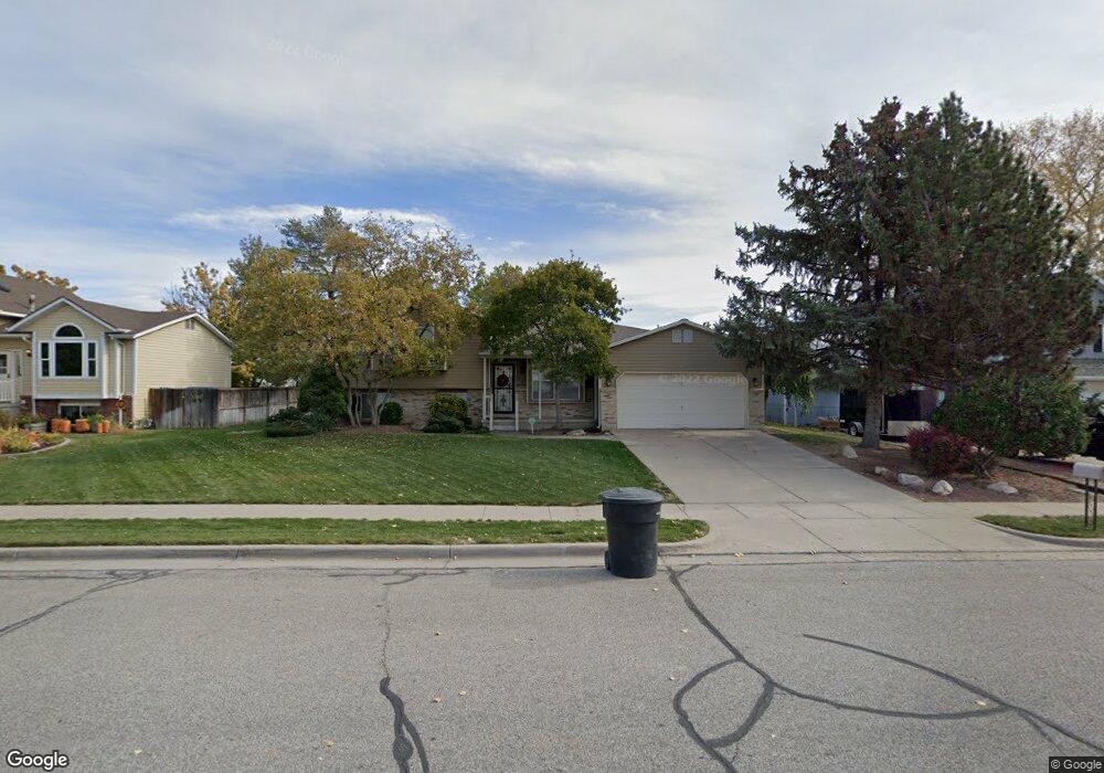
202 N 1750 W Clearfield, UT 84015
Estimated Value: $427,000 - $473,000
4
Beds
3
Baths
1,069
Sq Ft
$422/Sq Ft
Est. Value
About This Home
This home is located at 202 N 1750 W, Clearfield, UT 84015 and is currently estimated at $451,456, approximately $422 per square foot. 202 N 1750 W is a home located in Davis County with nearby schools including Lakeside School, West Point Junior High School, and Syracuse High School.
Ownership History
Date
Name
Owned For
Owner Type
Purchase Details
Closed on
Sep 9, 2024
Sold by
Kk Properties Llc
Bought by
Drep Properties Llc
Current Estimated Value
Purchase Details
Closed on
Nov 30, 2021
Sold by
Burt Betty C
Bought by
Betty C Burt Family Protection Trust
Purchase Details
Closed on
Nov 2, 2021
Sold by
Garner Kathryn Ann and Kline Koren M
Bought by
Kr Properties Llc
Create a Home Valuation Report for This Property
The Home Valuation Report is an in-depth analysis detailing your home's value as well as a comparison with similar homes in the area
Home Values in the Area
Average Home Value in this Area
Purchase History
| Date | Buyer | Sale Price | Title Company |
|---|---|---|---|
| Drep Properties Llc | -- | Us Title | |
| Betty C Burt Family Protection Trust | -- | -- | |
| Kr Properties Llc | -- | None Available | |
| Betty C Burt Family Protection Trust | -- | -- |
Source: Public Records
Tax History Compared to Growth
Tax History
| Year | Tax Paid | Tax Assessment Tax Assessment Total Assessment is a certain percentage of the fair market value that is determined by local assessors to be the total taxable value of land and additions on the property. | Land | Improvement |
|---|---|---|---|---|
| 2025 | $2,436 | $228,250 | $101,834 | $126,416 |
| 2024 | $2,372 | $223,299 | $91,734 | $131,565 |
| 2023 | $2,189 | $208,450 | $61,120 | $147,329 |
| 2022 | $2,344 | $404,000 | $103,506 | $300,494 |
| 2021 | $1,075 | $299,000 | $92,388 | $206,612 |
| 2020 | $285 | $257,000 | $76,978 | $180,022 |
| 2019 | $183 | $245,000 | $74,872 | $170,128 |
| 2018 | $134 | $215,000 | $76,283 | $138,717 |
| 2016 | $148 | $92,675 | $29,454 | $63,221 |
| 2015 | $1,315 | $89,155 | $29,454 | $59,701 |
| 2014 | $142 | $86,696 | $29,454 | $57,242 |
| 2013 | -- | $65,056 | $26,884 | $38,172 |
Source: Public Records
Map
Nearby Homes
- 47 N 1750 W
- 1774 W 400 N
- 12 N 2000 W Unit 1
- 1828 W 75 S
- 1648 W 150 S
- 1652 W 560 N
- 135 S 1525 W
- 575 N 1350 W Unit 137
- 1805 W 675 N
- 607 N 2000 W
- 16 N 1300 W
- 1350 W 300 N Unit 49
- 1350 W 300 N Unit 38
- 1350 W 300 N Unit 29
- 563 N 1350 W Unit 139
- 1337 W 550 N Unit 195
- 1832 W 725 N
- 423 N 1250 W Unit 118
- 1827 W 775 N
- 2283 W 470 N