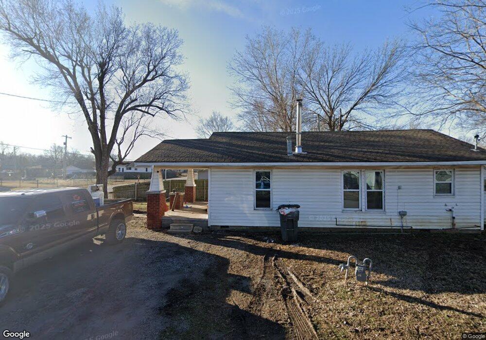
202 N 3rd St Sperry, OK 74073
Estimated Value: $95,893 - $146,000
Studio
1
Bath
816
Sq Ft
$137/Sq Ft
Est. Value
About This Home
This home is located at 202 N 3rd St, Sperry, OK 74073 and is currently estimated at $111,723, approximately $136 per square foot. 202 N 3rd St is a home located in Tulsa County with nearby schools including Sperry Elementary School, Sperry Middle School, and Sperry High School.
Ownership History
Date
Name
Owned For
Owner Type
Purchase Details
Closed on
Mar 12, 2020
Sold by
Gilpin Claudia E
Bought by
Smith Carson and Haynes Ashley
Current Estimated Value
Purchase Details
Closed on
Nov 5, 1999
Sold by
Miller Christopher L and Miller Kimberly
Bought by
Stephens Jeffrey M and Stephens Christy R
Home Financials for this Owner
Home Financials are based on the most recent Mortgage that was taken out on this home.
Original Mortgage
$6,629
Interest Rate
9%
Mortgage Type
Purchase Money Mortgage
Purchase Details
Closed on
Mar 26, 1999
Sold by
Cliff and Sc Helen Grace
Bought by
Gilpin Claudia E
Create a Home Valuation Report for This Property
The Home Valuation Report is an in-depth analysis detailing your home's value as well as a comparison with similar homes in the area
Purchase History
| Date | Buyer | Sale Price | Title Company |
|---|---|---|---|
| Smith Carson | $35,000 | Executives Title & Escrow | |
| Stephens Jeffrey M | $7,500 | -- | |
| Gilpin Claudia E | $20,500 | Guaranty Abstract Company |
Source: Public Records
Mortgage History
| Date | Status | Borrower | Loan Amount |
|---|---|---|---|
| Previous Owner | Stephens Jeffrey M | $6,629 |
Source: Public Records
Tax History
| Year | Tax Paid | Tax Assessment Tax Assessment Total Assessment is a certain percentage of the fair market value that is determined by local assessors to be the total taxable value of land and additions on the property. | Land | Improvement |
|---|---|---|---|---|
| 2025 | $497 | $4,457 | $563 | $3,894 |
| 2024 | $449 | $4,244 | $532 | $3,712 |
| 2023 | $449 | $4,042 | $507 | $3,535 |
| 2022 | $431 | $3,850 | $1,234 | $2,616 |
| 2021 | $429 | $3,850 | $1,234 | $2,616 |
| 2020 | $323 | $2,891 | $885 | $2,006 |
| 2019 | $309 | $2,752 | $842 | $1,910 |
| 2018 | $294 | $2,622 | $802 | $1,820 |
| 2017 | $272 | $2,497 | $1,100 | $1,397 |
| 2016 | $271 | $2,497 | $1,100 | $1,397 |
| 2015 | $269 | $2,497 | $1,100 | $1,397 |
| 2014 | $266 | $2,497 | $1,100 | $1,397 |
Source: Public Records
Map
Nearby Homes
- 215 S 4th St
- 313 W Birch Place
- 299 W Cherry
- 26 W Ash St
- 0 Sunset Unit 2544339
- 0 Sunset Unit 2544356
- 202 W Ada St
- 35 W Main St
- 222 N 2nd St
- 308 S Cincinnati Ave
- 9545 S Cincinnati St
- 107 W Carter St
- 10201 N Cincinnati Ave
- 2012 W 88th St N
- 10610 N 20th West Ave
- 10622 N 20th West Ave
- 9610 N Peoria Ave
- 8588 N Cincinnati Ave
- 4787 E 106th St N
- 9839 N Peoria Ave
Your Personal Tour Guide
Ask me questions while you tour the home.