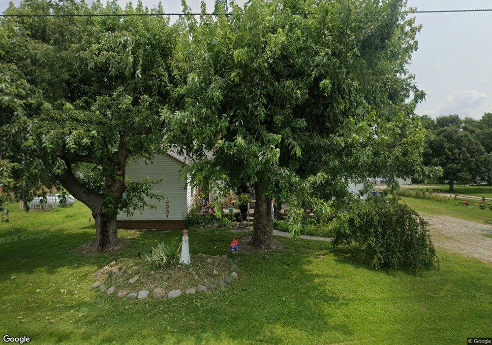
202 N Decant Rd Curtice, OH 43412
Estimated Value: $140,000 - $210,000
2
Beds
1
Bath
1,036
Sq Ft
$161/Sq Ft
Est. Value
About This Home
This home is located at 202 N Decant Rd, Curtice, OH 43412 and is currently estimated at $166,597, approximately $160 per square foot. 202 N Decant Rd is a home located in Lucas County.
Ownership History
Date
Name
Owned For
Owner Type
Purchase Details
Closed on
Mar 29, 2004
Sold by
Clifton Betty J and Clifton Betty
Bought by
Faneuff Deborah M
Current Estimated Value
Home Financials for this Owner
Home Financials are based on the most recent Mortgage that was taken out on this home.
Original Mortgage
$101,610
Outstanding Balance
$46,327
Interest Rate
5.65%
Mortgage Type
Purchase Money Mortgage
Estimated Equity
$120,270
Create a Home Valuation Report for This Property
The Home Valuation Report is an in-depth analysis detailing your home's value as well as a comparison with similar homes in the area
Purchase History
| Date | Buyer | Sale Price | Title Company |
|---|---|---|---|
| Faneuff Deborah M | $112,900 | -- |
Source: Public Records
Mortgage History
| Date | Status | Borrower | Loan Amount |
|---|---|---|---|
| Open | Faneuff Deborah M | $101,610 |
Source: Public Records
Tax History
| Year | Tax Paid | Tax Assessment Tax Assessment Total Assessment is a certain percentage of the fair market value that is determined by local assessors to be the total taxable value of land and additions on the property. | Land | Improvement |
|---|---|---|---|---|
| 2025 | -- | $40,775 | $13,755 | $27,020 |
| 2024 | $1,176 | $40,775 | $13,755 | $27,020 |
| 2023 | $2,473 | $36,575 | $6,440 | $30,135 |
| 2022 | $2,463 | $36,575 | $6,440 | $30,135 |
| 2021 | $2,475 | $36,575 | $6,440 | $30,135 |
| 2020 | $2,173 | $29,890 | $5,320 | $24,570 |
| 2019 | $2,073 | $29,890 | $5,320 | $24,570 |
| 2018 | $2,090 | $29,890 | $5,320 | $24,570 |
| 2017 | $2,153 | $29,400 | $3,710 | $25,690 |
| 2016 | $2,128 | $84,000 | $10,600 | $73,400 |
| 2015 | $2,115 | $84,000 | $10,600 | $73,400 |
| 2014 | $1,954 | $29,400 | $3,710 | $25,690 |
| 2013 | $1,954 | $29,400 | $3,710 | $25,690 |
Source: Public Records
Map
Nearby Homes
- 1031 N Cousino Rd
- 7330 Jerusalem Rd
- 1626 Dier Rd
- 549 Beachview Rd
- 645 Clubhouse Rd
- 6421 Seaman Rd
- 6927 N Wildacre Rd
- 7105 N Curtice St
- 22771 W Toledo St
- 22245 W Hollyhock Ln
- 22924 W Toledo St
- 22800 W Cedar Ave
- 7105 N Elliston Trowbridge Rd
- 11965 Dyke Rd
- 1228 Bury Rd
- 21224 W Toledo St
- 5914 Kacy Ln
- 5882 Kacy Ln
- 2018 Bonnie Doone Dr
- 455 Cody
- 146 N Decant Rd
- 210 N Decant Rd
- 220 N Decant Rd
- 130 N Decant Rd
- 230 N Decant Rd
- 124 N Decant Rd
- 126 N Decant Rd
- N Decant
- 260 N Decant Rd
- 108 N Decant Rd
- 330 N Decant Rd
- 314 N Decant Rd
- 47 N Decant Rd
- 9010 Corduroy Rd
- 8920 Corduroy Rd
- 9026 Corduroy Rd
- 25 N Decant Rd
- 9040 Corduroy Rd
- 9049 Seaman Rd
- 9055 Seaman Rd
Your Personal Tour Guide
Ask me questions while you tour the home.