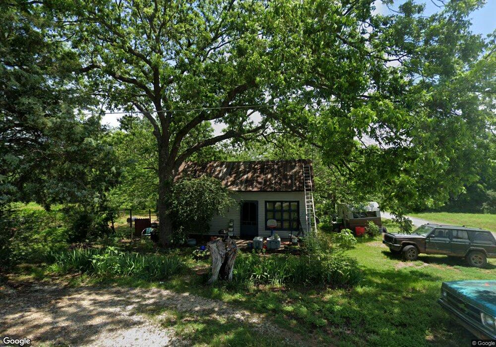
202 N Lyon St Coalgate, OK 74538
Estimated Value: $48,179 - $134,000
1
Bed
1
Bath
728
Sq Ft
$124/Sq Ft
Est. Value
About This Home
This home is located at 202 N Lyon St, Coalgate, OK 74538 and is currently estimated at $90,045, approximately $123 per square foot. 202 N Lyon St is a home located in Coal County with nearby schools including Emerson Elementary School, Wallace Byrd Middle School, and Coalgate High School.
Ownership History
Date
Name
Owned For
Owner Type
Purchase Details
Closed on
Sep 28, 2004
Sold by
Gabbart Danny and Gabbart Patricia
Bought by
Wood Kevin E
Current Estimated Value
Purchase Details
Closed on
Jun 18, 2002
Sold by
Moreland Ib and Moreland Connie
Bought by
Gabbart Danny L
Purchase Details
Closed on
Jan 17, 2002
Sold by
Bush Jack and Bush Carolyn
Bought by
Moreland Ib and Moreland Connie
Purchase Details
Closed on
Sep 20, 2001
Sold by
Misty Wright
Bought by
Jack and Carolyn Bush
Purchase Details
Closed on
May 6, 1996
Sold by
Leah Baumert
Bought by
Misty Wright
Purchase Details
Closed on
Oct 19, 1994
Sold by
Normin Cummins
Bought by
Leah Baumert
Create a Home Valuation Report for This Property
The Home Valuation Report is an in-depth analysis detailing your home's value as well as a comparison with similar homes in the area
Purchase History
| Date | Buyer | Sale Price | Title Company |
|---|---|---|---|
| Wood Kevin E | $21,000 | -- | |
| Gabbart Danny L | $3,500 | -- | |
| Moreland Ib | $3,500 | -- | |
| Jack | $3,500 | -- | |
| Misty Wright | -- | -- | |
| Leah Baumert | $500 | -- |
Source: Public Records
Tax History
| Year | Tax Paid | Tax Assessment Tax Assessment Total Assessment is a certain percentage of the fair market value that is determined by local assessors to be the total taxable value of land and additions on the property. | Land | Improvement |
|---|---|---|---|---|
| 2025 | $51 | $1,609 | $638 | $971 |
| 2024 | $47 | $1,562 | $638 | $924 |
| 2023 | $43 | $1,516 | $638 | $878 |
| 2022 | $39 | $1,472 | $638 | $834 |
| 2021 | $35 | $1,429 | $638 | $791 |
| 2020 | $32 | $1,390 | $638 | $752 |
| 2019 | $30 | $1,349 | $638 | $711 |
| 2018 | $30 | $1,352 | $638 | $714 |
| 2017 | $33 | $1,430 | $513 | $917 |
| 2016 | $30 | $1,389 | $498 | $891 |
| 2015 | $27 | $1,348 | $560 | $788 |
| 2014 | $24 | $1,309 | $78 | $1,231 |
Source: Public Records
Map
Nearby Homes
- 17301 Main St
- 0 County Road 1720 Unit 2606059
- 17500 County Road 3762
- 0000 N3840
- 01 Oklahoma 31
- 402 W Cowley Ave
- 301 S Byrd St
- 0 W Ohio Ave
- 408 S Clark St
- 205 S Broadway St
- 601 S Frey St
- 0 Oklahoma 31
- 604 W Cowley Ave
- 606 S Ada St
- 4 N Orray St
- 0 Cedar Way
- 9 N Jerome St
- 00000 Highway 75
- 109 S Jerome St
- 0 S Railroad St Unit 2607787
- 308 E Olive Ave
- 208 N Lyon St
- 109 N Lyon St
- 109 N Lyon St
- 205 E Ewing Ave
- 204 E Olive Ave
- 302 N Lyon St
- 206 E Delmar Ave
- 306 E Delmar Ave
- 203 E Ewing Ave
- 303 E Delmar Ave
- 205 N Broadway St
- 307 N Lyon St
- 6 N Lyon St
- 10 N Finney St
- 7 N Broadway St
- 9 N Broadway St
- 406 N Cloe St
- 204 E Boyle Ave
- 16941 Cherry St
Your Personal Tour Guide
Ask me questions while you tour the home.