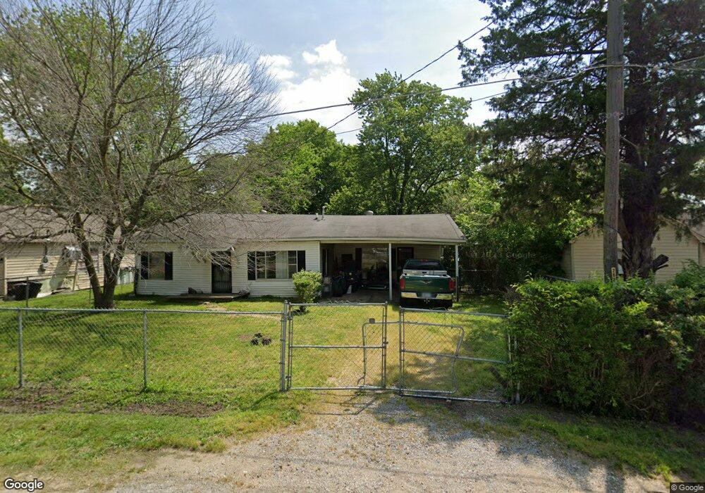
202 N Poplar St Keiser, AR 72351
Estimated Value: $50,714 - $85,000
--
Bed
--
Bath
1,052
Sq Ft
$61/Sq Ft
Est. Value
About This Home
This home is located at 202 N Poplar St, Keiser, AR 72351 and is currently estimated at $63,929, approximately $60 per square foot. 202 N Poplar St is a home with nearby schools including Rivercrest Elementary School.
Ownership History
Date
Name
Owned For
Owner Type
Purchase Details
Closed on
Jan 2, 1997
Sold by
Waltrip Mildred P
Bought by
Waltrip Mildred P
Current Estimated Value
Purchase Details
Closed on
Jan 1, 1997
Sold by
Waltrip Mildred P
Bought by
Waltrip Mildred P
Purchase Details
Closed on
Jan 2, 1986
Sold by
Waltrip Mildred P
Bought by
Waltrip Mildred P
Purchase Details
Closed on
Jan 1, 1986
Sold by
Waltrip Mildred P
Bought by
Waltrip Mildred P
Purchase Details
Closed on
Jan 2, 1981
Sold by
Waltrip Forrest
Bought by
Waltrip Mildred P
Purchase Details
Closed on
Jan 1, 1981
Sold by
Waltrip Forrest
Bought by
Waltrip Mildred P
Purchase Details
Closed on
Jan 1, 1951
Bought by
Waltrip Forrest
Create a Home Valuation Report for This Property
The Home Valuation Report is an in-depth analysis detailing your home's value as well as a comparison with similar homes in the area
Home Values in the Area
Average Home Value in this Area
Purchase History
| Date | Buyer | Sale Price | Title Company |
|---|---|---|---|
| Waltrip Mildred P | -- | -- | |
| Waltrip Mildred P | -- | -- | |
| Waltrip Mildred P | -- | -- | |
| Waltrip Mildred P | -- | -- | |
| Waltrip Mildred P | -- | -- | |
| Waltrip Mildred P | -- | -- | |
| Waltrip Forrest | -- | -- |
Source: Public Records
Tax History Compared to Growth
Tax History
| Year | Tax Paid | Tax Assessment Tax Assessment Total Assessment is a certain percentage of the fair market value that is determined by local assessors to be the total taxable value of land and additions on the property. | Land | Improvement |
|---|---|---|---|---|
| 2024 | $372 | $7,188 | $800 | $6,388 |
| 2023 | $372 | $7,188 | $800 | $6,388 |
| 2022 | $381 | $8,925 | $800 | $8,125 |
| 2021 | $414 | $6,695 | $800 | $5,895 |
| 2020 | -- | $6,695 | $800 | $5,895 |
| 2019 | -- | -- | $800 | $5,895 |
| 2018 | -- | -- | $800 | $5,895 |
| 2017 | -- | -- | $800 | $6,675 |
| 2015 | -- | -- | $800 | $6,017 |
| 2013 | -- | -- | $800 | $6,017 |
Source: Public Records
Map
Nearby Homes
- 201 N Market St
- 303 Oak St
- 1 Cedar St
- 309 Senter Ave
- 0 E Johnson Ave
- 0 Shippen Ave Unit 22016399
- 1199 W Highway 119
- 1281 S Hwy 77
- 1281 S State Highway 77
- 123 Kristi Dr
- 132 Ken Dr
- 130 Diane Dr
- 110 Carriage Dr
- 101 Carriage Dr
- 106 W Cheryl St
- 109 Newport Dr
- 111 Colonial Rd
- 106 Hickory Cir
- 1169 S State Highway 119
- 116 Cherry Dr
- 204 N Poplar St
- 112 N Poplar St
- 110 N Poplar St
- 113 Poplar St
- 206 Poplar
- 209 N Market St
- 109 Poplar St
- 113 N Market St
- 203 N Market St
- 211 N Market St
- 106 N Poplar St
- 111 N Market St
- 109 N Market St
- 301 N Market St
- 301 N Market St
- 307 N Market St
- 201 W Main St
- 309 N Market St
- 3875 W Main
- 208 W Main St