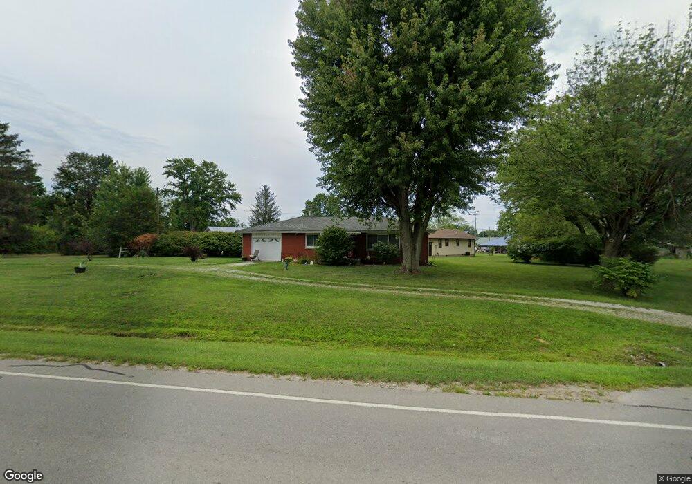
202 N State Road 3 Westport, IN 47283
Estimated Value: $168,000 - $180,077
2
Beds
1
Bath
1,080
Sq Ft
$161/Sq Ft
Est. Value
About This Home
This home is located at 202 N State Road 3, Westport, IN 47283 and is currently estimated at $173,769, approximately $160 per square foot. 202 N State Road 3 is a home located in Decatur County with nearby schools including South Decatur Elementary School and South Decatur Junior/Senior High School.
Ownership History
Date
Name
Owned For
Owner Type
Purchase Details
Closed on
Apr 16, 2019
Sold by
Washburn John E and Washburn Marilyn S
Bought by
Washburn John E and Washburn Marilyn S
Current Estimated Value
Purchase Details
Closed on
Aug 20, 2008
Sold by
Phyllis Colleen (Hall) Johnson Trust
Bought by
Westrick John E and Westrick Marilyn S
Create a Home Valuation Report for This Property
The Home Valuation Report is an in-depth analysis detailing your home's value as well as a comparison with similar homes in the area
Home Values in the Area
Average Home Value in this Area
Purchase History
| Date | Buyer | Sale Price | Title Company |
|---|---|---|---|
| Washburn John E | -- | -- | |
| Westrick John E | $79,000 | Lambert Abstract Company | |
| -- | $79,000 | -- |
Source: Public Records
Tax History Compared to Growth
Tax History
| Year | Tax Paid | Tax Assessment Tax Assessment Total Assessment is a certain percentage of the fair market value that is determined by local assessors to be the total taxable value of land and additions on the property. | Land | Improvement |
|---|---|---|---|---|
| 2024 | $917 | $141,700 | $23,600 | $118,100 |
| 2023 | $852 | $132,100 | $23,600 | $108,500 |
| 2022 | $791 | $121,300 | $23,600 | $97,700 |
| 2021 | $785 | $107,200 | $23,600 | $83,600 |
| 2020 | $518 | $89,400 | $17,000 | $72,400 |
| 2019 | $406 | $80,000 | $17,000 | $63,000 |
| 2018 | $303 | $74,100 | $17,000 | $57,100 |
| 2017 | $272 | $70,800 | $17,000 | $53,800 |
| 2016 | $246 | $65,500 | $15,100 | $50,400 |
| 2014 | $247 | $66,300 | $15,100 | $51,200 |
| 2013 | $248 | $63,800 | $15,100 | $48,700 |
Source: Public Records
Map
Nearby Homes
- 107 W Main St
- 1017 W Main St
- 217 E Sycamore St
- 508 Deer Run
- 503 E Bennett St
- 506 E North St
- 3852 W Co Road 1100 S
- 0 W Co Rd 1100 S
- 6440 W County Road 1300 S
- 3058 W Co Road 1100 S
- 11182 S Co Road 280 W
- 7962 S State Road 3
- 4281 W County Road 800 S
- 1816 W County Road 1000 S
- 6255 E County Road 850 N
- 4944 S County Road 240 W
- 8950 N County Road 350 W
- 28 W Co Road 700 S
- 3735 W County Road 850 N
- 5766 S Co Road 20 W