Estimated Value: $229,000 - $274,000
--
Bed
--
Bath
--
Sq Ft
0.31
Acres
About This Home
This home is located at 202 N Watts St, Adams, WI 53910 and is currently estimated at $252,299. 202 N Watts St is a home located in Adams County with nearby schools including Adams-Friendship High School.
Ownership History
Date
Name
Owned For
Owner Type
Purchase Details
Closed on
Oct 31, 2019
Sold by
Rice Jeffrey D
Bought by
Rice Jeffrey D
Current Estimated Value
Purchase Details
Closed on
May 4, 2016
Sold by
Rice Kay
Bought by
Rice Jeffrey D
Purchase Details
Closed on
Mar 20, 2012
Sold by
Darrell S Darrell S
Bought by
Rice Kay E
Purchase Details
Closed on
Sep 1, 2006
Sold by
Bebris Alexander P and Bebris Carrie A
Bought by
Rice Darrell S and Rice Kay E
Create a Home Valuation Report for This Property
The Home Valuation Report is an in-depth analysis detailing your home's value as well as a comparison with similar homes in the area
Home Values in the Area
Average Home Value in this Area
Purchase History
| Date | Buyer | Sale Price | Title Company |
|---|---|---|---|
| Rice Jeffrey D | $112,400 | -- | |
| Rice Jeffrey D | $112,400 | -- | |
| Rice Kay E | -- | -- | |
| Rice Darrell S | $122,000 | -- |
Source: Public Records
Mortgage History
| Date | Status | Borrower | Loan Amount |
|---|---|---|---|
| Closed | Rice Darrell S | $0 |
Source: Public Records
Tax History Compared to Growth
Tax History
| Year | Tax Paid | Tax Assessment Tax Assessment Total Assessment is a certain percentage of the fair market value that is determined by local assessors to be the total taxable value of land and additions on the property. | Land | Improvement |
|---|---|---|---|---|
| 2024 | $2,394 | $179,300 | $13,500 | $165,800 |
| 2023 | $2,456 | $179,300 | $13,500 | $165,800 |
| 2022 | $2,306 | $123,300 | $11,000 | $112,300 |
| 2021 | $2,617 | $123,300 | $11,000 | $112,300 |
| 2020 | $2,465 | $123,300 | $11,000 | $112,300 |
| 2019 | $2,371 | $123,300 | $11,000 | $112,300 |
| 2018 | $2,419 | $123,300 | $11,000 | $112,300 |
| 2017 | $2,612 | $123,300 | $11,000 | $112,300 |
| 2016 | $2,462 | $123,300 | $11,000 | $112,300 |
| 2015 | $2,599 | $116,000 | $11,000 | $105,000 |
| 2014 | $2,599 | $128,000 | $11,300 | $116,700 |
| 2013 | $2,599 | $128,000 | $11,300 | $116,700 |
Source: Public Records
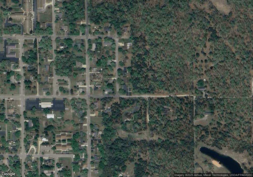
Map
Nearby Homes
- 138 N Pierce St
- 600 E Liberty St
- 104 N Pierce St
- 220 N Linden St
- 148 S Linden St
- 224 S Watts St
- 108 S Oak St
- 151 E June St
- 341 S Grant St
- L21 W 11th Dr
- L17 W 11th Dr
- L18 W 11th Dr
- 454 W Center St
- L15 & L16 N Elm St
- Lt 19 & 20 N Elm St
- 550 W Center St
- 112 S College St
- 1.91 Acres West St
- 1.05 Acres West St
- Lot 1 Raymond St
- 20 Ac E State St
- L2 E State St
- 0 E State St
- 17&18 N Watts St
- 508 E State St
- 220 N Watts St
- 575 E State St
- 17 Oakcrest Dr
- 228 N Watts St
- 200 N Pierce St
- 212 N Pierce St
- 255 N Watts St
- 214 N Pierce St
- 158 N Pierce St
- 235 N Watts St
- 216 N Pierce St
- 240 N Watts St
- 701 E State St
- 201 N Pierce St
- 577 E Liberty St