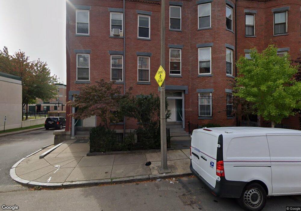
202 Northampton St Unit 4 Boston, MA 02118
Lower Roxbury NeighborhoodEstimated Value: $747,000 - $1,249,000
3
Beds
2
Baths
1,320
Sq Ft
$710/Sq Ft
Est. Value
About This Home
This home is located at 202 Northampton St Unit 4, Boston, MA 02118 and is currently estimated at $937,569, approximately $710 per square foot. 202 Northampton St Unit 4 is a home located in Suffolk County with nearby schools including Edward M. Kennedy Academy for Health Careers and Cathedral High School.
Ownership History
Date
Name
Owned For
Owner Type
Purchase Details
Closed on
Feb 13, 2007
Sold by
200 Northampton St Con
Bought by
Kamau Selefana and Smith Thomas L
Current Estimated Value
Home Financials for this Owner
Home Financials are based on the most recent Mortgage that was taken out on this home.
Original Mortgage
$68,000
Outstanding Balance
$40,865
Interest Rate
6.22%
Mortgage Type
Purchase Money Mortgage
Estimated Equity
$896,704
Create a Home Valuation Report for This Property
The Home Valuation Report is an in-depth analysis detailing your home's value as well as a comparison with similar homes in the area
Home Values in the Area
Average Home Value in this Area
Purchase History
| Date | Buyer | Sale Price | Title Company |
|---|---|---|---|
| Kamau Selefana | $340,000 | -- | |
| Batmasian James H | -- | -- |
Source: Public Records
Mortgage History
| Date | Status | Borrower | Loan Amount |
|---|---|---|---|
| Open | Batmasian James H | $68,000 | |
| Open | Kamau Selefana | $272,000 |
Source: Public Records
Tax History Compared to Growth
Tax History
| Year | Tax Paid | Tax Assessment Tax Assessment Total Assessment is a certain percentage of the fair market value that is determined by local assessors to be the total taxable value of land and additions on the property. | Land | Improvement |
|---|---|---|---|---|
| 2025 | $7,762 | $670,300 | $0 | $670,300 |
| 2024 | $7,269 | $666,900 | $0 | $666,900 |
| 2023 | $7,091 | $660,200 | $0 | $660,200 |
| 2022 | $7,112 | $653,700 | $0 | $653,700 |
| 2021 | $6,838 | $640,900 | $0 | $640,900 |
| 2020 | $6,295 | $596,100 | $0 | $596,100 |
| 2019 | $6,100 | $578,760 | $0 | $578,760 |
| 2018 | $5,722 | $546,000 | $0 | $546,000 |
| 2017 | $5,507 | $520,000 | $0 | $520,000 |
| 2016 | $5,500 | $500,000 | $0 | $500,000 |
| 2015 | $5,866 | $484,400 | $0 | $484,400 |
| 2014 | $5,530 | $439,600 | $0 | $439,600 |
Source: Public Records
Map
Nearby Homes
- 548 Massachusetts Ave Unit 3
- 530 Massachusetts Ave Unit 2
- 577 Massachusetts Ave Unit C
- 504 Massachusetts Ave Unit 3
- 491 Massachusetts Ave Unit 1
- 483 Massachusetts Ave Unit 7
- 99 + 101 W Springfield St
- 771 Tremont St Unit 2
- 67 Worcester St Unit 1
- 193 W Springfield St
- 202 W Springfield St Unit 3
- 43 Worcester St Unit 1
- 116 W Concord St Unit PH
- 451-453 Massachusetts Ave Unit 8
- 592 Columbus Ave Unit 1
- 125 W Concord St Unit 1
- 476 Shawmut Ave Unit 3
- 221 W Springfield St Unit 3
- 8 Concord Square Unit 1
- 12 Concord Square Unit 1
- 202 Northampton St Unit 3
- 202 Northampton St Unit 2
- 202 Northampton St Unit 1
- 200 Northampton St Unit 5
- 200 Northampton St Unit 4
- 200 Northampton St Unit 3
- 200 Northampton St Unit 2
- 200 Northampton St Unit 1
- 204 Northampton St
- 204 Northampton St Unit 1
- 204 Northampton St Unit 3
- 204 Northampton St Unit 2
- 204 Northampton St Unit 4
- 204 Northampton St
- 206 Northampton St
- 206 Northampton St Unit 1
- 206 Northampton St Unit 4
- 206 Northampton St Unit 2
- 206 Northampton St
- 206 Northampton St Unit 3