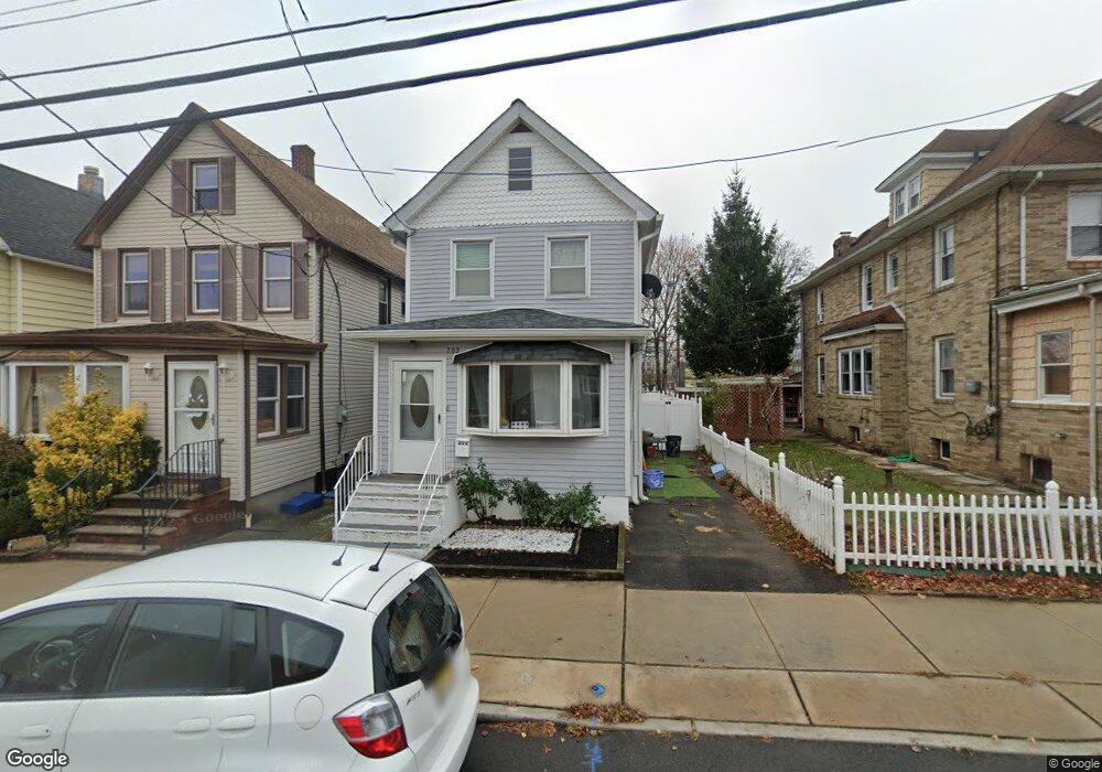
202 Pershing Ave Carteret, NJ 07008
Estimated Value: $431,000 - $507,000
--
Bed
--
Bath
1,200
Sq Ft
$382/Sq Ft
Est. Value
About This Home
This home is located at 202 Pershing Ave, Carteret, NJ 07008 and is currently estimated at $458,827, approximately $382 per square foot. 202 Pershing Ave is a home located in Middlesex County with nearby schools including Carteret High School and St Joseph School.
Ownership History
Date
Name
Owned For
Owner Type
Purchase Details
Closed on
Feb 25, 2020
Sold by
Reyes Rogelio
Bought by
Reyes Gerson
Current Estimated Value
Purchase Details
Closed on
Jun 7, 2002
Sold by
Kiss Antal
Bought by
Reyes Rogelio and Reyes Laura
Home Financials for this Owner
Home Financials are based on the most recent Mortgage that was taken out on this home.
Original Mortgage
$135,350
Outstanding Balance
$57,148
Interest Rate
6.79%
Estimated Equity
$401,679
Create a Home Valuation Report for This Property
The Home Valuation Report is an in-depth analysis detailing your home's value as well as a comparison with similar homes in the area
Home Values in the Area
Average Home Value in this Area
Purchase History
| Date | Buyer | Sale Price | Title Company |
|---|---|---|---|
| Reyes Gerson | -- | None Available | |
| Reyes Rogelio | $142,500 | -- |
Source: Public Records
Mortgage History
| Date | Status | Borrower | Loan Amount |
|---|---|---|---|
| Open | Reyes Rogelio | $135,350 |
Source: Public Records
Tax History Compared to Growth
Tax History
| Year | Tax Paid | Tax Assessment Tax Assessment Total Assessment is a certain percentage of the fair market value that is determined by local assessors to be the total taxable value of land and additions on the property. | Land | Improvement |
|---|---|---|---|---|
| 2025 | $6,146 | $422,200 | $294,300 | $127,900 |
| 2024 | $5,988 | $192,800 | $67,300 | $125,500 |
| 2023 | $5,988 | $192,800 | $67,300 | $125,500 |
| 2022 | $5,823 | $192,800 | $67,300 | $125,500 |
| 2021 | $4,267 | $192,800 | $67,300 | $125,500 |
| 2020 | $5,545 | $192,800 | $67,300 | $125,500 |
| 2019 | $5,385 | $192,800 | $67,300 | $125,500 |
| 2018 | $5,258 | $192,800 | $67,300 | $125,500 |
| 2017 | $5,071 | $192,800 | $67,300 | $125,500 |
| 2016 | $5,406 | $170,700 | $57,300 | $113,400 |
| 2015 | $5,328 | $170,700 | $57,300 | $113,400 |
| 2014 | $5,095 | $170,700 | $57,300 | $113,400 |
Source: Public Records
Map
Nearby Homes
- 198 Pershing Ave
- 204 Pershing Ave
- 206 Pershing Ave
- 208 Pershing Ave
- 196 Pershing Ave
- 196 Pershing Ave Unit 1
- 195 Pershing Ave
- 197 Pershing Ave
- 192 Pershing Ave
- 51 Irving St
- 188 Pershing Ave
- 191 Pershing Ave
- 128 Emerson St
- 26 Cooke Ave
- 126 Emerson St
- 24 Cooke Ave
- 189 Pershing Ave
- 52 Cooke Ave
- 182 Pershing Ave
- 124 Emerson St