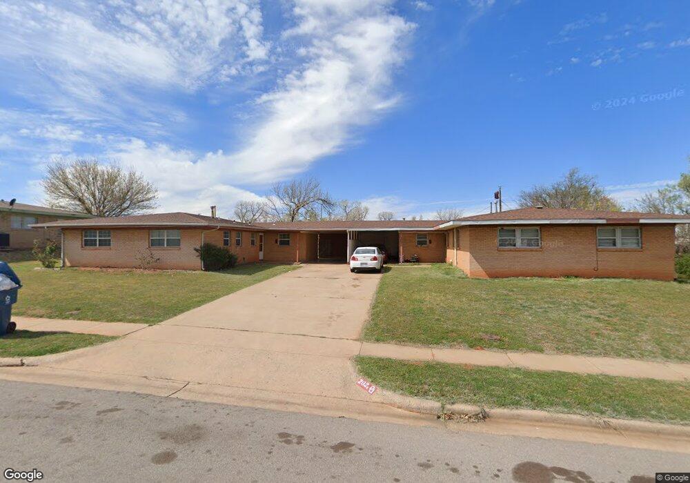
202 Potomac Rd Burns Flat, OK 73647
Estimated Value: $58,000 - $78,157
About This Home
This home is located at 202 Potomac Rd, Burns Flat, OK 73647 and is currently estimated at $67,539, approximately $48 per square foot. 202 Potomac Rd is a home with nearby schools including Will Rogers Elementary School and Burns Flat-Dill City High School.
Ownership History
We collect this data history from publicly available records. To have your information removed, we recommend requesting removal directly through your county’s website.
Purchase Details
Purchase Details
Purchase Details
Purchase Details
Purchase Details
Purchase History
We collect this data history from publicly available records. To have your information removed, we recommend requesting removal directly through your county’s website.
| Date | Buyer | Sale Price | Title Company |
|---|---|---|---|
| $30,000 | Atlas Title And Closing Llc | ||
| -- | -- | ||
| $16,000 | -- | ||
| -- | -- | ||
| -- | -- | ||
| $15,000 | -- |
Tax History
We collect this data history from publicly available records. To have your information removed, we recommend requesting removal directly through your county’s website.
| Year | Tax Paid | Tax Assessment Tax Assessment Total Assessment is a certain percentage of the fair market value that is determined by local assessors to be the total taxable value of land and additions on the property. | Land | Improvement |
|---|---|---|---|---|
| 2025 | $426 | $5,576 | $110 | $5,466 |
| 2024 | $418 | $5,586 | $110 | $5,476 |
| 2023 | $396 | $5,320 | $110 | $5,210 |
| 2022 | $410 | $5,067 | $110 | $4,957 |
| 2021 | $261 | $3,284 | $110 | $3,174 |
| 2020 | $268 | $3,368 | $110 | $3,258 |
| 2019 | $259 | $3,300 | $110 | $3,190 |
| 2018 | $254 | $3,199 | $110 | $3,089 |
| 2017 | $256 | $3,199 | $110 | $3,089 |
| 2016 | $257 | $3,199 | $110 | $3,089 |
| 2015 | $242 | $3,055 | $110 | $2,945 |
| 2014 | $242 | $2,909 | $110 | $2,799 |
Map
- 207 Pioneer Way
- 214 Iroquois Trail
- 21281 E 987 Rd
- 305 Seminole Trail
- 214 Pawnee Rd
- 407b Iroquois Trail
- 21303 E 990 Rd
- 21238 Highway 73
- 21308 E 989 Rd
- 204 Elaine Dr
- 21749 E 1150 Rd
- 0 I-40 Frontage Road 26 Acres
- 308 S Western
- 20850 E 1110 Rd
- 12018 N 2110 Rd
- 112 E Main
- 21508 S Frontage Rd
- 105 E Walk
- 302 S 2nd St
- 0 E 1220 Rd
- 200 Potomac Rd
- 203 Pioneer Way
- 206 Potomac Rd
- 207 Potomac Rd
- 204 Potomac Rd
- 201 Potomac Rd
- 201 Pioneer Way
- 205 Potomac Rd
- 203 Potomac Rd
- 205 Pioneer Way
- 209 Potomac Rd
- 202 Suwannee Rd
- 204 Suwannee Rd
- 200 Mohawk Trail
- 200 Suwannee Rd
- 211 Potomac Rd
- 206 Suwannee Rd
- 300 Navajo Trail
- 111 Pioneer Way
- 301 Frontier Way
Ask me questions while you tour the home.