202 Rock Terrace Rd Dahlonega, GA 30533
Estimated Value: $370,559 - $456,000
--
Bed
3
Baths
2,236
Sq Ft
$189/Sq Ft
Est. Value
About This Home
This home is located at 202 Rock Terrace Rd, Dahlonega, GA 30533 and is currently estimated at $422,890, approximately $189 per square foot. 202 Rock Terrace Rd is a home located in Lumpkin County with nearby schools including Lumpkin County High School.
Ownership History
Date
Name
Owned For
Owner Type
Purchase Details
Closed on
Jan 2, 2008
Sold by
Koehler David
Bought by
Koehler David and Therese Koehler V
Current Estimated Value
Home Financials for this Owner
Home Financials are based on the most recent Mortgage that was taken out on this home.
Original Mortgage
$199,863
Outstanding Balance
$124,704
Interest Rate
5.94%
Mortgage Type
FHA
Estimated Equity
$298,186
Purchase Details
Closed on
Aug 20, 1998
Sold by
Moore Robert E
Bought by
Moore Robert E
Purchase Details
Closed on
Mar 26, 1996
Sold by
Moore Robert E
Bought by
Moore Robert E
Purchase Details
Closed on
Sep 1, 1986
Bought by
Moore Robert E
Create a Home Valuation Report for This Property
The Home Valuation Report is an in-depth analysis detailing your home's value as well as a comparison with similar homes in the area
Home Values in the Area
Average Home Value in this Area
Purchase History
| Date | Buyer | Sale Price | Title Company |
|---|---|---|---|
| Koehler David | -- | -- | |
| Koehler David | $203,000 | -- | |
| Moore Robert E | -- | -- | |
| Moore Robert E | -- | -- | |
| Moore Robert E | -- | -- |
Source: Public Records
Mortgage History
| Date | Status | Borrower | Loan Amount |
|---|---|---|---|
| Open | Koehler David | $199,863 |
Source: Public Records
Tax History Compared to Growth
Tax History
| Year | Tax Paid | Tax Assessment Tax Assessment Total Assessment is a certain percentage of the fair market value that is determined by local assessors to be the total taxable value of land and additions on the property. | Land | Improvement |
|---|---|---|---|---|
| 2024 | $2,393 | $103,752 | $9,090 | $94,662 |
| 2023 | $1,820 | $96,935 | $9,090 | $87,845 |
| 2022 | $2,215 | $91,452 | $9,090 | $82,362 |
| 2021 | $1,902 | $76,287 | $9,090 | $67,197 |
| 2020 | $1,904 | $74,181 | $9,090 | $65,091 |
| 2019 | $1,922 | $74,181 | $9,090 | $65,091 |
| 2018 | $1,821 | $66,180 | $9,090 | $57,090 |
| 2017 | $1,756 | $62,694 | $9,090 | $53,604 |
| 2016 | $1,655 | $57,350 | $9,090 | $48,260 |
| 2015 | $1,475 | $57,350 | $9,090 | $48,260 |
| 2014 | $1,475 | $57,960 | $9,090 | $48,870 |
| 2013 | -- | $59,172 | $9,090 | $50,082 |
Source: Public Records
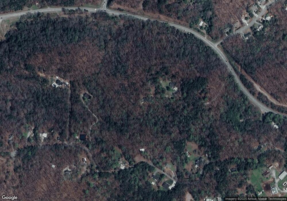
Map
Nearby Homes
- 6439 S Chestatee
- 6038 S Chestatee
- 433 Elliots Ln
- 58 Hampton Forest Ct
- 0 Robinson Rd Unit 10597950
- 0 Robinson Rd Unit 7643549
- 00 Long Branch Rd
- 0 Long Branch Rd Unit 10271720
- 0 Long Branch Rd Unit 10271266
- 0 Long Branch Rd Unit 7357871
- 11 Lake Trail
- 119 Hampton Forest Place
- 187 Angers Ct
- 5195 S Chestatee
- 33 Lion Ct
- 88 Fleet Dr
- 0 Fox Mountain Rd Unit 7648107
- 0 Fox Mountain Rd Unit 10606548
- 865 Iberian Rd
- 250 Silas Rd
- 0 Rock Terrace Rd
- 0 Rock Terrace Rd Unit 7528285
- 0 Rock Terrace Rd Unit 7541481
- 251 Rock Terrace Rd
- 442 Brandy Mountain Rd
- 620 Brandy Mountain Rd
- Lot C Brandy Mountain Rd
- 6234 S Chestatee
- 390 Brandy Mountain Rd
- 504 Brandy Mountain Rd
- 330 Brandy Mountain Rd
- 348 Brandy Mountain Rd
- 662 Brandy Mountain Rd
- 6439 S Chestatee
- 381 Brandy Mountain Rd
- 6118 S Chestatee
- 716 Brandy Mountain Rd
- 565 Brandy Mountain Rd
- 100 Botts Ave
- 261 Brandy Mountain Rd