202 Route 27 Unit 32 Raymond, NH 03077
Estimated Value: $297,150 - $327,000
2
Beds
2
Baths
1,166
Sq Ft
$264/Sq Ft
Est. Value
About This Home
This home is located at 202 Route 27 Unit 32, Raymond, NH 03077 and is currently estimated at $307,288, approximately $263 per square foot. 202 Route 27 Unit 32 is a home located in Rockingham County with nearby schools including Lamprey River Elementary School, Iber Holmes Gove Middle School, and Raymond High School.
Ownership History
Date
Name
Owned For
Owner Type
Purchase Details
Closed on
Oct 20, 2008
Sold by
Stgermaine Michael and Garcia Diomedes A
Bought by
Wanyo Theodore M
Current Estimated Value
Home Financials for this Owner
Home Financials are based on the most recent Mortgage that was taken out on this home.
Original Mortgage
$93,750
Interest Rate
6.41%
Mortgage Type
Purchase Money Mortgage
Purchase Details
Closed on
Oct 30, 2000
Sold by
Spezeski John M and Spezeski Samantha C
Bought by
Garrant Christopher M and Garrant Kimberly A
Home Financials for this Owner
Home Financials are based on the most recent Mortgage that was taken out on this home.
Original Mortgage
$80,600
Interest Rate
7.83%
Mortgage Type
Purchase Money Mortgage
Purchase Details
Closed on
Jul 1, 1997
Sold by
Nh River Manor Lp
Bought by
Spezeski John M and Spezeski Samantha C
Home Financials for this Owner
Home Financials are based on the most recent Mortgage that was taken out on this home.
Original Mortgage
$62,000
Interest Rate
7.81%
Create a Home Valuation Report for This Property
The Home Valuation Report is an in-depth analysis detailing your home's value as well as a comparison with similar homes in the area
Home Values in the Area
Average Home Value in this Area
Purchase History
| Date | Buyer | Sale Price | Title Company |
|---|---|---|---|
| Wanyo Theodore M | $125,000 | -- | |
| Garrant Christopher M | $84,900 | -- | |
| Spezeski John M | $64,000 | -- |
Source: Public Records
Mortgage History
| Date | Status | Borrower | Loan Amount |
|---|---|---|---|
| Open | Spezeski John M | $91,675 | |
| Closed | Spezeski John M | $93,750 | |
| Previous Owner | Spezeski John M | $80,600 | |
| Previous Owner | Spezeski John M | $62,000 |
Source: Public Records
Tax History
| Year | Tax Paid | Tax Assessment Tax Assessment Total Assessment is a certain percentage of the fair market value that is determined by local assessors to be the total taxable value of land and additions on the property. | Land | Improvement |
|---|---|---|---|---|
| 2024 | $4,229 | $193,000 | $0 | $193,000 |
| 2023 | $3,999 | $193,000 | $0 | $193,000 |
| 2022 | $3,530 | $193,000 | $0 | $193,000 |
| 2021 | $3,572 | $193,000 | $0 | $193,000 |
| 2020 | $3,519 | $134,300 | $0 | $134,300 |
| 2019 | $3,571 | $134,300 | $0 | $134,300 |
| 2018 | $3,539 | $134,300 | $0 | $134,300 |
| 2017 | $3,250 | $134,300 | $0 | $134,300 |
| 2016 | $3,188 | $134,300 | $0 | $134,300 |
| 2015 | $2,932 | $116,900 | $0 | $116,900 |
| 2014 | $2,844 | $116,900 | $0 | $116,900 |
| 2013 | $2,764 | $116,900 | $0 | $116,900 |
Source: Public Records
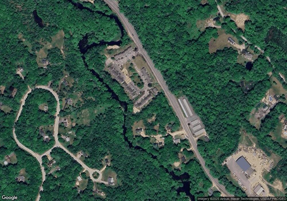
Map
Nearby Homes
- 202 Route 27 Unit 31
- 18 Manorview Dr
- 47 Long Hill Rd
- 69 Long Hill Rd
- 59 Barberry Ln
- 20 Bruins Ln
- 34 Scribner Rd
- 14 Main St
- 12-19 Dump Rd
- 209 New Hampshire 27
- 5 Blaisdell Ct
- 13 Blaisdell Ct Unit 10
- 0 Eastside Dr Unit 33
- 6 Blaisdell's Trail
- 17 Blaisdell's Trail
- M20 L45 Green Rd
- 14 Mica Dr Unit 3
- 22 Mica Dr Unit 7
- 10 Mica Dr Unit 1
- 12 Mica Dr Unit 2
- 202 Nh 27 Unit 30
- 202 Route 27 Unit 46
- 202 Route 27 Unit 45
- 202 Route 27 Unit 44
- 202 Route 27 Unit 43
- 202 Route 27 Unit 42
- 202 Route 27 Unit 41
- 202 Route 27 Unit 40
- 202 Route 27 Unit 39
- 202 Route 27 Unit 38
- 202 Route 27 Unit 37
- 202 Route 27 Unit 36
- 202 Route 27 Unit 35
- 202 Route 27 Unit 34
- 202 Route 27 Unit 33
- 202 Route 27 Unit 31
- 202 Route 27 Unit 30
- 202 Route 27 Unit 29
- 202 Route 27 Unit 28
- 202 Route 27 Unit 27
Your Personal Tour Guide
Ask me questions while you tour the home.