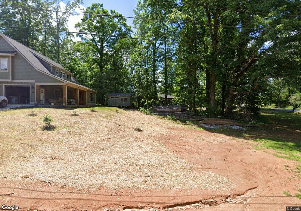
202 S Lovingood Ave Walhalla, SC 29691
Estimated Value: $251,000 - $324,000
1
Bed
2
Baths
1,845
Sq Ft
$158/Sq Ft
Est. Value
About This Home
This home is located at 202 S Lovingood Ave, Walhalla, SC 29691 and is currently estimated at $292,333, approximately $158 per square foot. 202 S Lovingood Ave is a home with nearby schools including Walhalla Elementary School, Walhalla Middle School, and Walhalla High School.
Ownership History
Date
Name
Owned For
Owner Type
Purchase Details
Closed on
Aug 18, 2022
Sold by
Bodiford John E
Bought by
Walhalla Roots Llc
Current Estimated Value
Home Financials for this Owner
Home Financials are based on the most recent Mortgage that was taken out on this home.
Original Mortgage
$250,000
Outstanding Balance
$238,424
Interest Rate
5.54%
Mortgage Type
Construction
Estimated Equity
$53,909
Purchase Details
Closed on
Mar 31, 2021
Sold by
Dwyer Nancy M
Bought by
Bodiford John E and Bodiford Kimberly J
Create a Home Valuation Report for This Property
The Home Valuation Report is an in-depth analysis detailing your home's value as well as a comparison with similar homes in the area
Home Values in the Area
Average Home Value in this Area
Purchase History
| Date | Buyer | Sale Price | Title Company |
|---|---|---|---|
| Walhalla Roots Llc | -- | None Listed On Document | |
| Bodiford John E | $17,000 | None Available |
Source: Public Records
Mortgage History
| Date | Status | Borrower | Loan Amount |
|---|---|---|---|
| Open | Walhalla Roots Llc | $250,000 |
Source: Public Records
Tax History Compared to Growth
Tax History
| Year | Tax Paid | Tax Assessment Tax Assessment Total Assessment is a certain percentage of the fair market value that is determined by local assessors to be the total taxable value of land and additions on the property. | Land | Improvement |
|---|---|---|---|---|
| 2025 | $4,881 | $10,738 | $384 | $10,354 |
| 2024 | $4,849 | $10,738 | $384 | $10,354 |
| 2023 | $245 | $384 | $384 | $0 |
| 2022 | $245 | $546 | $546 | $0 |
| 2021 | $184 | $546 | $546 | $0 |
| 2020 | $184 | $0 | $0 | $0 |
| 2019 | $184 | $0 | $0 | $0 |
| 2018 | $180 | $0 | $0 | $0 |
| 2017 | $219 | $0 | $0 | $0 |
| 2016 | $219 | $0 | $0 | $0 |
| 2015 | -- | $0 | $0 | $0 |
| 2014 | -- | $739 | $739 | $0 |
| 2013 | -- | $0 | $0 | $0 |
Source: Public Records
Map
Nearby Homes
- Tract B Bobolink Dr
- 101 Hazelwood Way
- 606 N Poplar St
- 223 N Dogwood Dr
- 221 Cub Cove Dr
- 00 Fox Run Rd
- Lot 57 Fox Run Rd
- 00 N Church St
- 203 Tulip Dr
- 301 Shadybrook Dr Unit B
- 804 W North Broad St
- 412 N Spring St
- 606 W South Broad St
- 731 Christmas Tree Ln
- 106 Torrington Rd
- 209 Moore Ave
- 910 White Cut Rd
- 00 S Spring St
- 00 Keowee St
- 320 Jaynes St
- 503 Playground Rd
- 204 S Lovingood Ave
- 405 Playground Rd
- 105 N Lovingood Ave
- 104 N Lovingood Ave
- 207 S Lovingood Ave
- 210 S Lovingood Ave
- 509 Playground Rd
- 109 N Lovingood Ave
- 402 Playground Rd
- 403 Playground Rd
- 400 Playground Rd
- 108 N Lovingood Ave
- 250 Meadowlark Dr
- 510 Playground Rd
- 113 N Lovingood Ave
- 511 Playground Rd
- 304 S Lovingood Ave
- 428 Holloway St
- 103 Earlestead Dr