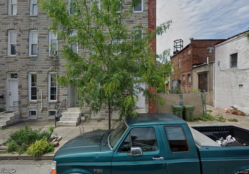
202 S Payson St Baltimore, MD 21223
Carrollton Ridge NeighborhoodEstimated Value: $116,299
--
Bed
--
Bath
--
Sq Ft
1,045
Sq Ft Lot
About This Home
This home is located at 202 S Payson St, Baltimore, MD 21223 and is currently estimated at $116,299. 202 S Payson St is a home located in Baltimore City with nearby schools including Booker T. Washington Middle School, Frederick Douglass High School, and Edmondson Westside High School.
Ownership History
Date
Name
Owned For
Owner Type
Purchase Details
Closed on
Mar 19, 2025
Sold by
Heald John Dereck
Bought by
Paskoski Kevin Patrick
Current Estimated Value
Purchase Details
Closed on
Aug 2, 2006
Sold by
Bush Anthony F
Bought by
Heald John Dereck
Home Financials for this Owner
Home Financials are based on the most recent Mortgage that was taken out on this home.
Original Mortgage
$49,500
Interest Rate
6.67%
Mortgage Type
Purchase Money Mortgage
Purchase Details
Closed on
May 15, 2000
Sold by
Bush Anthony F
Bought by
Bush Anthony F
Create a Home Valuation Report for This Property
The Home Valuation Report is an in-depth analysis detailing your home's value as well as a comparison with similar homes in the area
Home Values in the Area
Average Home Value in this Area
Purchase History
| Date | Buyer | Sale Price | Title Company |
|---|---|---|---|
| Paskoski Kevin Patrick | $33,500 | Property Title | |
| Paskoski Kevin Patrick | $33,500 | Property Title | |
| Heald John Dereck | $55,000 | -- | |
| Bush Anthony F | -- | -- |
Source: Public Records
Mortgage History
| Date | Status | Borrower | Loan Amount |
|---|---|---|---|
| Previous Owner | Heald John Dereck | $49,500 |
Source: Public Records
Tax History Compared to Growth
Tax History
| Year | Tax Paid | Tax Assessment Tax Assessment Total Assessment is a certain percentage of the fair market value that is determined by local assessors to be the total taxable value of land and additions on the property. | Land | Improvement |
|---|---|---|---|---|
| 2025 | $642 | $31,667 | -- | -- |
| 2024 | $642 | $27,333 | $0 | $0 |
| 2023 | $540 | $23,000 | $4,000 | $19,000 |
| 2022 | $480 | $20,333 | $0 | $0 |
| 2021 | $417 | $17,667 | $0 | $0 |
| 2020 | $354 | $15,000 | $3,000 | $12,000 |
| 2019 | $352 | $15,000 | $3,000 | $12,000 |
| 2018 | $354 | $15,000 | $3,000 | $12,000 |
| 2017 | $354 | $15,000 | $0 | $0 |
| 2016 | $355 | $15,000 | $0 | $0 |
| 2015 | $355 | $15,000 | $0 | $0 |
| 2014 | $355 | $15,000 | $0 | $0 |
Source: Public Records
Map
Nearby Homes
- 2001 W Pratt St
- 202 Harmison St
- 1933 W Pratt St
- 1931 W Pratt St
- 207 S Pulaski St
- 302 S Payson St
- 2032 W Pratt St
- 2011 Mchenry St
- 103 S Payson St
- 1917 Lemmon St
- 101 S Payson St
- 318 S Payson St
- 328 S Payson St
- 338 S Payson St
- 346 S Payson St
- 341 S Payson St
- 1910 Ramsay St
- 2112 Wilhelm St
- 1928 Frederick Ave
- 320 S Pulaski St
- 200 S Payson St
- 204 S Payson St
- 200 N Payson St
- 206 S Payson St
- 208 S Payson St
- 210 S Payson St
- 212 S Payson St
- 2003 W Pratt St
- 203 Harmison St
- 205 Harmison St
- 201 Harmison St
- 207 Harmison St
- 214 S Payson St
- 209 Harmison St
- 211 Harmison St
- 2013 W Pratt St
- 2011 W Pratt St
- 2013 W Pratt St
- 216 S Payson St
- 213 Harmison St