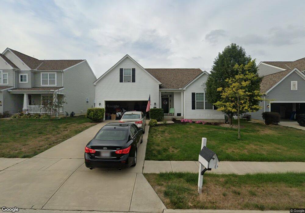
202 Silver Maple Rd Commercial Point, OH 43116
Estimated Value: $442,626 - $523,000
3
Beds
2
Baths
3,561
Sq Ft
$137/Sq Ft
Est. Value
About This Home
This home is located at 202 Silver Maple Rd, Commercial Point, OH 43116 and is currently estimated at $487,907, approximately $137 per square foot. 202 Silver Maple Rd is a home.
Ownership History
Date
Name
Owned For
Owner Type
Purchase Details
Closed on
Oct 6, 2014
Sold by
Westport Homes Inc
Bought by
Quitter Thomas E and Quitter Sarah J
Current Estimated Value
Home Financials for this Owner
Home Financials are based on the most recent Mortgage that was taken out on this home.
Original Mortgage
$256,825
Outstanding Balance
$78,126
Interest Rate
4.13%
Mortgage Type
VA
Estimated Equity
$409,781
Purchase Details
Closed on
Mar 31, 2014
Sold by
Saddlebrook Development Llc
Bought by
Westport Homes Inc
Create a Home Valuation Report for This Property
The Home Valuation Report is an in-depth analysis detailing your home's value as well as a comparison with similar homes in the area
Home Values in the Area
Average Home Value in this Area
Purchase History
| Date | Buyer | Sale Price | Title Company |
|---|---|---|---|
| Quitter Thomas E | $248,700 | Talon Title | |
| Westport Homes Inc | $124,000 | Talon Title |
Source: Public Records
Mortgage History
| Date | Status | Borrower | Loan Amount |
|---|---|---|---|
| Open | Quitter Thomas E | $256,825 |
Source: Public Records
Tax History
| Year | Tax Paid | Tax Assessment Tax Assessment Total Assessment is a certain percentage of the fair market value that is determined by local assessors to be the total taxable value of land and additions on the property. | Land | Improvement |
|---|---|---|---|---|
| 2025 | $7,557 | $146,430 | $12,570 | $133,860 |
| 2024 | $7,557 | $146,430 | $12,570 | $133,860 |
| 2023 | $5,508 | $146,430 | $12,570 | $133,860 |
| 2022 | $4,324 | $105,600 | $10,480 | $95,120 |
| 2021 | $4,337 | $105,600 | $10,480 | $95,120 |
| 2020 | $4,338 | $105,600 | $10,480 | $95,120 |
| 2019 | $3,177 | $85,470 | $10,480 | $74,990 |
| 2018 | $3,331 | $85,470 | $10,480 | $74,990 |
| 2017 | $3,418 | $85,470 | $10,480 | $74,990 |
| 2016 | $2,738 | $68,330 | $8,000 | $60,330 |
| 2015 | $2,740 | $68,330 | $8,000 | $60,330 |
| 2014 | $265 | $6,410 | $6,410 | $0 |
Source: Public Records
Map
Nearby Homes
- 182 Honey Locust Ln
- 161 Chestnut Estates Dr
- 190 Rosewood Loop SW
- 159 Chestnut Commons Dr
- 160 Chestnut Commons Dr
- 161 Rosewood Loop SE
- 305 Cherry Hills Rd
- 282 Olympic Loop
- 24 Erin Hills Rd
- 290 Olympic Loop
- 358 Oakmont Dr
- 62 Chambers Bay Rd
- 277 Olympic Loop
- 298 Shady Hollow Dr
- 359 Oakmont Dr
- 304 Cherry Hills Rd
- 305 Olympic Loop
- 56 Chambers Bay Rd
- 507 Walker Pointe Dr
- 239 Peters Run Ct
- 204 Silver Maple Rd
- 200 Silver Maple Dr
- 203 Silver Maple Dr
- 201 Silver Maple Rd
- 206 Silver Maple Rd
- 198 Silver Maple Dr
- 199 Silver Maple Rd
- 208 Silver Maple Rd
- 222 Honey Locust Ln
- 196 Silver Maple Rd
- 197 Silver Maple Rd
- 220 Honey Locust Ln Unit 226
- 210 Silver Maple Dr
- 204 Chestnut Estates Dr
- 195 Silver Maple Rd
- 202 Chestnut Estates Dr
- 194 Silver Maple Rd
- 229 Honey Locust Ln
- 229 Honey Locust Ln Unit 212
- 227 Honey Locust Ln
Your Personal Tour Guide
Ask me questions while you tour the home.