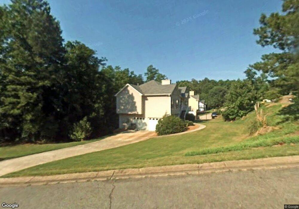
202 Springfield Ct Unit I Woodstock, GA 30188
Estimated Value: $381,000 - $398,451
3
Beds
2
Baths
1,588
Sq Ft
$245/Sq Ft
Est. Value
About This Home
This home is located at 202 Springfield Ct Unit I, Woodstock, GA 30188 and is currently estimated at $389,726, approximately $245 per square foot. 202 Springfield Ct Unit I is a home located in Cherokee County with nearby schools including Woodstock Elementary School, Woodstock Middle School, and Woodstock High School.
Ownership History
Date
Name
Owned For
Owner Type
Purchase Details
Closed on
Jul 2, 2001
Sold by
Atlantic Devel & Const Inc
Bought by
Fields Allen C
Current Estimated Value
Home Financials for this Owner
Home Financials are based on the most recent Mortgage that was taken out on this home.
Original Mortgage
$146,850
Interest Rate
6.89%
Create a Home Valuation Report for This Property
The Home Valuation Report is an in-depth analysis detailing your home's value as well as a comparison with similar homes in the area
Home Values in the Area
Average Home Value in this Area
Purchase History
| Date | Buyer | Sale Price | Title Company |
|---|---|---|---|
| Fields Allen C | $151,400 | -- | |
| Atlantic Devel & Const Inc | -- | -- |
Source: Public Records
Mortgage History
| Date | Status | Borrower | Loan Amount |
|---|---|---|---|
| Previous Owner | Atlantic Devel & Const Inc | $146,850 |
Source: Public Records
Tax History Compared to Growth
Tax History
| Year | Tax Paid | Tax Assessment Tax Assessment Total Assessment is a certain percentage of the fair market value that is determined by local assessors to be the total taxable value of land and additions on the property. | Land | Improvement |
|---|---|---|---|---|
| 2024 | $3,433 | $154,280 | $30,000 | $124,280 |
| 2023 | $302 | $161,400 | $30,000 | $131,400 |
| 2022 | $2,445 | $118,520 | $23,600 | $94,920 |
| 2021 | $2,242 | $98,200 | $16,000 | $82,200 |
| 2020 | $2,679 | $91,800 | $16,000 | $75,800 |
| 2019 | $2,018 | $86,960 | $16,000 | $70,960 |
| 2018 | $1,839 | $77,480 | $12,000 | $65,480 |
| 2017 | $1,723 | $177,500 | $12,000 | $59,000 |
| 2016 | $1,589 | $160,900 | $10,800 | $53,560 |
| 2015 | $1,366 | $138,000 | $10,800 | $44,400 |
| 2014 | $1,222 | $123,900 | $9,600 | $39,960 |
Source: Public Records
Map
Nearby Homes
- 403 Village View
- 304 Winchester Way
- 315 Lakeside Ln
- 130 Village Trail
- 1361 Chatley Way
- 776 Woodstock Grove Dr
- 338 Cherryhill Ln
- 532 Walton Dr
- 419 Creekside Ln
- 130 Maple Creek Way
- 204 Magnolia Creek Way
- 201 Jonquil Spring Rd
- 406 Creekside Ln Unit 3
- 615 Bedford Ct
- 137 Creekview Dr
- 9244 Main St Unit 102
- 147 Hubbard Rd
- The Barrington Plan at South on Main
- 967 S On Main Dr
- 443 Springfield Dr
- 0 Springfield Ct Unit 8358565
- 0 Springfield Ct
- 109 Remington Ct
- 107 Remington Ct
- 445 Springfield Dr Unit I
- 201 Springfield Ct
- 111 Remington Ct
- 203 Springfield Ct
- 432 Springfield Dr Unit I
- 434 Springfield Dr
- 113 Remington Ct
- 437 Springfield Dr Unit 1
- 0 Remington Ct Unit 7279533
- 0 Remington Ct Unit 7521190
- 0 Remington Ct Unit 3286818
- 0 Remington Ct Unit 8496827
- 0 Remington Ct Unit 8351084
- 0 Remington Ct Unit 7067155
- 0 Remington Ct Unit 2772832