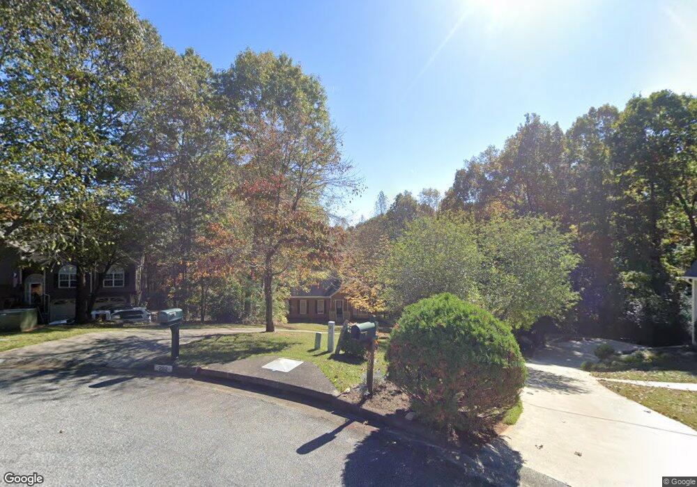
202 Springwater Way Woodstock, GA 30188
Union Hill NeighborhoodEstimated Value: $409,000 - $430,662
3
Beds
2
Baths
1,924
Sq Ft
$218/Sq Ft
Est. Value
About This Home
This home is located at 202 Springwater Way, Woodstock, GA 30188 and is currently estimated at $419,831, approximately $218 per square foot. 202 Springwater Way is a home located in Cherokee County with nearby schools including Johnston Elementary School, Mill Creek Middle School, and River Ridge High School.
Ownership History
Date
Name
Owned For
Owner Type
Purchase Details
Closed on
Jul 14, 2006
Sold by
Seward Karen
Bought by
Seward Calvin G and Seward Karen
Current Estimated Value
Home Financials for this Owner
Home Financials are based on the most recent Mortgage that was taken out on this home.
Original Mortgage
$187,064
Outstanding Balance
$109,794
Interest Rate
6.54%
Mortgage Type
FHA
Estimated Equity
$310,037
Create a Home Valuation Report for This Property
The Home Valuation Report is an in-depth analysis detailing your home's value as well as a comparison with similar homes in the area
Home Values in the Area
Average Home Value in this Area
Purchase History
| Date | Buyer | Sale Price | Title Company |
|---|---|---|---|
| Seward Calvin G | -- | -- | |
| Seward Karen | $190,000 | -- |
Source: Public Records
Mortgage History
| Date | Status | Borrower | Loan Amount |
|---|---|---|---|
| Open | Seward Karen | $187,064 |
Source: Public Records
Tax History Compared to Growth
Tax History
| Year | Tax Paid | Tax Assessment Tax Assessment Total Assessment is a certain percentage of the fair market value that is determined by local assessors to be the total taxable value of land and additions on the property. | Land | Improvement |
|---|---|---|---|---|
| 2025 | $837 | $149,588 | $34,400 | $115,188 |
| 2024 | $812 | $149,548 | $34,400 | $115,148 |
| 2023 | $663 | $146,484 | $34,400 | $112,084 |
| 2022 | $3,190 | $134,780 | $31,200 | $103,580 |
| 2021 | $2,788 | $105,956 | $24,000 | $81,956 |
| 2020 | $2,566 | $96,280 | $21,200 | $75,080 |
| 2019 | $2,460 | $91,720 | $20,400 | $71,320 |
| 2018 | $2,328 | $85,520 | $18,400 | $67,120 |
| 2017 | $2,281 | $206,900 | $18,400 | $64,360 |
| 2016 | $2,213 | $197,400 | $16,800 | $62,160 |
| 2015 | $2,163 | $189,700 | $16,800 | $59,080 |
| 2014 | $1,789 | $157,600 | $15,000 | $48,040 |
Source: Public Records
Map
Nearby Homes
- 214 Valley Brook Dr
- 228 Holly Creek Way
- 151 Springwater Trace
- 1095 Ashlin Dr
- 234 Holly Creek Way
- 550 Fox Creek Crossing
- 614 Springharbor Dr
- 531 Fox Creek Crossing
- 161 Stoney Creek Pkwy
- 505 Lost Creek Dr
- 5541 Old Highway 5
- 160 Highlands Dr
- 224 Stone Park Dr
- 501 Ruths Dr
- 306 Serenity Way
- 713 Parkside Dr
- 414 Ruths Blvd
- 205 Springwater Way
- 200 Springwater Way
- 121 Springwater Trace
- 203 Springwater Way
- 625 Coolsprings Ct
- 123 Springwater Trace
- 119 Springwater Trace
- 125 Springwater Trace Unit 1
- 113 Springwater Trace Unit 1
- 111 Springwater Trace
- 111 Springwater Trace
- 216 Valley Brook Dr
- 216 Valley Brook Dr Unit 1
- 117 Springwater Trace
- 109 Springwater Trace
- 220 Valley Brook Dr
- 630 Coolsprings Ct Unit 2
- 127 Springwater Trace
- 115 Springwater Trace
- 110 Springwater Trace