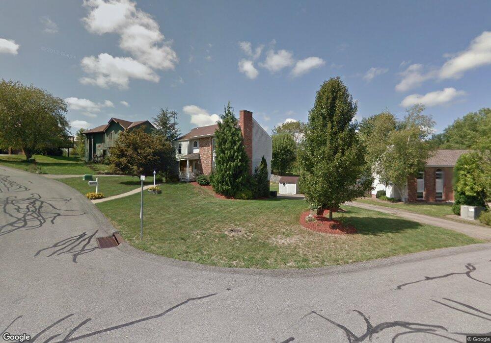
202 Stuart Cir Mc Donald, PA 15057
Estimated Value: $375,000 - $394,000
4
Beds
3
Baths
1,788
Sq Ft
$216/Sq Ft
Est. Value
About This Home
This home is located at 202 Stuart Cir, Mc Donald, PA 15057 and is currently estimated at $385,923, approximately $215 per square foot. 202 Stuart Cir is a home located in Allegheny County with nearby schools including South Fayette Elementary School, South Fayette Intermediate School, and South Fayette Middle School.
Ownership History
Date
Name
Owned For
Owner Type
Purchase Details
Closed on
Mar 14, 2016
Sold by
King Julie L and King James W
Bought by
Gatten Randy S
Current Estimated Value
Purchase Details
Closed on
Sep 6, 2007
Sold by
Einloth Matthew P
Bought by
King James W
Home Financials for this Owner
Home Financials are based on the most recent Mortgage that was taken out on this home.
Original Mortgage
$192,270
Interest Rate
6.74%
Mortgage Type
New Conventional
Purchase Details
Closed on
Dec 6, 1997
Sold by
Toplisek Michael D and Toplisek Tara M
Bought by
Einloth Matthew P and Einloth Karen Kruse
Purchase Details
Closed on
Mar 29, 1996
Sold by
Gilbert Fred E and Gilbert Kathleen M
Bought by
Toplisek Michael D and Toplisek Tara M
Create a Home Valuation Report for This Property
The Home Valuation Report is an in-depth analysis detailing your home's value as well as a comparison with similar homes in the area
Home Values in the Area
Average Home Value in this Area
Purchase History
| Date | Buyer | Sale Price | Title Company |
|---|---|---|---|
| Gatten Randy S | $177,500 | Attorney | |
| King James W | $188,500 | -- | |
| Einloth Matthew P | $125,000 | -- | |
| Toplisek Michael D | $124,000 | -- |
Source: Public Records
Mortgage History
| Date | Status | Borrower | Loan Amount |
|---|---|---|---|
| Previous Owner | King James W | $192,270 |
Source: Public Records
Tax History Compared to Growth
Tax History
| Year | Tax Paid | Tax Assessment Tax Assessment Total Assessment is a certain percentage of the fair market value that is determined by local assessors to be the total taxable value of land and additions on the property. | Land | Improvement |
|---|---|---|---|---|
| 2025 | $5,717 | $158,100 | $36,700 | $121,400 |
| 2024 | $1,496 | $158,100 | $36,700 | $121,400 |
| 2023 | $5,717 | $158,100 | $36,700 | $121,400 |
| 2022 | $5,717 | $158,100 | $36,700 | $121,400 |
| 2021 | $833 | $176,100 | $36,700 | $139,400 |
| 2020 | $6,368 | $176,100 | $36,700 | $139,400 |
| 2019 | $6,368 | $176,100 | $36,700 | $139,400 |
| 2018 | $833 | $176,100 | $36,700 | $139,400 |
| 2017 | $6,324 | $176,100 | $36,700 | $139,400 |
| 2016 | $833 | $176,100 | $36,700 | $139,400 |
| 2015 | $833 | $176,100 | $36,700 | $139,400 |
| 2014 | $5,885 | $176,100 | $36,700 | $139,400 |
Source: Public Records
Map
Nearby Homes
- 1201 Oakridge Rd
- 520 Old Fayette Trail
- 4552 Battle Ridge Rd
- 8059 Hinsdale Ln
- 215 Creekside Dr
- 5812 Windsor Dr
- Boston Plan at Creekside Meadows
- Somerset Plan at Creekside Meadows
- Waterloo Plan at Creekside Meadows
- Tucson Plan at Creekside Meadows
- Rockford Plan at Creekside Meadows
- 232 Creekside Dr
- 307 Champions Way
- 246 Creekside Dr
- 2006 Field Stone Dr
- 1015 Livorno Dr
- 1021 Stonegate Dr
- 2033 Field Stone Dr
- 1006 Stonegate Dr
- Carlisle Plan at Stonegate
- 203 Stuart Cir
- 201 Battery Dr S
- 213 Battery Dr S
- 44 Cannongate Dr
- 204 Stuart Cir
- 214 Battery Dr S
- 43 Cannongate Dr
- 400 Battery Dr S
- 212 Stuart Cir
- 75 Battery Dr N
- 42 Cannongate Dr
- 205 Stuart Cir
- 402 Battery Dr S
- 401 Battery Dr S
- 211 Stuart Cir
- 41 Cannongate Dr
- 111 Cannongate Dr
- 112 Cannongate Dr
- 76 Battery Dr N
- 404 Battery Dr S