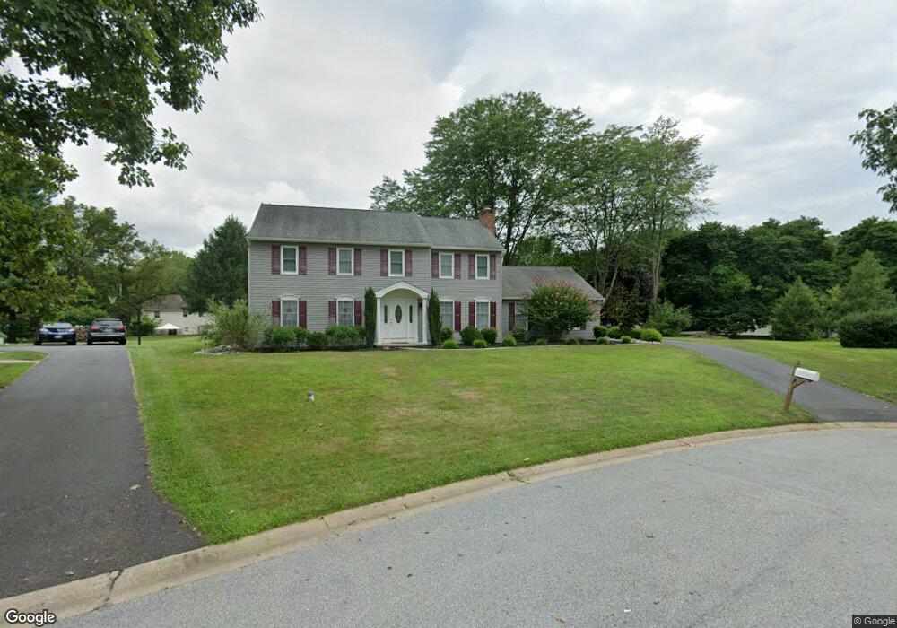
202 Swinburne Rd West Chester, PA 19382
Estimated Value: $805,000 - $920,000
4
Beds
3
Baths
2,400
Sq Ft
$356/Sq Ft
Est. Value
About This Home
This home is located at 202 Swinburne Rd, West Chester, PA 19382 and is currently estimated at $855,390, approximately $356 per square foot. 202 Swinburne Rd is a home located in Chester County with nearby schools including Sarah W Starkweather Elementary School, Stetson Middle School, and Bayard Rustin High School.
Ownership History
Date
Name
Owned For
Owner Type
Purchase Details
Closed on
Jun 9, 1999
Sold by
Ricciuti James R and Ricciuti Mary D
Bought by
Ricciuti Mary D
Current Estimated Value
Home Financials for this Owner
Home Financials are based on the most recent Mortgage that was taken out on this home.
Original Mortgage
$126,900
Interest Rate
6.99%
Create a Home Valuation Report for This Property
The Home Valuation Report is an in-depth analysis detailing your home's value as well as a comparison with similar homes in the area
Home Values in the Area
Average Home Value in this Area
Purchase History
| Date | Buyer | Sale Price | Title Company |
|---|---|---|---|
| Ricciuti Mary D | -- | -- |
Source: Public Records
Mortgage History
| Date | Status | Borrower | Loan Amount |
|---|---|---|---|
| Previous Owner | Ricciuti Mary D | $126,900 |
Source: Public Records
Tax History Compared to Growth
Tax History
| Year | Tax Paid | Tax Assessment Tax Assessment Total Assessment is a certain percentage of the fair market value that is determined by local assessors to be the total taxable value of land and additions on the property. | Land | Improvement |
|---|---|---|---|---|
| 2025 | $7,066 | $228,610 | $52,940 | $175,670 |
| 2024 | $7,066 | $228,610 | $52,940 | $175,670 |
| 2023 | $7,018 | $228,610 | $52,940 | $175,670 |
| 2022 | $6,884 | $228,610 | $52,940 | $175,670 |
| 2021 | $6,793 | $228,610 | $52,940 | $175,670 |
| 2020 | $6,751 | $228,610 | $52,940 | $175,670 |
| 2019 | $6,662 | $228,610 | $52,940 | $175,670 |
| 2018 | $6,528 | $228,610 | $52,940 | $175,670 |
| 2017 | $6,394 | $228,610 | $52,940 | $175,670 |
| 2016 | $4,965 | $228,610 | $52,940 | $175,670 |
| 2015 | $4,965 | $228,610 | $52,940 | $175,670 |
| 2014 | $4,965 | $228,610 | $52,940 | $175,670 |
Source: Public Records
Map
Nearby Homes
- 123 E Street Rd
- 1075 Westwood Dr
- 600 Oaklea Ln
- 111 Gilpin Dr
- 120 Gilpin Dr
- 231 Caleb Dr Unit 21
- 1261 Buck Ln
- 7 S Garden Cir
- 7 Garden Cir
- 102 Cheyney Dr
- 501 W Street Rd
- 1252 Northgate Rd
- 1015 Adams Way
- 602 John Anthony Dr
- 671 Casey Ln
- 1119 S New St
- 202 Larchwood Rd
- 1549 S Coventry Ln
- 924 Trellis Ln
- 300 Greenbriar Dr
- 204 Swinburne Rd
- 1147 Fielding Dr
- 1149 Fielding Dr
- 203 Swinburne Rd
- 1145 Fielding Dr
- 1151 Fielding Dr
- 205 Swinburne Rd
- 206 Swinburne Rd
- 1155 Fielding Dr
- 1143 Fielding Dr
- 207 Swinburne Rd
- 1157 Fielding Dr
- 208 Swinburne Rd
- 1161 Fielding Dr
- 202 Piedmont Rd
- 1150 Fielding Dr
- 1162 Pynchon Hall Rd
- 200 Piedmont Rd
- 1146 Fielding Dr
- 1152 Fielding Dr