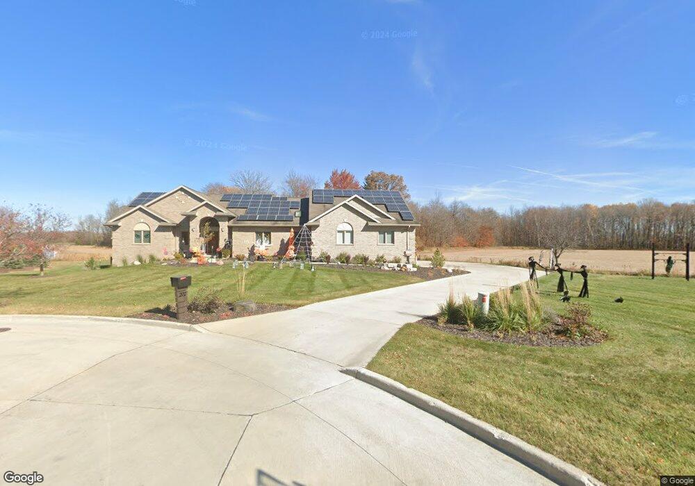
202 Tatum Ct Manitowoc, WI 54220
Estimated Value: $550,000 - $587,225
4
Beds
4
Baths
3,798
Sq Ft
$150/Sq Ft
Est. Value
About This Home
This home is located at 202 Tatum Ct, Manitowoc, WI 54220 and is currently estimated at $568,613, approximately $149 per square foot. 202 Tatum Ct is a home located in Manitowoc County with nearby schools including Riverview Elementary School, Wilson Middle School, and Lincoln High School.
Ownership History
Date
Name
Owned For
Owner Type
Purchase Details
Closed on
Jan 17, 2008
Sold by
Executive Estates Llc
Bought by
Scherer Kurtis S and Scherer Jolene M
Current Estimated Value
Home Financials for this Owner
Home Financials are based on the most recent Mortgage that was taken out on this home.
Original Mortgage
$300,000
Interest Rate
6.22%
Mortgage Type
New Conventional
Create a Home Valuation Report for This Property
The Home Valuation Report is an in-depth analysis detailing your home's value as well as a comparison with similar homes in the area
Home Values in the Area
Average Home Value in this Area
Purchase History
| Date | Buyer | Sale Price | Title Company |
|---|---|---|---|
| Scherer Kurtis S | $68,000 | None Available |
Source: Public Records
Mortgage History
| Date | Status | Borrower | Loan Amount |
|---|---|---|---|
| Closed | Scherer Kurtis S | $300,000 |
Source: Public Records
Tax History
| Year | Tax Paid | Tax Assessment Tax Assessment Total Assessment is a certain percentage of the fair market value that is determined by local assessors to be the total taxable value of land and additions on the property. | Land | Improvement |
|---|---|---|---|---|
| 2024 | $8,617 | $499,600 | $52,100 | $447,500 |
| 2023 | $7,877 | $494,200 | $52,100 | $442,100 |
| 2022 | $7,029 | $372,100 | $52,100 | $320,000 |
| 2021 | $7,114 | $372,100 | $52,100 | $320,000 |
| 2020 | $8,176 | $330,100 | $52,100 | $278,000 |
| 2019 | $8,194 | $330,100 | $52,100 | $278,000 |
| 2018 | $8,146 | $330,100 | $52,100 | $278,000 |
| 2017 | $8,107 | $330,100 | $52,100 | $278,000 |
| 2016 | $8,079 | $330,100 | $52,100 | $278,000 |
| 2015 | $6,931 | $330,100 | $52,100 | $278,000 |
| 2014 | $6,751 | $330,100 | $52,100 | $278,000 |
| 2013 | $6,825 | $330,100 | $52,100 | $278,000 |
Source: Public Records
Map
Nearby Homes
- 402 Wild Oak Dr
- 2348 Wild Oak Dr
- LT0 Mosie Ct
- 2510 Stoney Brook Ct
- 436 Maple Leaf Ct
- 1925 Creekwood Ct
- 910 E Cedar Ave Unit 604
- 1616 Fern Dr
- 1604 Holly Dr
- 807 E Linden Ave
- 1102 E Cedar Ave
- 1339 Wolf Run
- 1335 Lynx Ln
- 1920 Ravenswood Ln
- 1922 Ravenswood Ln
- 1926 Ravenswood Ln
- 1928 Ravenswood Ln
- 1934 Ravenswood Ln
- 1936 Ravenswood Ln
- 1209 E Thomas St
- Lt 7 Tatum Ct
- Lt 10 Tatum Ct
- Lt 6 Tatum Ct
- 218 Tatum Ct
- 223 Tatum Ct
- 2355 Wild Oak Dr
- 401 Wild Oak Dr
- Lot 24 Mosie Ct
- Lot24 Mosie Ct
- Lt20 Mosie Ct
- Lt21 Mosie Ct
- 302 Mosie Ct
- Lt99 Mosie Ct
- Lt21 Mosie Ct Unit Blk7
- 412 Wild Oak Dr
- 0 Wild Oak Dr
- 411 Wild Oak Dr
- 2339 Wild Oak Dr
- 339 Mosie Ct
- 327 Mosie Ct
Your Personal Tour Guide
Ask me questions while you tour the home.